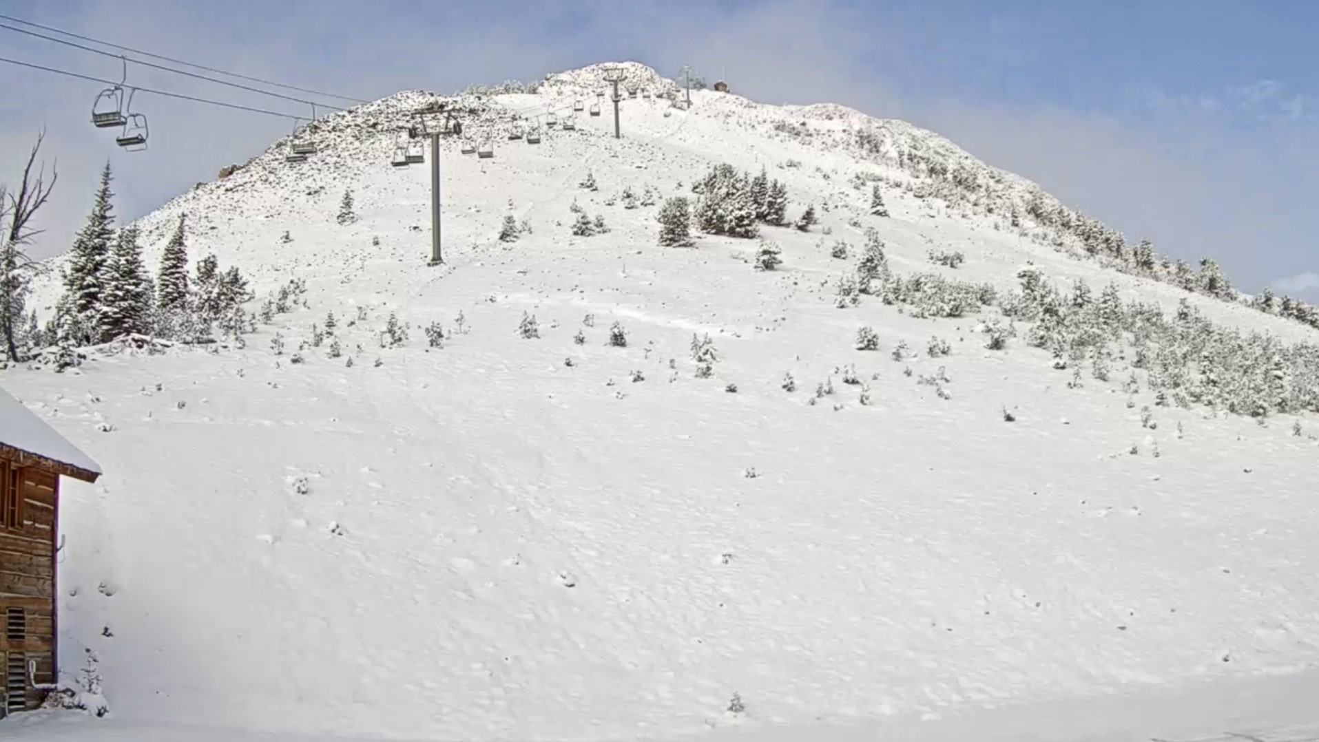
On October 17, rain turned to snow and blanketed the mountains of southwest Montana with a fresh coat of snow. Photo: Yellowstone Club Webcam
Trip Planning for Cooke City Area

Primary Problem: Wind-Drifted Snow
Bottom Line: While most slopes are still bare ground and have no avalanche hazard, there is now some snow in the mountains and that requires considering the potential for avalanches. Treat every steep, snow covered slope as suspect until proven otherwise. Carry a beacon, shovel and probe, follow safe travel protocols and watch for signs of instability when traveling in and around steep snow-covered terrain. Past 5 Days
Mon Apr 29

None
None
Thu May 2
None
None
Wed Oct 16
None
None
Fri Oct 18
None
None
Thu Oct 24
None
None
Relevant Photos
Displaying 1 - 3
-

-
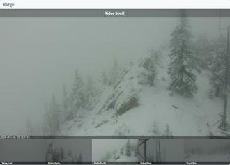
On October 17, rain turned to snow and blanketed the mountains of southwest Montana with a fresh coat of snow. Photo: Bridger Bowl Webcams
-
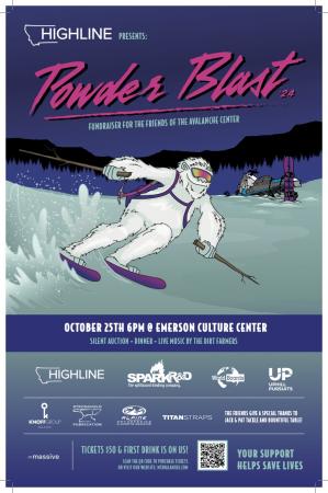
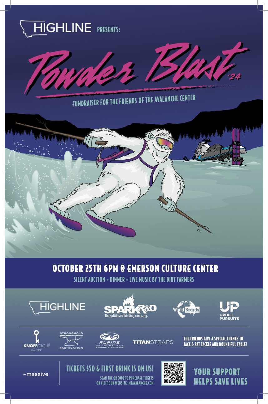
The 26th annual fundraiser for the Friends of the GNFAC is October 25 at the Emerson Cultural Center. More info and tickets at: https://events.eventgroove.com/event/Powder-Blast-2024-101627

Videos- Cooke City Area
WebCams
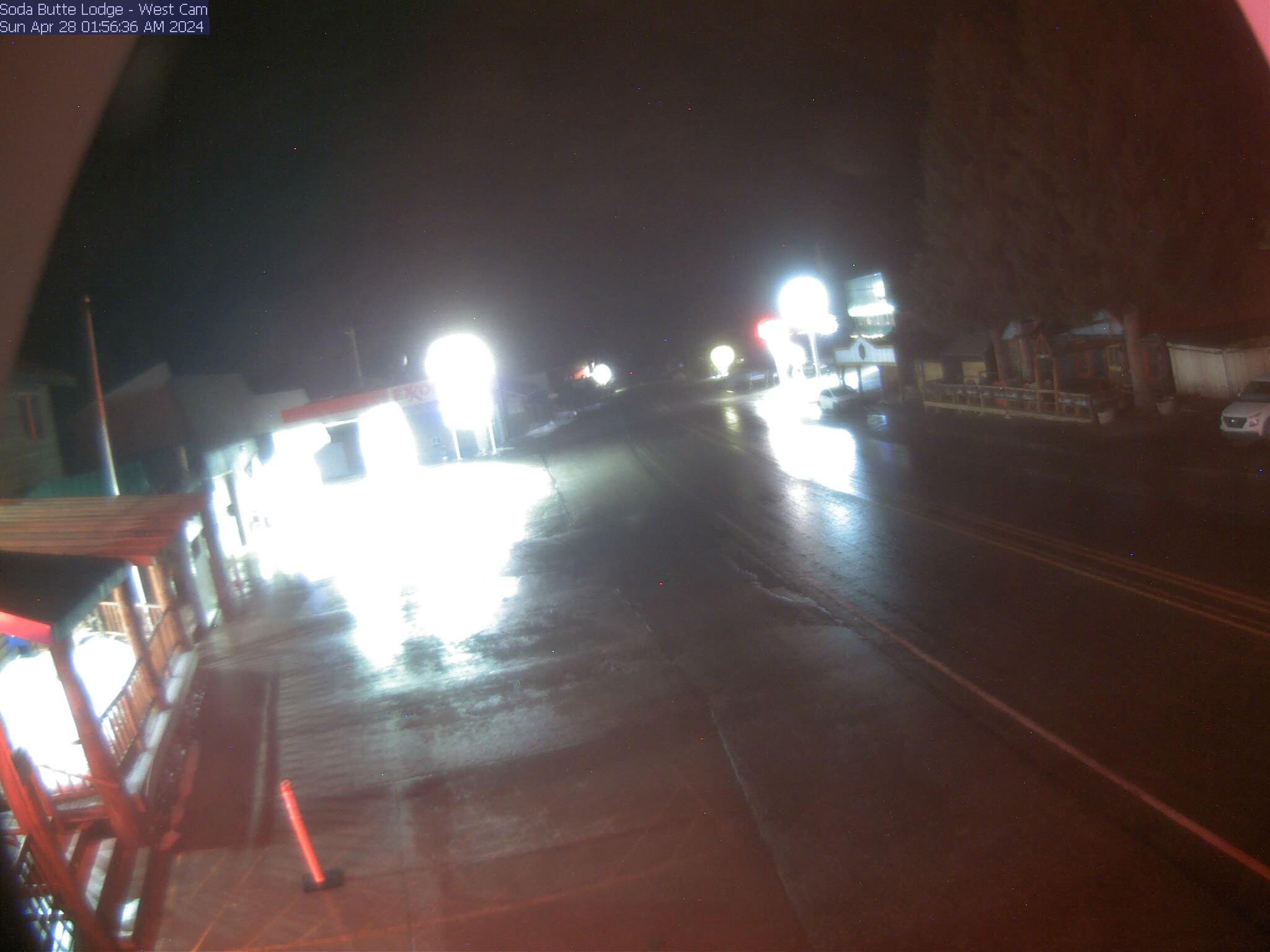
Soda Butte Lodge, looking West
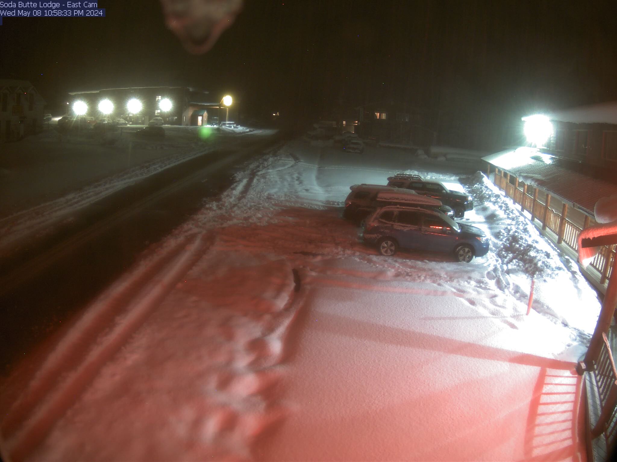
Soda Butte Lodge, looking East
Weather Stations- Cooke City Area
Weather Forecast Cooke City Area
Extended Forecast for2 Miles NNE Cooke City MT
This Afternoon

High: 49 °F
Sunny
Tonight

Low: 31 °F
Mostly Clear
Sunday

High: 50 °F
Becoming
SunnySunday Night
Low: 31 °F
Mostly Clear
Monday
High: 37 °F
Chance Snow
Showers then
Snow ShowersMonday Night

Low: 22 °F
Snow Showers
Tuesday

High: 27 °F
Snow
Tuesday Night
Low: 12 °F
Snow then
Chance SnowWednesday

High: 28 °F
Chance Snow
The Last Word
Get your Powder Blast tickets! Can’t attend the event? You can still donate online or bid on auction items to support The Friends of GNFAC.