Snow Observations List

GNFAC
Northern Gallatin
Mt Blackmore
Changing Conditions in Hyalite
Snow Obsdrvation includes images
Snow Obs contain video

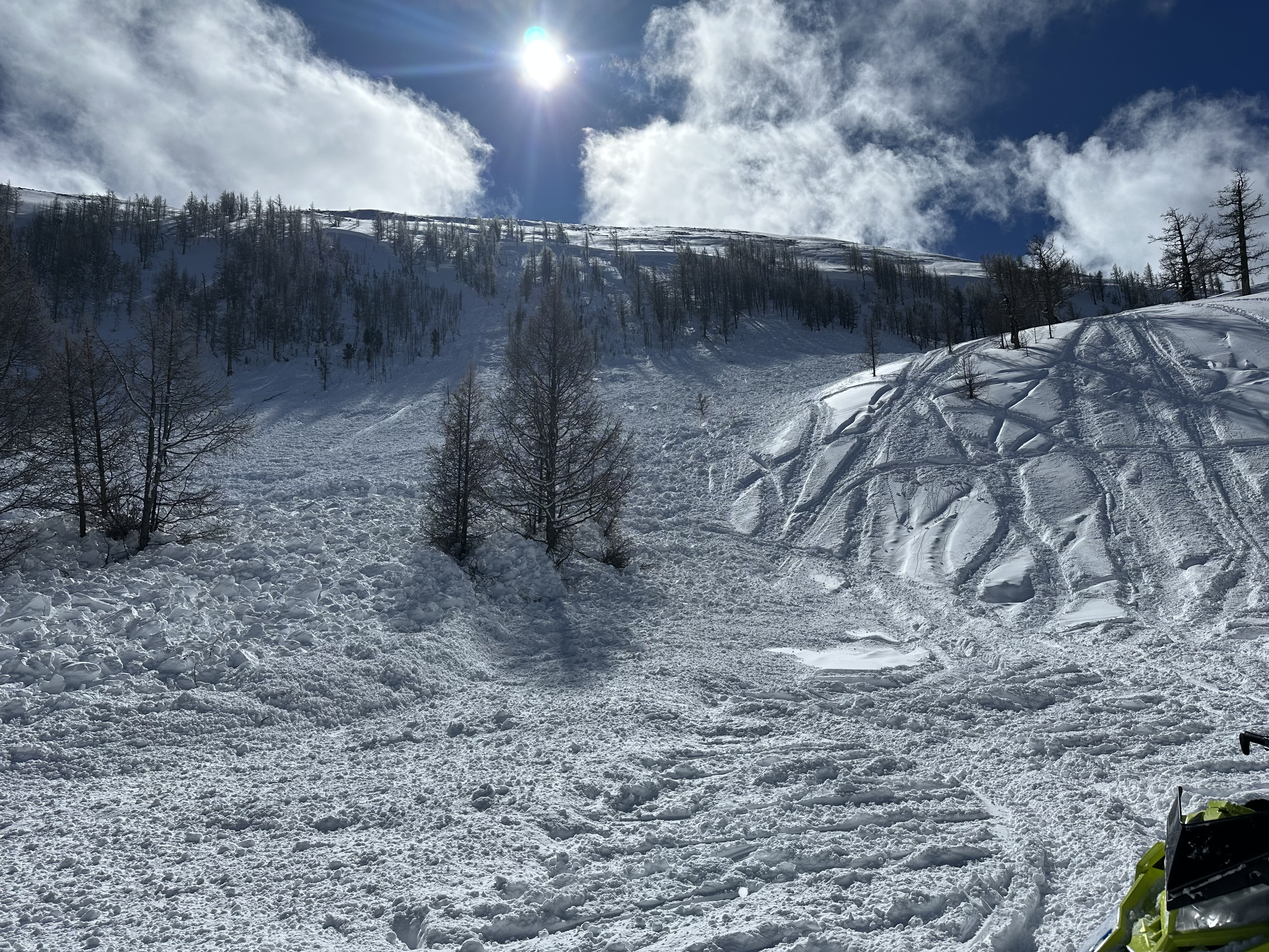
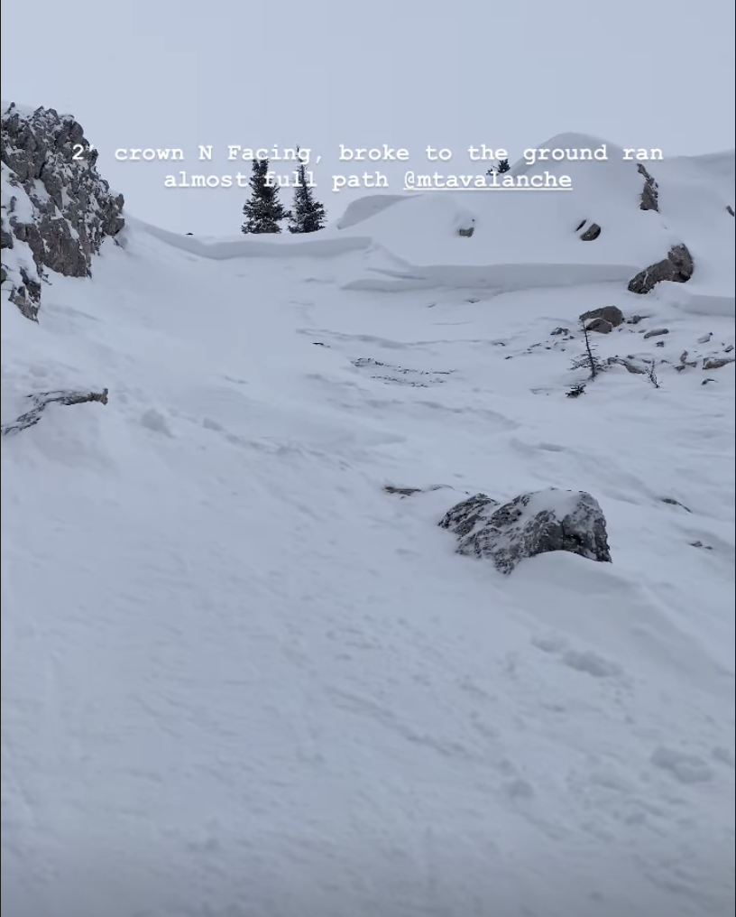
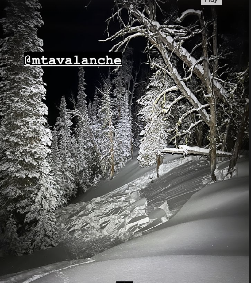
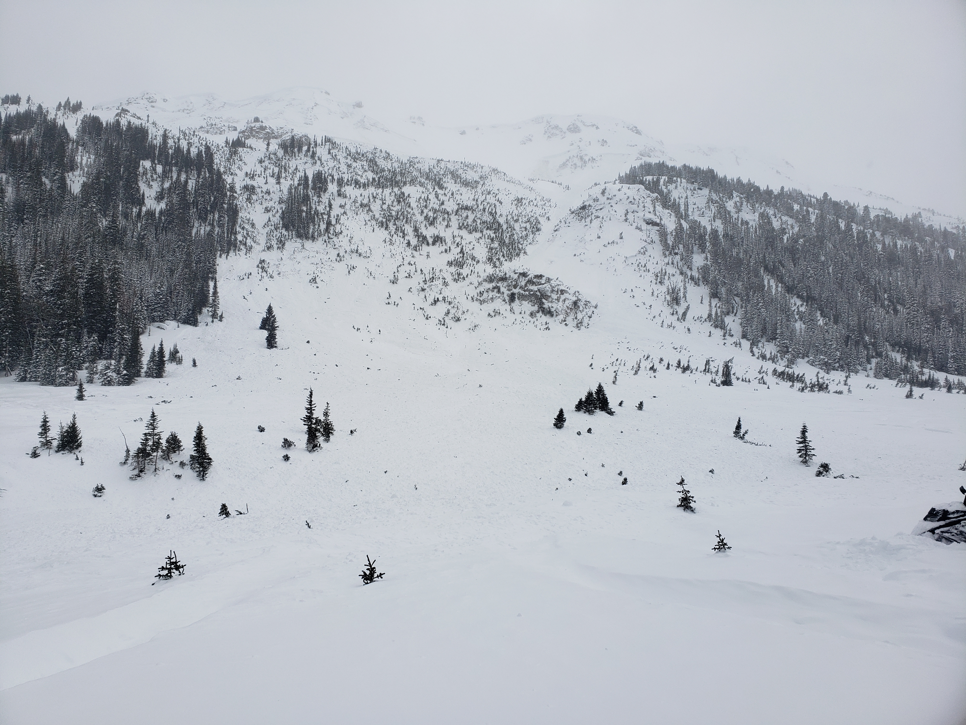
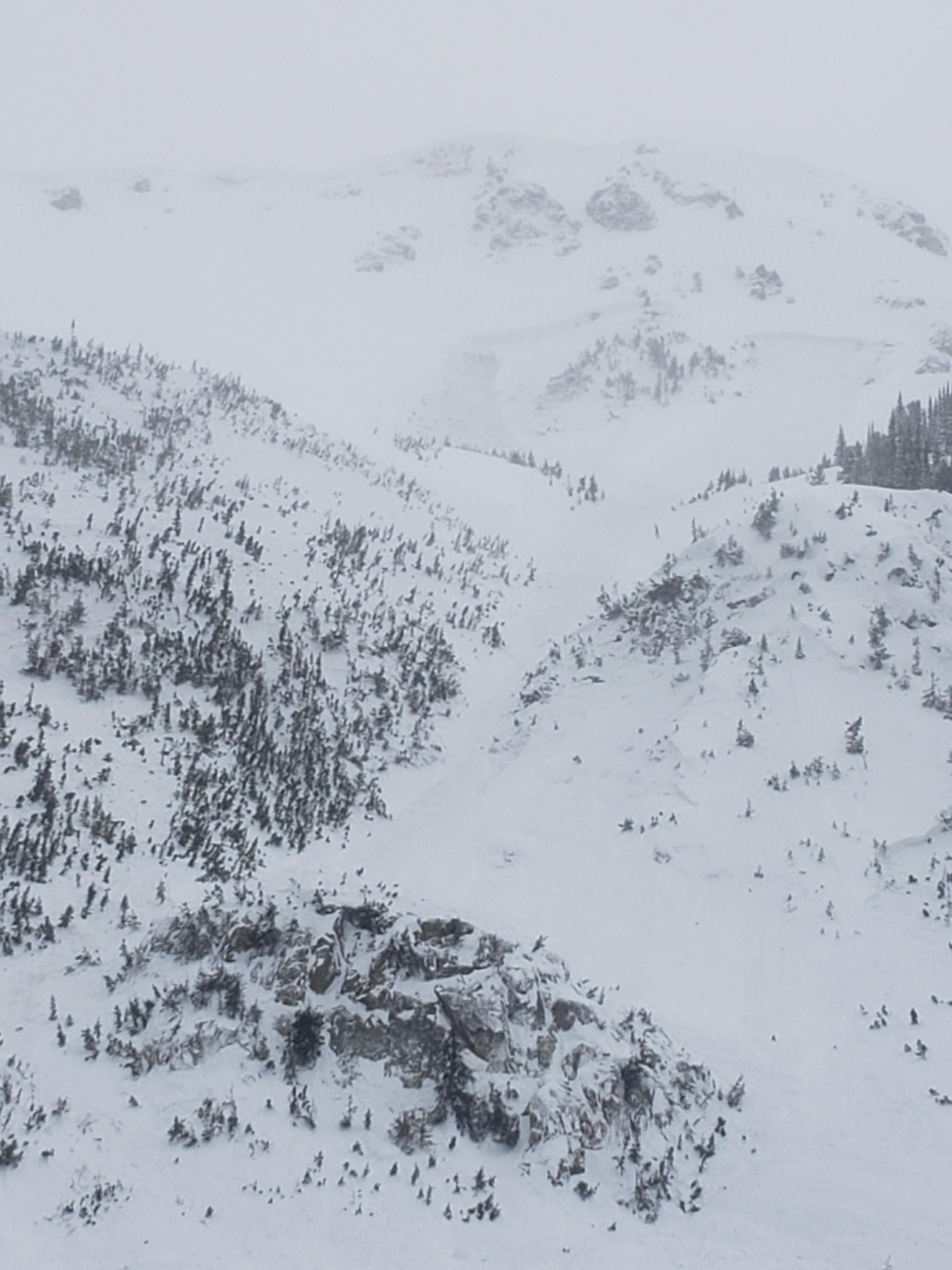
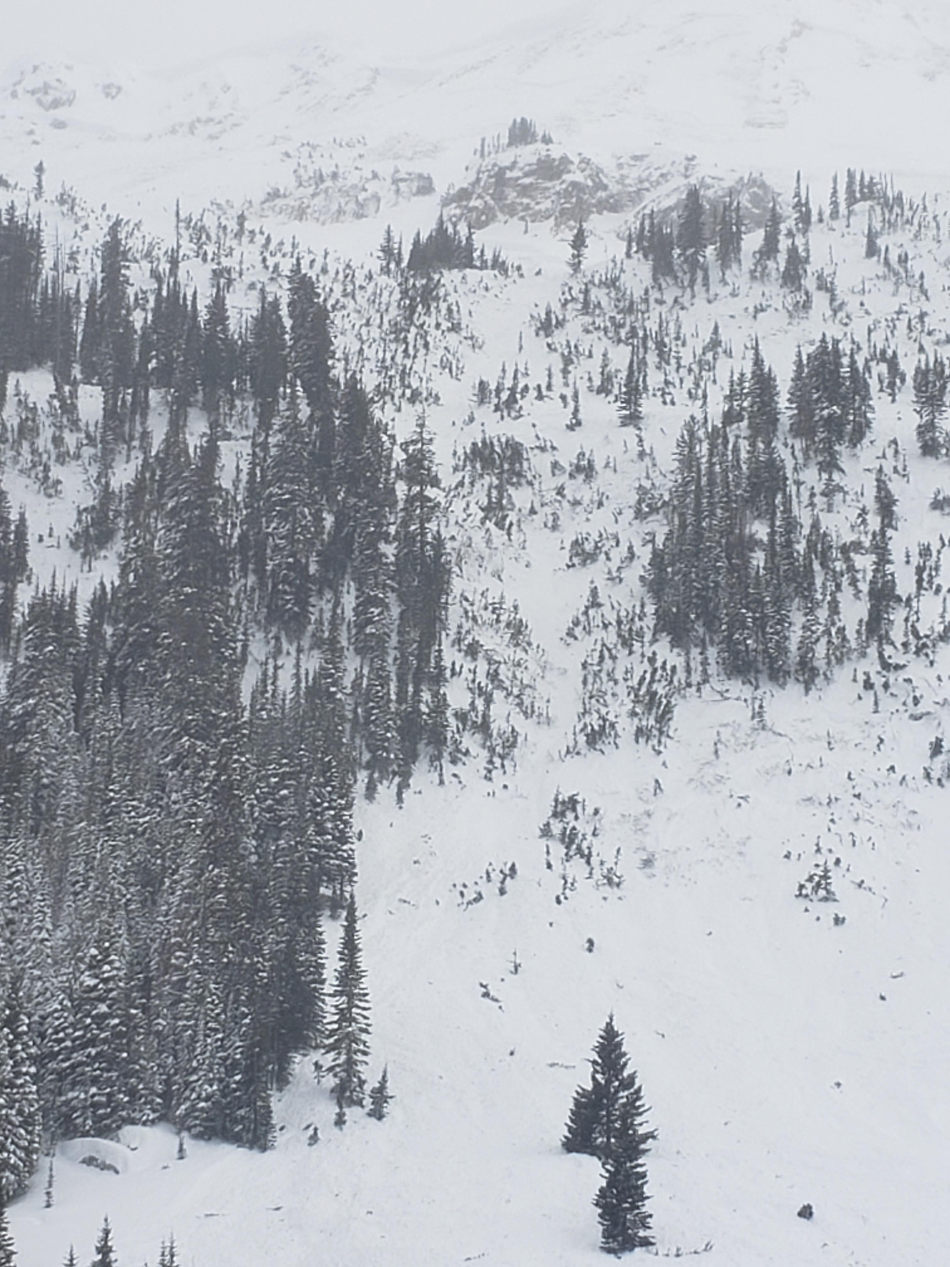
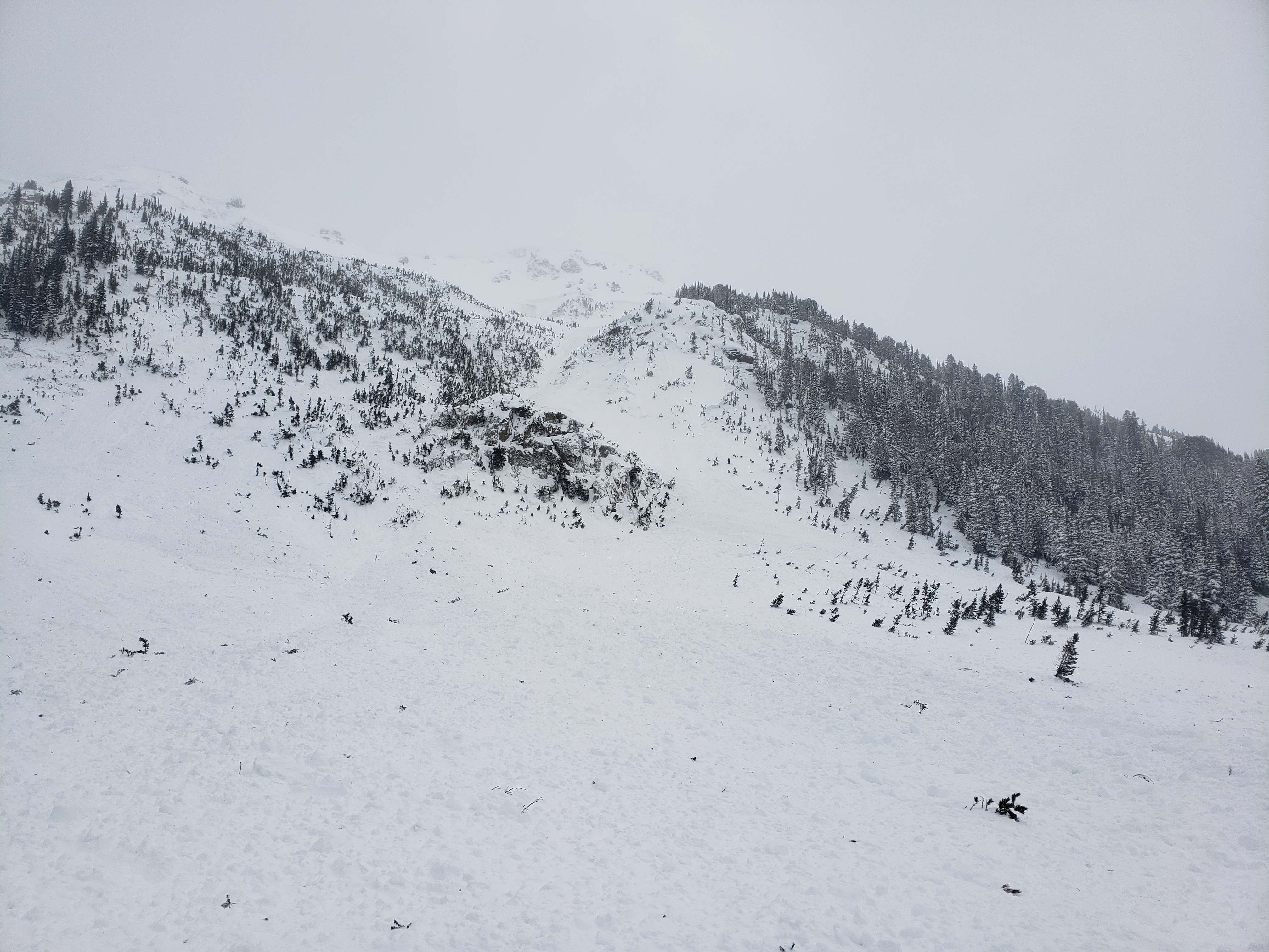
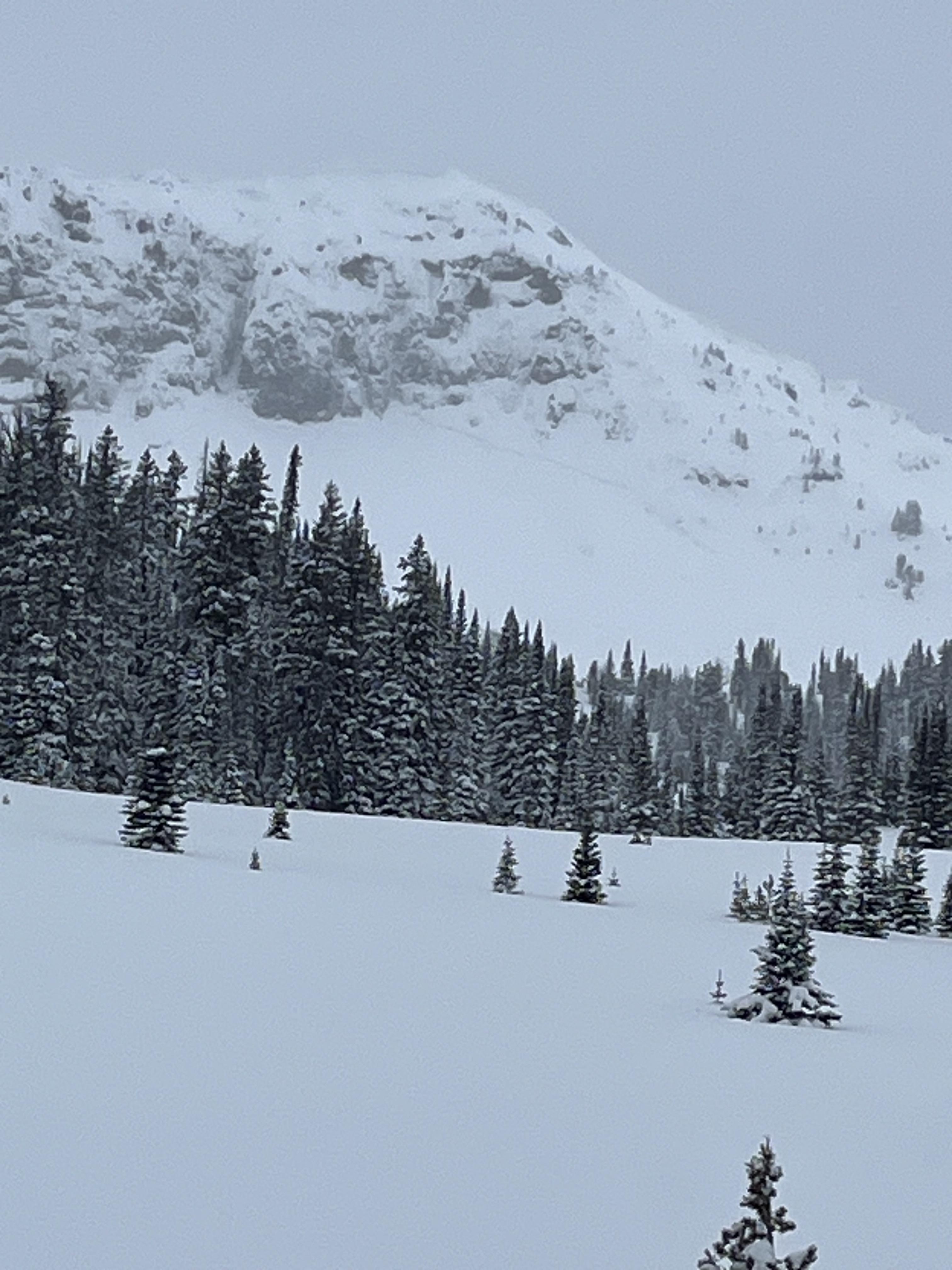
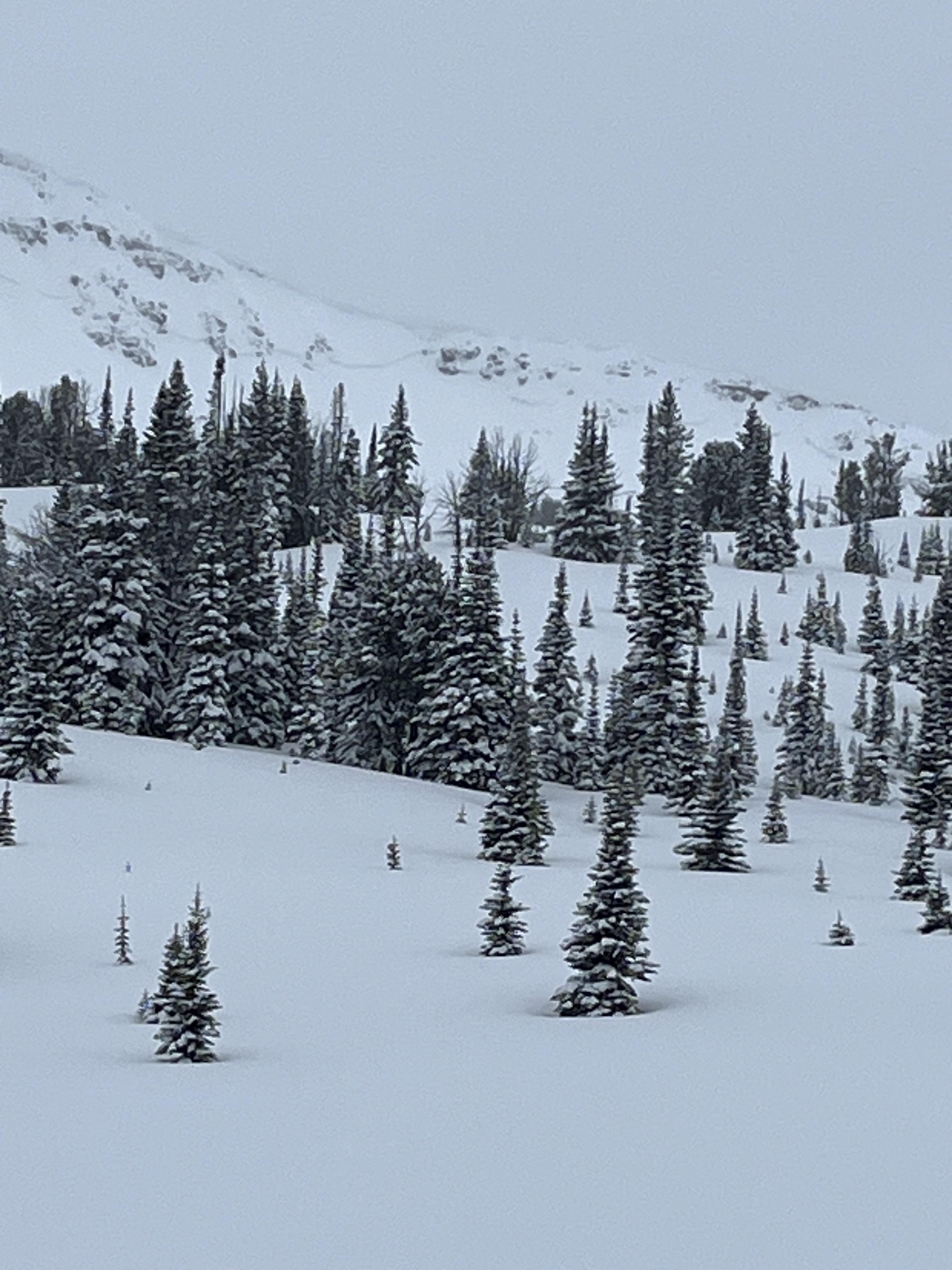
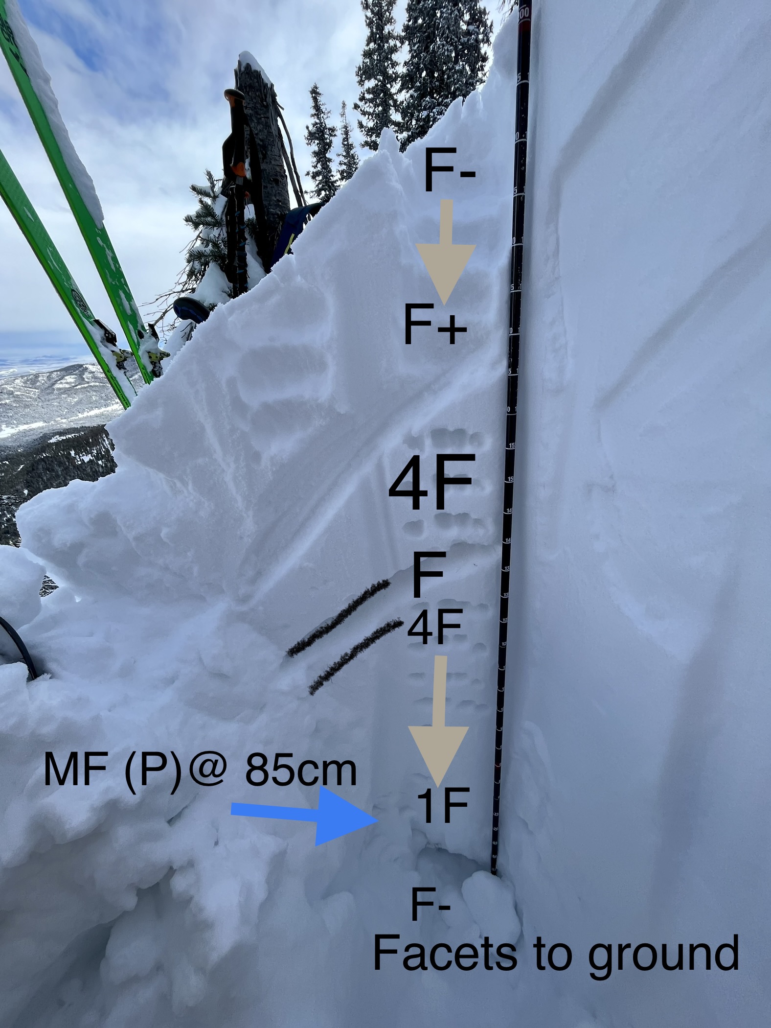
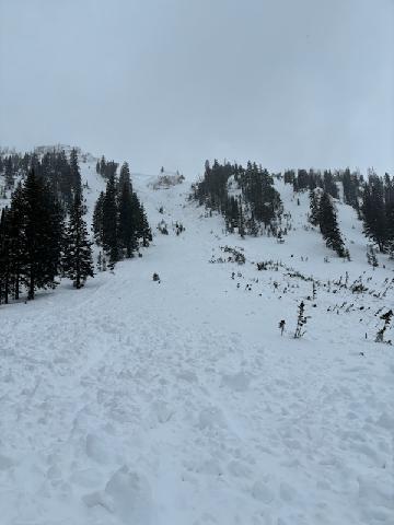
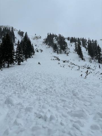
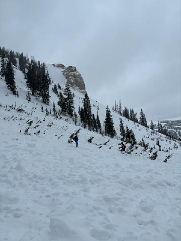
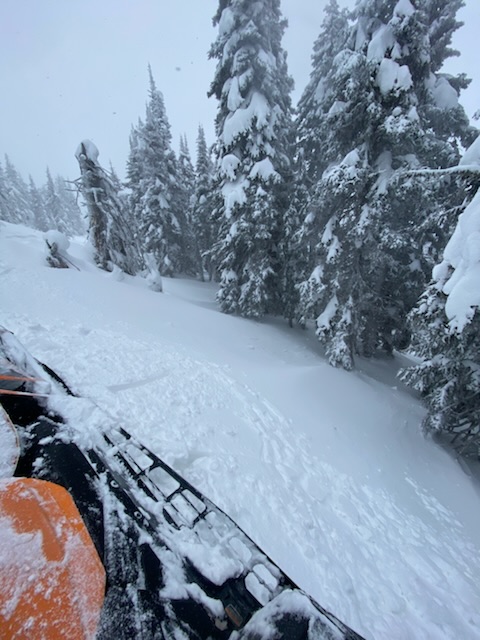
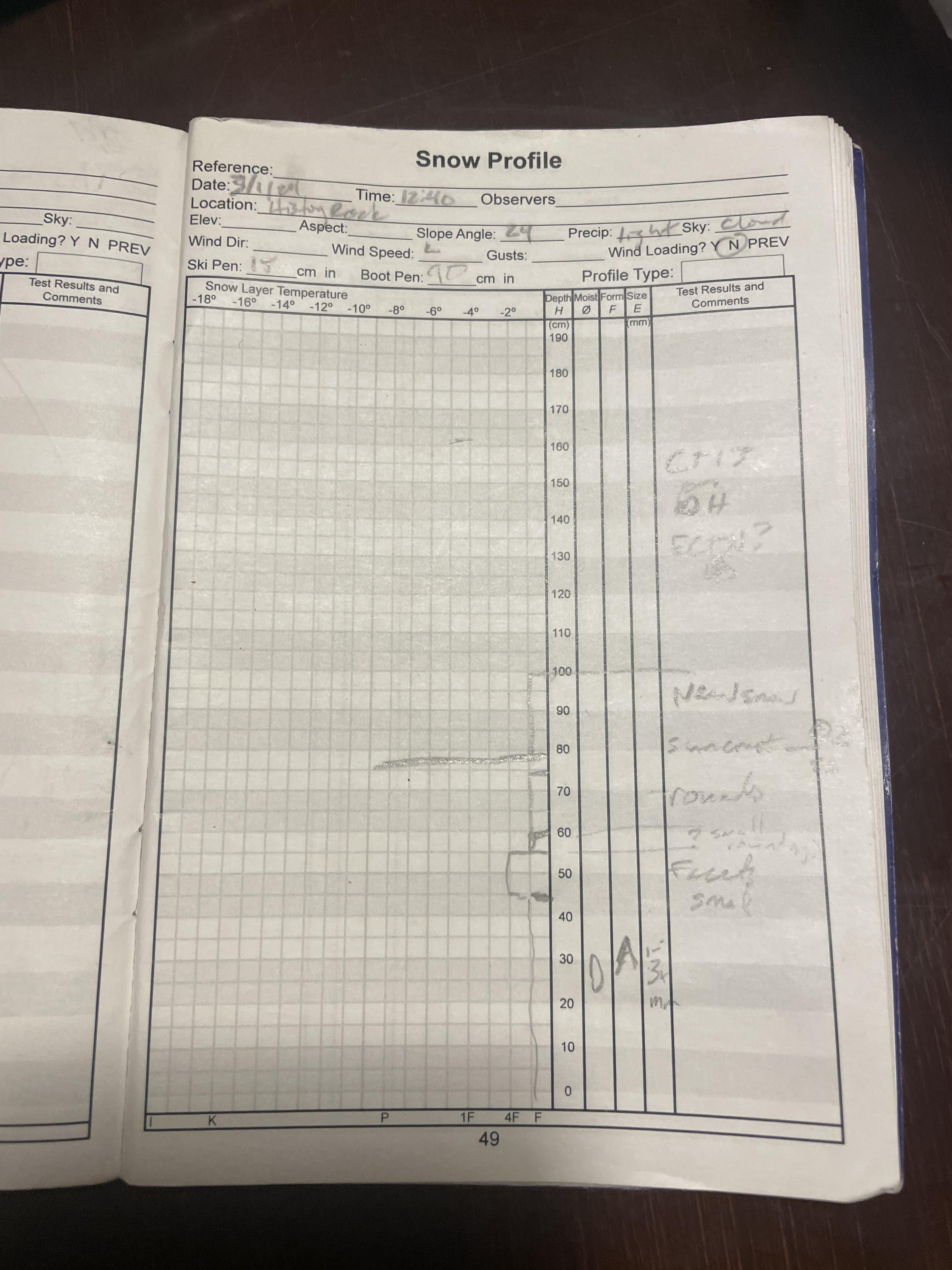
We toured up towards Mt. Blackmore, and dug a pit at 9,800' on an east facing aspect. The the height of snow was 6' (HS=184cm). We did not get any propagation in our pit from our ECT tests. The snow was increasing in intensity by the afternoon. There was ~2" of new snow as we skied out. With the new snow we are worried about the weak layers becoming more reactive again. We saw several layers of weak, sugary snow in the middle of the snowpack all the way to the ground. With more snow in the forecast new snow avalanches and avalanches that break deeper in the snowpack like the one reported on Elephant Mountain on 03/23/2023 could become likely. 

Full Snow Observation Report
Anonymous
Bridger Range
Wet slide in Lower Middle Cottonwood Canyon
Snow Obsdrvation includes images

I observed the results of a wet slide avalanche within the first mile of Middle Cottonwood Creek Trail. The slide came down from the south side of the canyon (north facing), and crossed the trail at about 4-5' deep and 10' across at the trail with debris and into the creek at the creek crossing about .75 mile from the trailhead. The crown was only about 100' up the side of the canyon. The avalanche would've occurred earlier in the week, there was just the skiff of snow on it from the previous light snow (22nd?). In the rest of that section there are pinwheels all along that south canyon slope (north facing).

This is the 3rd wet slide I've seen in the last 3-4 weeks on Middle Cottonwood in the same region where the trail is on the south side of the creek (mile .4-.80 from summer trailhead). This area is easily accessible by hikers (I was running) and I've seen wet slides in that area 3 of the last 4 years once the sun hammers that south slope in the afternoon. I would expect more at the next warm spell after this current storm cycle.

Full Snow Observation Report
GNFAC
Bridger Range
The Throne
Springtime in the Bridgers
Snow Obsdrvation includes images
Snow Obs contain video

We dug two pits on the Throne today, and we had an ECTX in each pit. One pit was on a north facing slope at 8,400' with 4.5' of snow (HS=136). There are weak layers in the bottom half of this pit. The second pit was south facing at 8,400' with 6' of snow (HS=180cm). In the south facing snowpit we found buried weak layers 1.5' below the surface, and there were facets at the bottom of the snowpack. Despite the spring like temperatures today, the south facing snowpit was dry throughout. We saw the top couple of inches of snow getting wet by late afternoon (~1400), but we did not see any avalanche activity from the warmup. The buried weak layers were not a concern today, but they could be this weekend with more snow on the way. 

Full Snow Observation Report
Anonymous
Northern Madison
Beehive Peak
Old deep slab in Spanish creek.
Snow Obsdrvation includes images

Toured around beehive peak today. Viewed 1 older large avalanche and other smaller slides. All were north to east aspects

Full Snow Observation Report
B. Jr
Lionhead Range
Massive Lionhead avalanche
Snow Obsdrvation includes images

Bowl after the climb up Denny Creek. The runout area is the first big downhill on the trail that follows the bottom of the ridge. Best guess is 24-48 hours old. Extremely deep runout. 

Full Snow Observation Report
Multiple
Northern Gallatin
Elephant Mountain
deep slab on Elephant
Snow Obsdrvation includes images

Compiled from multiple observations-

One observed noted "Large avalanche in the Bunny Ears on Elephant Mtn. Best guess is HS-N-R3/4-D3-O."

Second observer noted: "Skiers left flank appears at a distance to be 8-10' and by the looks of the bed surface I'd guess this was on advanced facets on an early season (late Oct/early Nov) ice crust."

Third observed submitted photos of slide from above.

Full Snow Observation Report
GNFAC
Cooke City
Daisy Pass
Snowmobiler triggered avalanche, caught and injured
Snow Obsdrvation includes images
Snow Obs contain video

From Ben Zavora at Beartooth Powder Guides on 3/23/23 at 11:00am: "Two guys stuck on slope next to chimney rock. SW aspect. Third guy rode to help and triggered the avalanche. No one buried. One rider broken tib/fib and possibly a femur getting life flighted out right now."

Full Snow Observation Report
GNFAC
Lionhead Range
Hebgen Lake
Low Probability, High Consequence
Snow Obs contain video

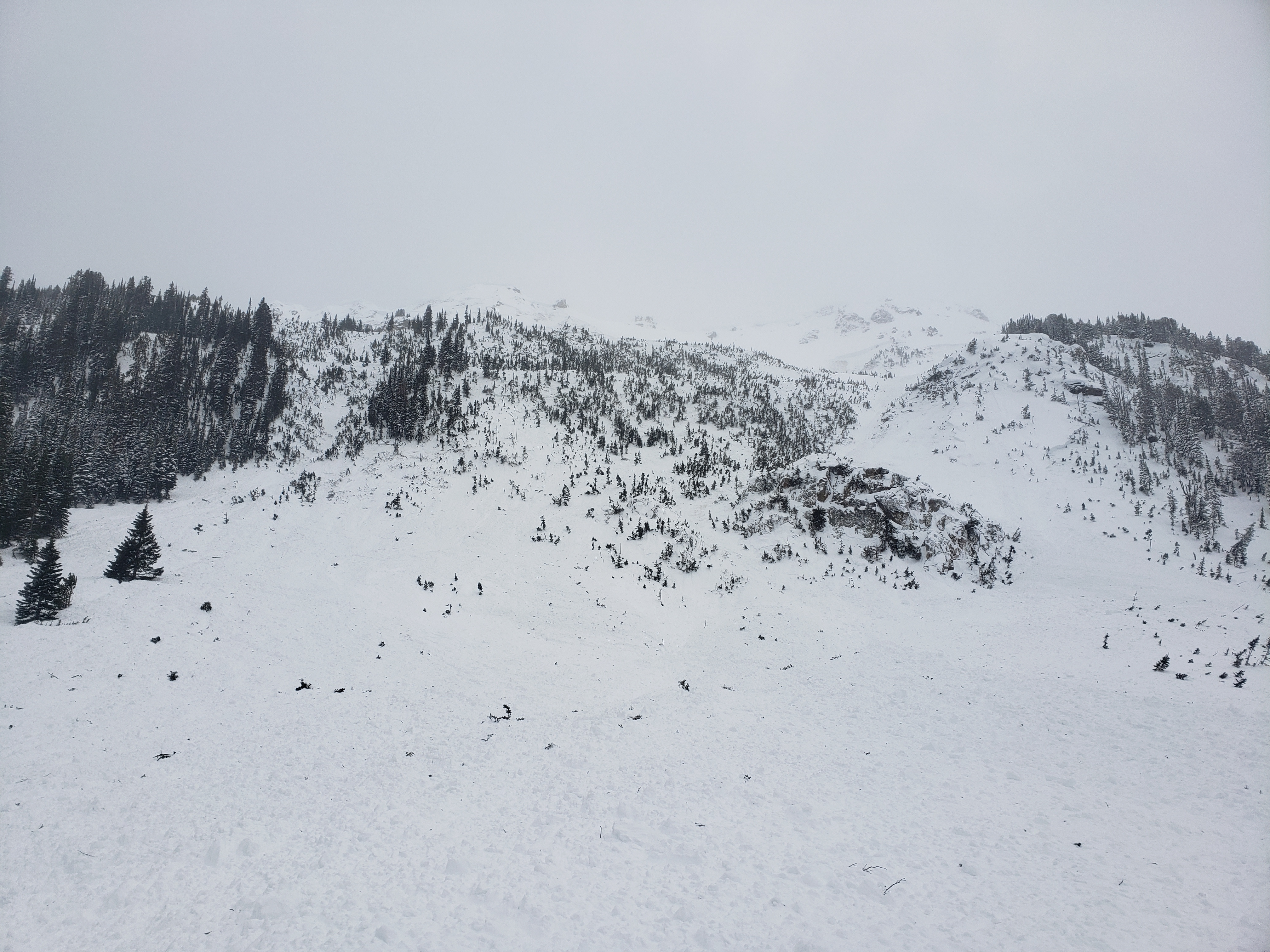
There has been a dramatic shift from last week's Avalanche Warning and major avalanche cycle to today at Hebgen Lake. Triggering a large avalanche is becoming much less likely. We had ECTXs in both our snowpits. In one (on a NE aspect), the weak layers were unremarkable. In the second (SE aspect), the snowpack was thinner, and we found a couple of layers of facets. Nothing broke in the test, but recent large avalanches in the vicinity lead me to maintain a healthy skepticism. We remain wary because if you find the wrong spot, trigger an avalanche, and get caught, the result could easily be unsurvivable.

If you take that chance, ease into avalanche terrain rather than going for large slopes, choose less wind-loaded slopes that are generally safer, and follow safe travel protocols, only exposing one person at a time to avalanche terrain.

On a non-avalanche related note, while I was glassing Lionhead Ridge for avalanches, I saw what I believe were the markings (mud and debris) from a bear coming out of hibernation. The season is changing—time to carry bear spray. I know, if it's not one thing, it's another. 

Full Snow Observation Report
T.
Northern Gallatin
Mt Blackmore
Sluffing and wet slides on blackmore

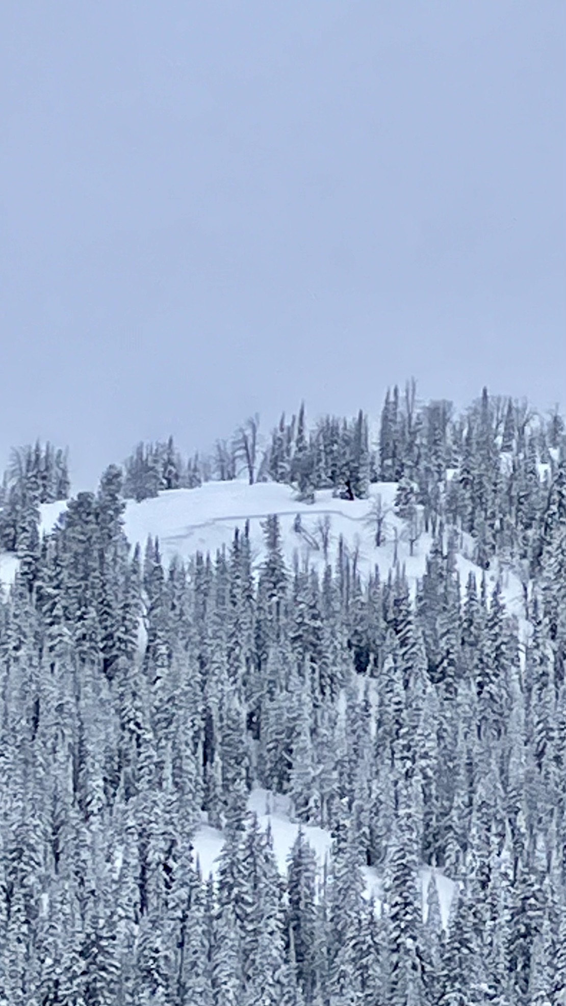
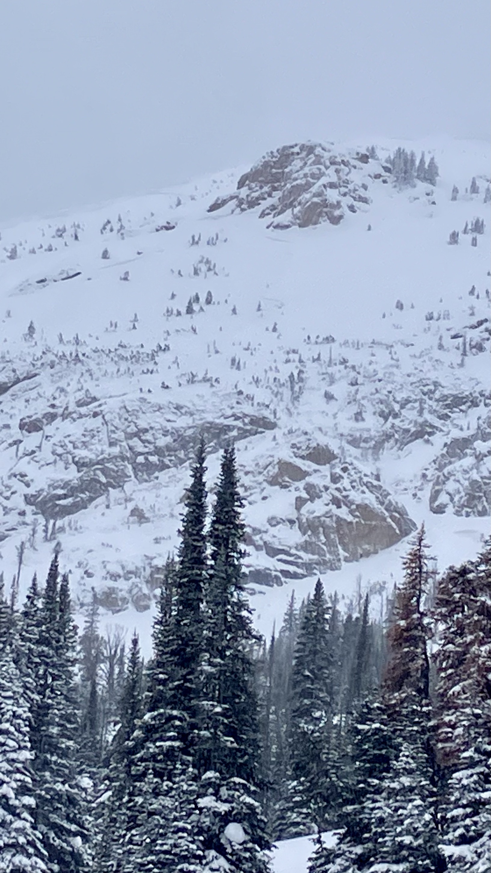
Sorry no photos, but I toured up blackmore today and saw alot of sluffing on steep terrain and very wet snow on s terrain. I pushed off a small wet slide that built a good amount of momentum and could've ran far if the terrain allowed. I did dig a pit down to the new old snow interface and had no results in an ect.

Full Snow Observation Report
J. Lipkowitz
Northern Madison
Big sky area obs

We found 2-3" of storm snow from 6700' to about 8000' on a south southeast aspect.  New snow height increased above 8000', topping out at 6-8" at the ridge at 9600'. It snowed lightly all day. There was a stout melt freeze crust on the slope all the way up to the ridge below the new snow.

From the ridge, we descended a north facing slope and found great skiing with some surface sluffing, no surface slab, and no obvious signs of instability.  There were no signs of wind loading where we were and the wind was light and variable all day.  

After ascending and regaining the ridge, we descended the dust on crust on the south southeast aspect that we ascended in the morning.

Full Snow Observation Report
Anonymous
Northern Gallatin
Divide Cirque
New snow slide in divide basin
Snow Obsdrvation includes images

I went for a walk up to divide basin today and noticed a slide in the back of the basin on a high north facing slope , there was 5” of low density snow up high 

Full Snow Observation Report
GNFAC
Northern Madison
Buck Ridge
Various Avalanche Problems
Snow Obsdrvation includes images
Snow Obs contain video

We rode through Second Yellow Mule, and then we headed back towards Cedar Creek. There was 2-4" of new snow throughout the area. Next, we rode to Bear Creek and dug a pit. We dug on an east facing aspect, and there was ~4 feet of snow (HS = 130 cm). We had an ECTX. Despite the crust and some warmer temps before today, the snowpack is still dry throughout, and there are still facets in the bottom half of the snowpack. During our ride we were looking for recent avalanche activity, and we only saw a couple of small point releases. We are still concerned about large, unsurvivable avalanches breaking on the weak layers deeper in the snowpack.

Full Snow Observation Report
Pete
Cooke City
Woody Ridge
Woody Ridge Obs
Snow Obsdrvation includes images

Skied on west and east sides of Woody Ridge.  Observed a few small soft wind slab avalanches involving only new snow around the submarine. Dug a pit about a meter deep on west aspect about 9,700 feet.  HS was 290cm. No result on extended column test. Fist to 265, 4F to 245, 1f to 200 where there is a crust layer, back to 1f below that.

Full Snow Observation Report
A. Dunn
Island Park
Hellroaring Creek
Hellroaring Creek Avalanche Cycle
Snow Obsdrvation includes images

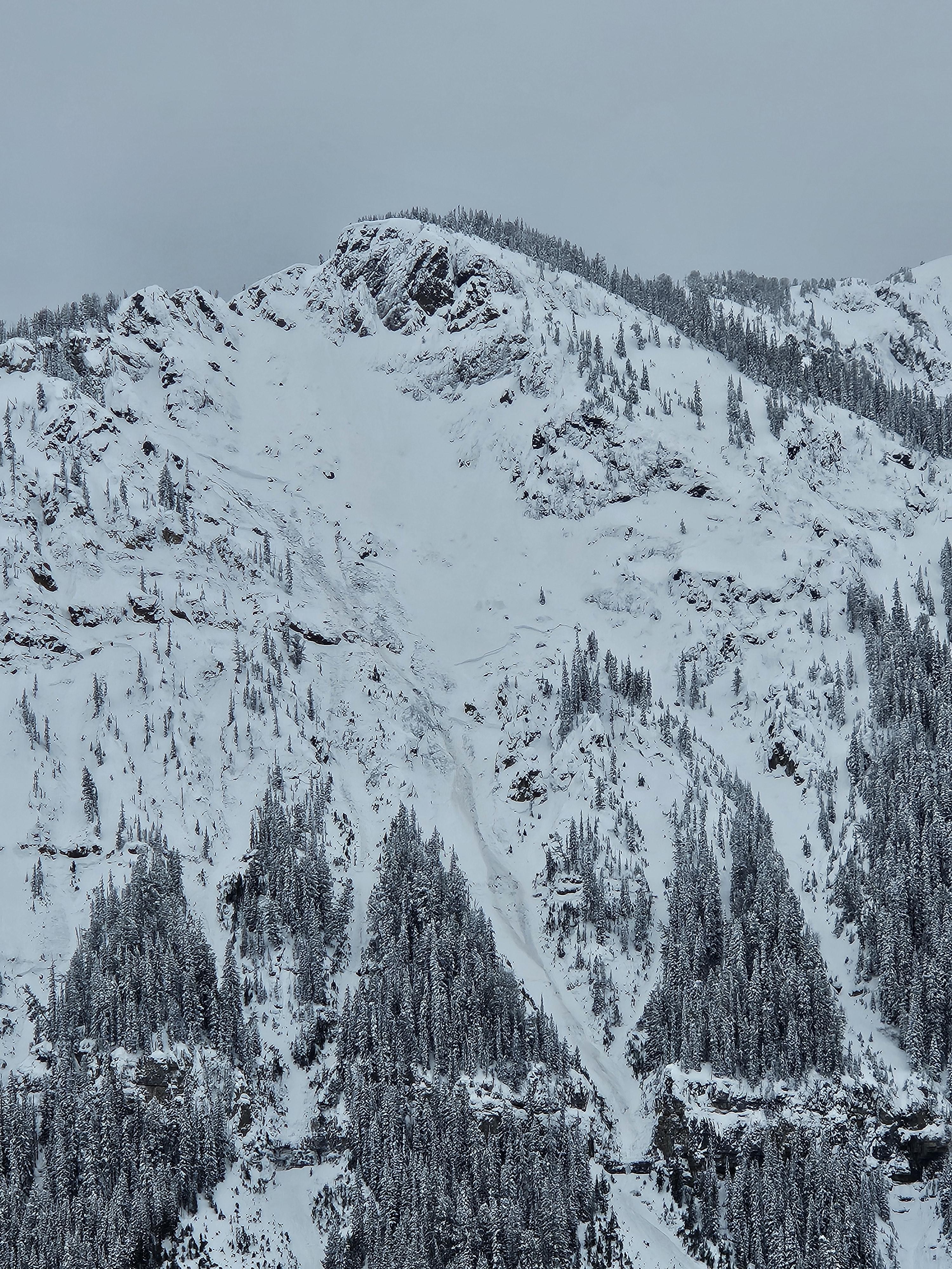
Toured into the hellroaring creek 3/15-3/19. Snowing and blowing hard on 3/15 till approx 1500 hrs when wind veered to the north and skies cleared for the rest of the trip with generally cold temps and light winds. Solar aspects heating up in the day with extensive sun crusting on steeper slopes facing the south half of the compass. Observed aftermath of extensive avy cycle(s) one of which prior party reported occurred approx 3/10-11 at higher elevations on Nemesis (above 8000 ft.). And another on lower elevation steep slopes above creek at approx 7500 ft that may have ran during the storm on 3/14 as less snow covered that debris than the higher elev runouts. Everything observed were on westerly aspects and deep slab avalanches breaking approx 90-120 cm down. We did not investigate the weak layer. Suspect it to be the crust facet combo observed by a previous party in early March. Heavy wet snow possibly mixed with rain on 3/14-15 likely tipped the scales for these lower elevation slopes below 7500. No signs of instability of the new storm/wind slab during the five day trip, however we did get a few large collapses but these were isolated to heavily wind loaded areas in more exposed terrain. No other natural or human triggered avalanches observed during the trip. Many machiners were out testing steep slopes after the storm and we saw no signs of any human triggered avalanches. We did not measure height of snow but judging by the buried hut and the non-motorized boundary signs barely poking out of the snow, thinking about 10 feet deep at 8000 ft.

Full Snow Observation Report
GNFAC
Bridger Range
Frazier Basin
New snow avalanches and weak facets
Snow Obsdrvation includes images
Snow Obs contain video

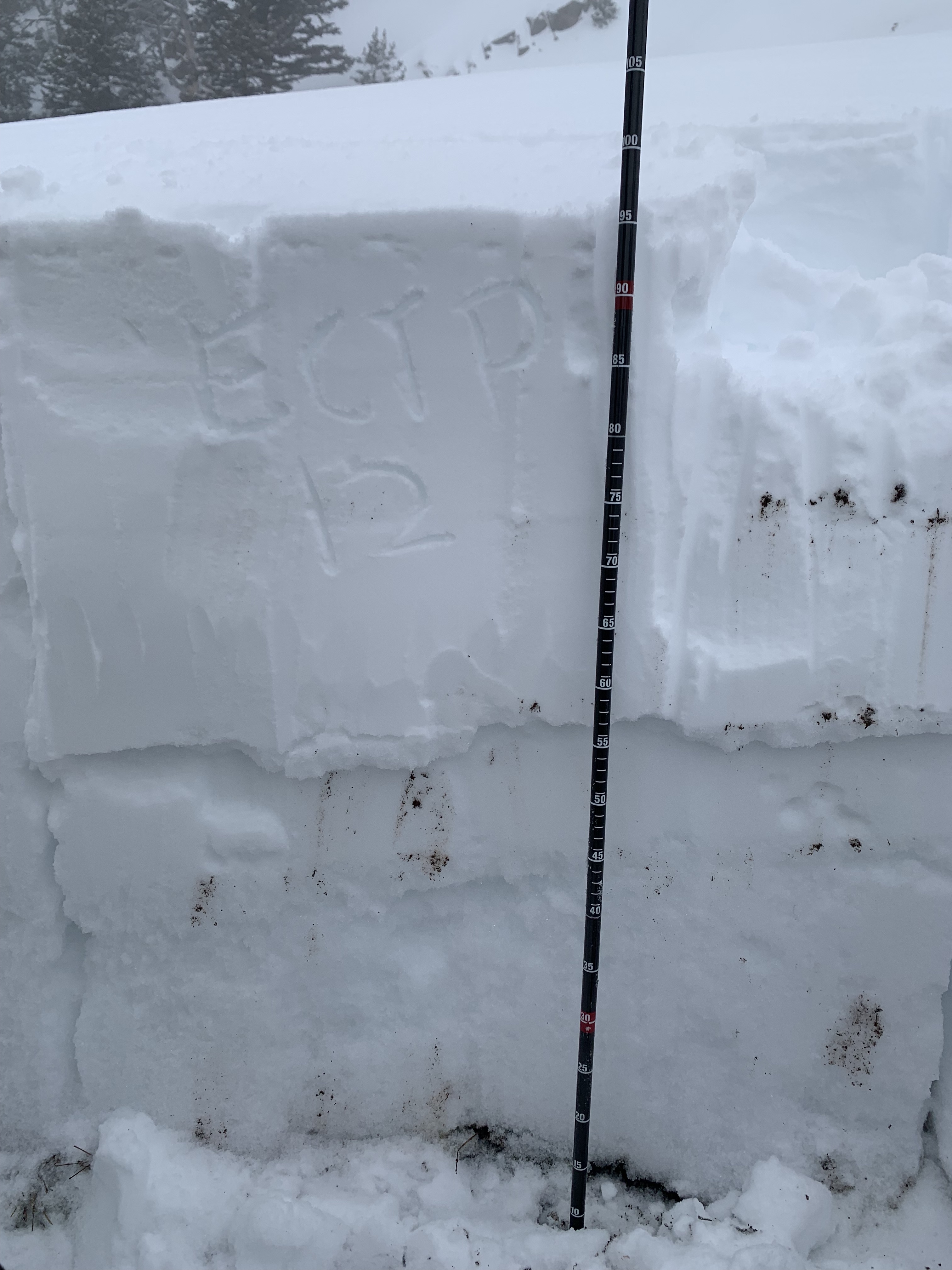
We skied into Frazier Basin, and down into Ainger Lake area. We dug our first snow pit on a north-facing slope below Thing One and Thing Two. The Snowpack was deep, and the upper meter consisted of layers of wind slabs on top of wind slabs (Ectx). We dug again on a northeast-facing slope below Frazier basin. Similarly, we found a deep snowpack with no notable weak layers in the upper 4 feet. We dug a third pit on a southeast-facing slope as we skinned out. The snowpack was much thinner (140cm), and we found weak depth hoar buried 3 1/2 to 4 feet deep with an unstable test result (ectp21). The instability was related to the snow depth rather than the aspect. Given that there was a large natural avalanche a few basins to the south a week ago, we remain concerned about avalanches breaking deep in the snowpack.

As we returned to Frazier Basin from below, we immediately saw five natural avalanches on the southeast-facing wall of the basin. These had occurred while we were skiing the terrain below. They entrained only the 1 to 2 inches of snow that had fallen during the day. However, they were notable in that they ran 500 to 700 vertical feet. They were likely initiated by warming from the proximal cliff faces. They indicate that the new snow may not bond well to the old snow surface. A crust formed by the recent warm temperatures and sunny skies is the subsurface that snow is falling on. This will become a more significant concern as more snow falls this week.


Full Snow Observation Report
GNFAC
Southern Madison
Taylor Fork
Several Deep Avalanches in the Taylor Fork
Snow Obsdrvation includes images
Snow Obs contain video

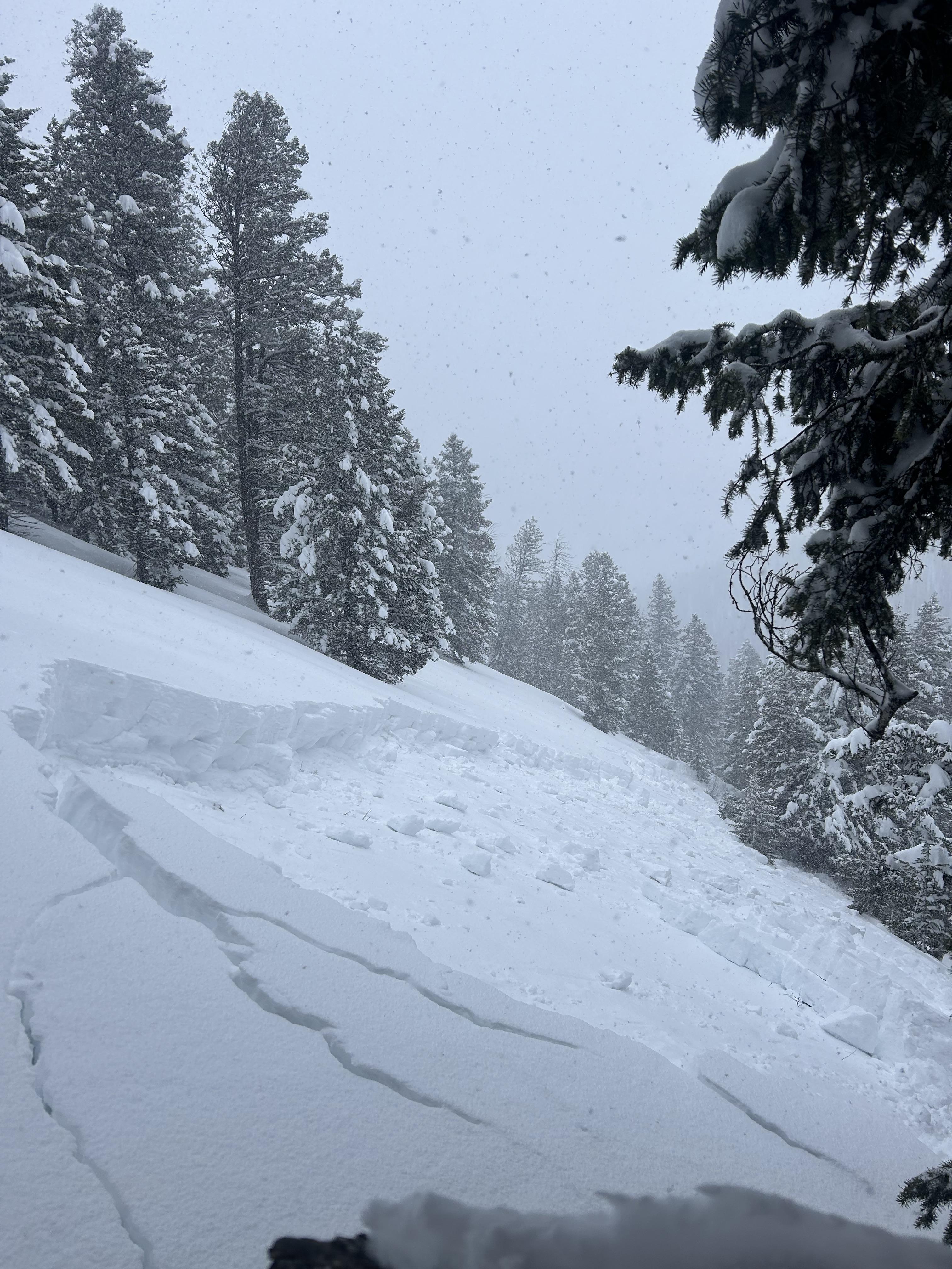
We rode into the Taylor Fork area on a beautiful, sunny day. We saw three large avalanches that likely broke approximately one week ago in Sunlight Basin, Sage Basin, and at the head of Sage Creek. Sage Basin and Sunlight Basin were cornice-triggered hard slabs that broke 2-4 feet deep on wind-loaded slopes. The avalanche in Sage Basin broke several mature trees.

The slope that avalanched at the head of Sage Creek was a heavily wind-loaded 35-40 degree slope. It failed without a cornice trigger (as no overhanging cornices were above). We investigated this slide in greater depth. It failed on a layer of faceted snow 2-4' deep. In our stability test, we got an ECTP22 on the failure layer. Riders and skiers are less likely to trigger these large avalanches after four days without snow, but we don't trust these slopes. Every time it snows a little bit, we see large avalanches. They remain possible to trigger now. Choosing conservative terrain is the best management strategy - simple slopes with minimal wind-loading and fewer consequences or slopes less than 30 degrees in steepness. With more snow in the forecast, the danger will likely rise again this week. 

Full Snow Observation Report
E. Schreier
Out of Advisory Area
Emigrant Peak
Point release stepped down to deep slab on Emigrant
Snow Obsdrvation includes images

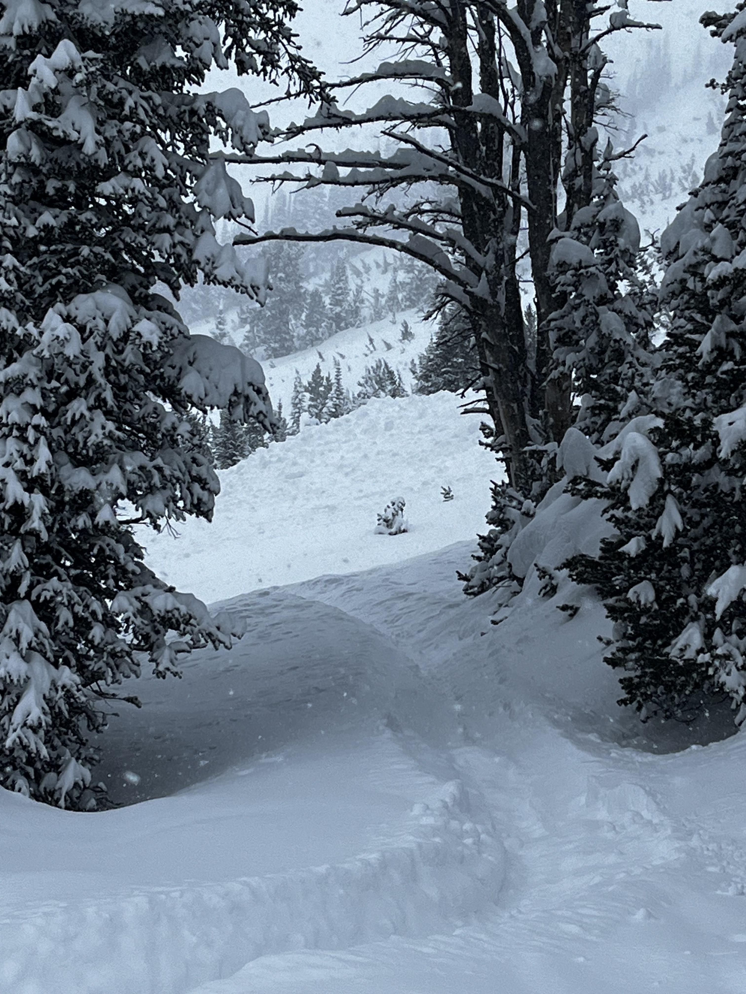
Yesterday we toured up into Emigrant gulch. At around 2pm we observed a small point release on the East face of Emigrant, either a small cornice break or wet loose, that ran for about 200ft before stepping down to a deep slab that appeared to be about 3ft deep and 100ft across. 

Full Snow Observation Report
Z. Peterson
Cooke City
Scotch Bonnet
More large avalanches near Cooke
Snow Obsdrvation includes images

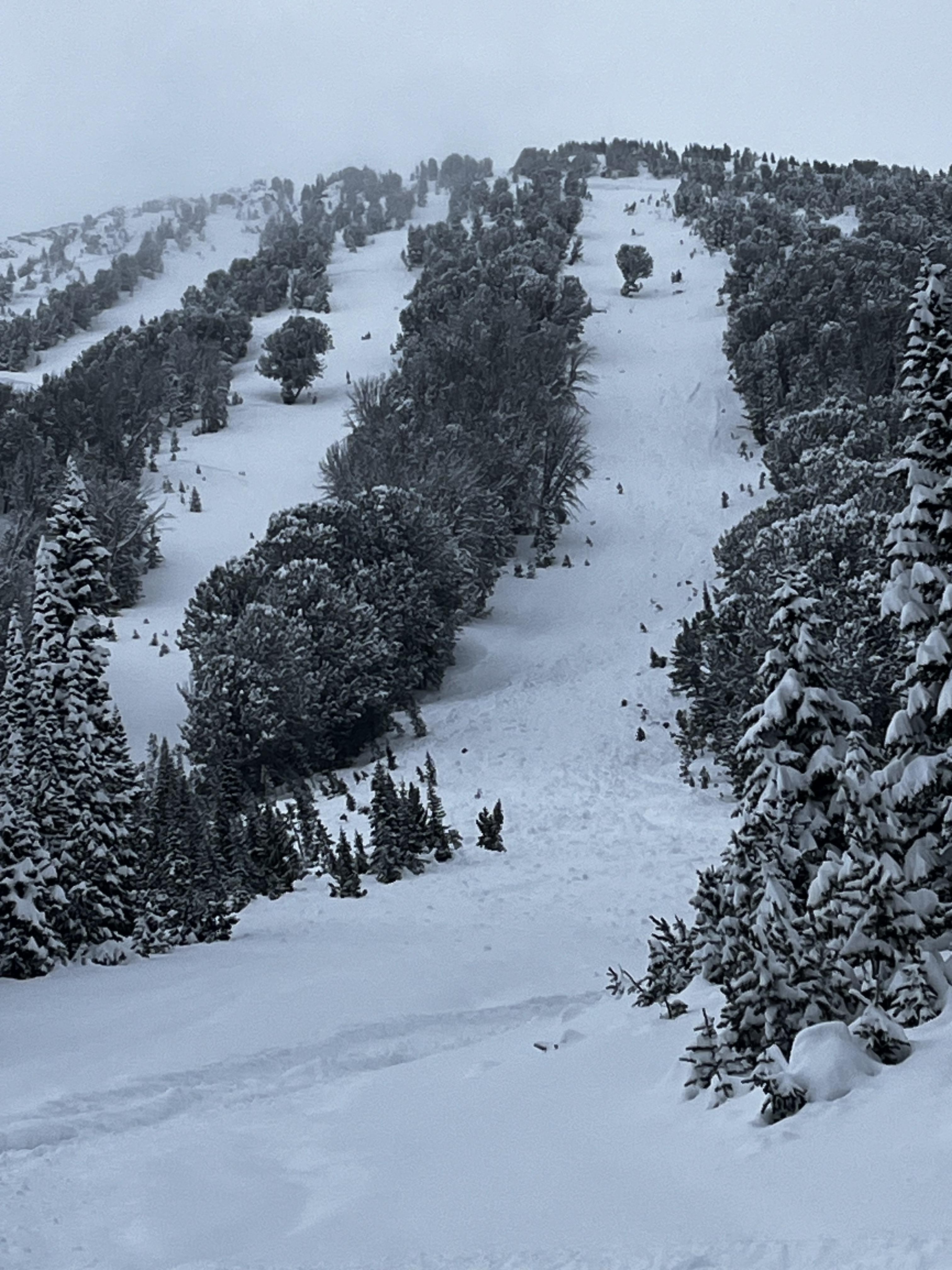
Attached are a few photos of old deep slab avalanches north of town. 

The first photo is a south face north of round lake above 10,000’. The crown was mostly filled in but the deepest exposed part was 2-3’ deep. 

The second is the south face of scotch bonnet. Hard to tell the depth of the crown but it’s very visible from the lulu road, so probably pretty deep. 

...Saw lots of recent small soft avalanches that broke pretty (8-12”) shallow in the new snow for last week, both in wind drifted areas and non wind loaded slopes. 

Full Snow Observation Report
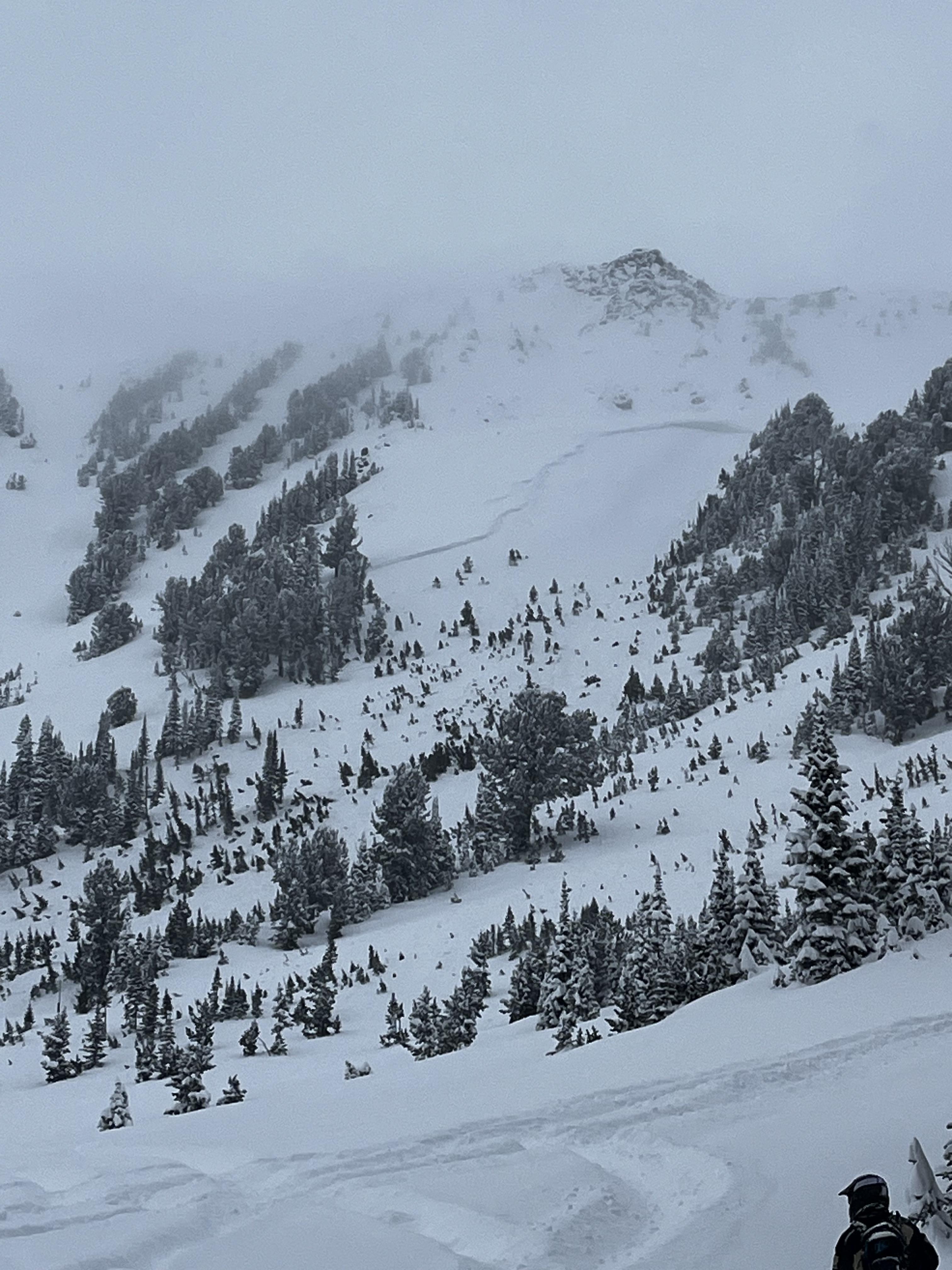
A. Marienthal
Bridger Range
Texas Meadow
Texas Meadow snow profiles
Snow Obsdrvation includes images

Dug two pits on Texas Meadow north of Bridger Bowl. Generally good stability. Main concern is recent snow which appeared well bonded in pits. Deeper weak layers were stubborn to non-reactive, but a few deeper layers exist enough to create a deep slab concern if there is more loading, or when things start to melt...

Recent avalanche activity along the range (from Bridger Peak to The Throne) was confined to loose snow avalanches involving the most recent storm snow. A few natural, and many skier triggered which were large and probably occurred a day or two ago after 8-11" of heavy snow fell. There was minimal recent wet snow activity. Slopes that face the sun had a 3 cm crust which started to get damp this afternoon, but cooled off before it became weak enough to create any wet snow hazard.

Shady slopes stayed dry, and there was evidence of near surface faceting on shady slopes, and a thin dry layer of facets formed above the crust on slopes facing the sun.

Full Snow Observation Report
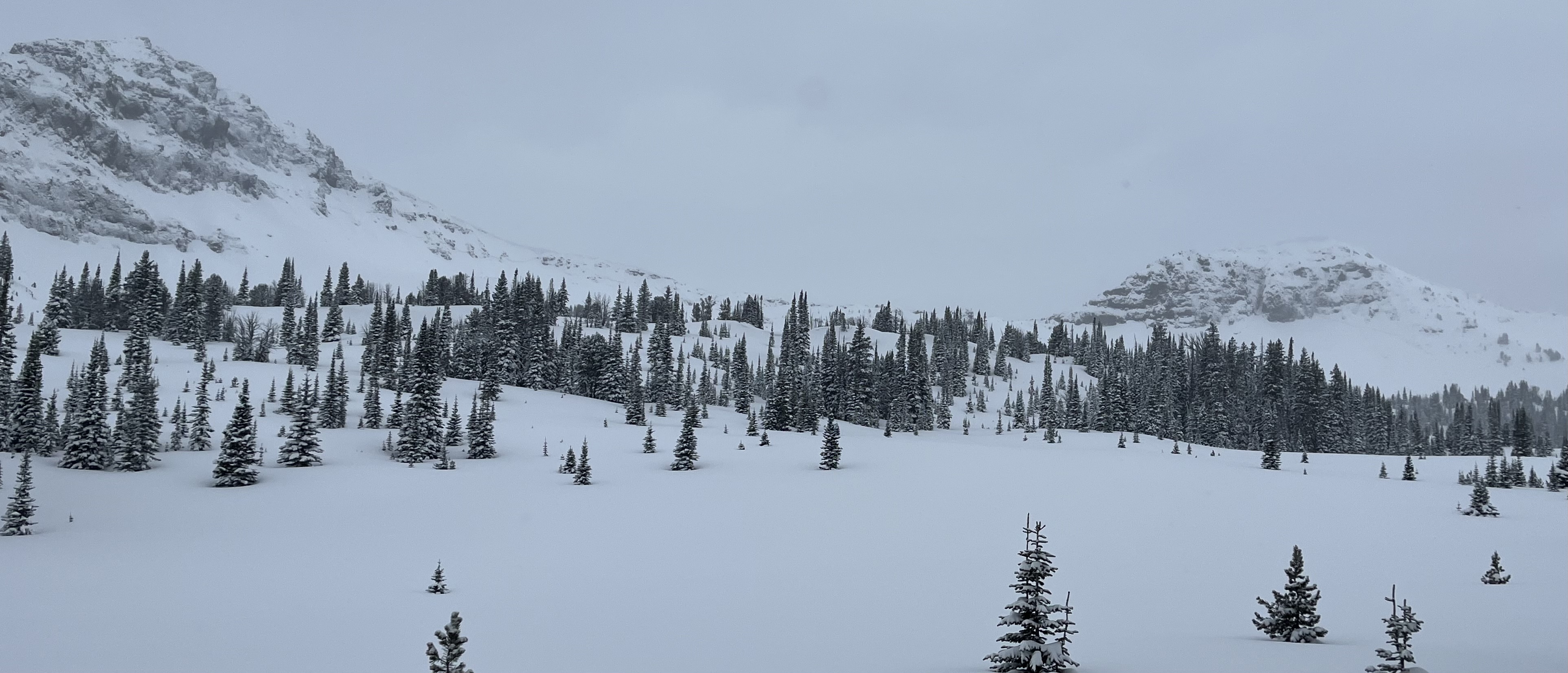
K. Gordon
Southern Gallatin
Electric Peak
Avalanche on Beettie Creek Approach To Electric Pk
Snow Obsdrvation includes images

Slab avalanche on NE facing slope at 7,500 feet - slid to the ground.   

Full Snow Observation Report