Snow Observations List
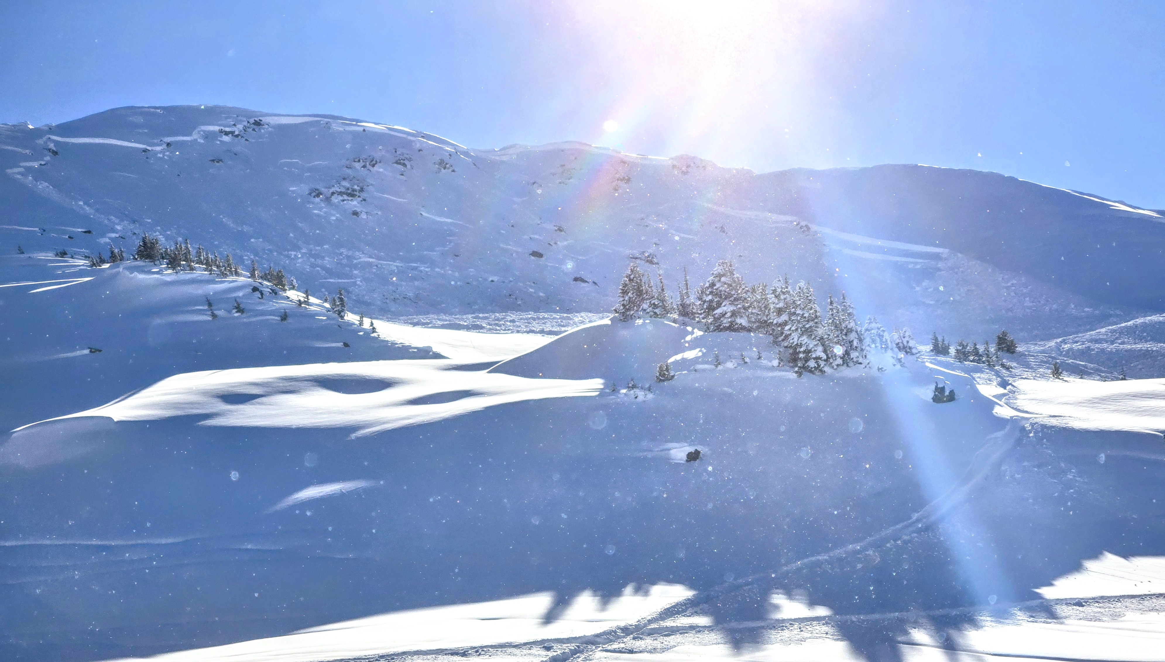
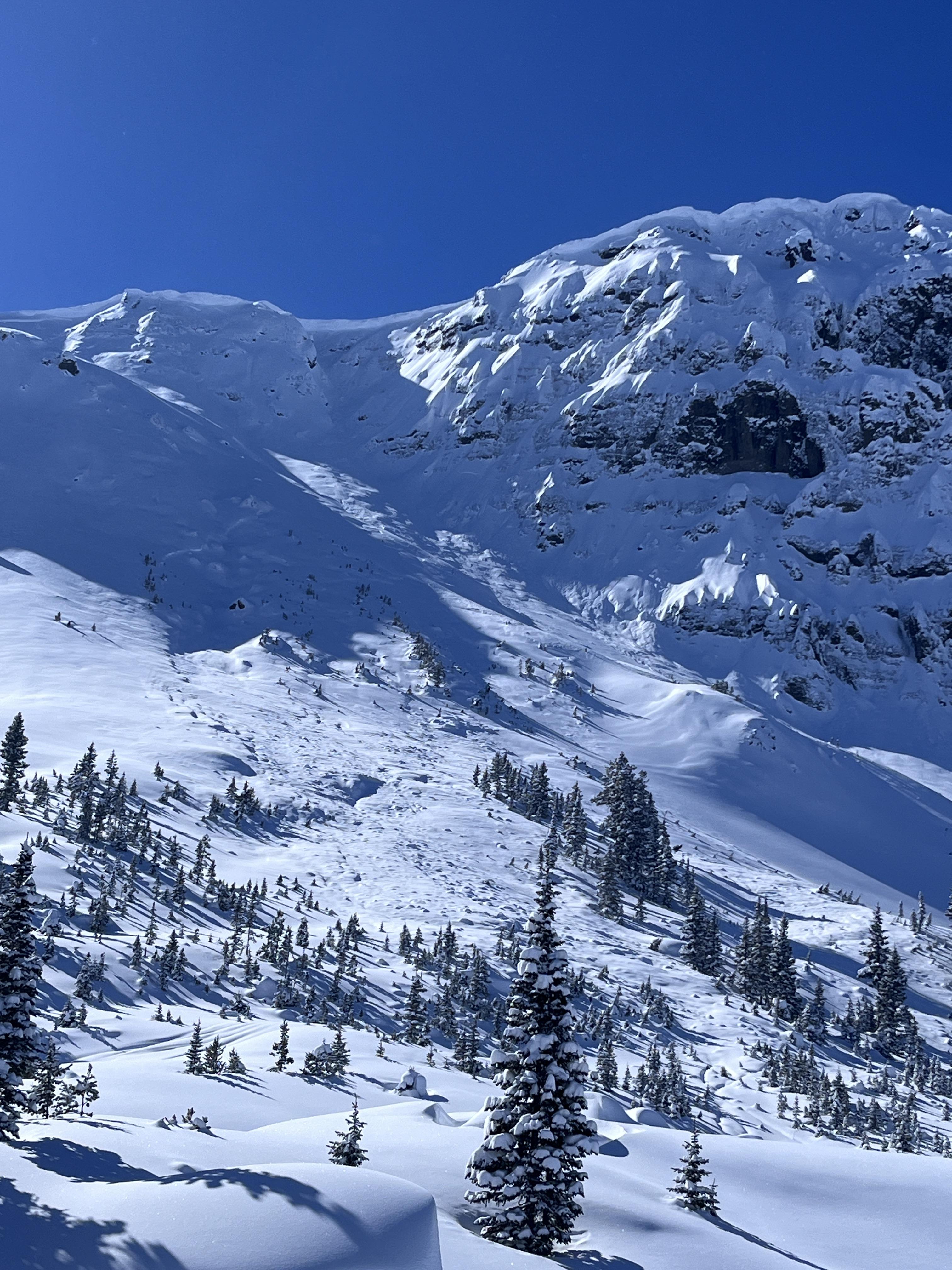
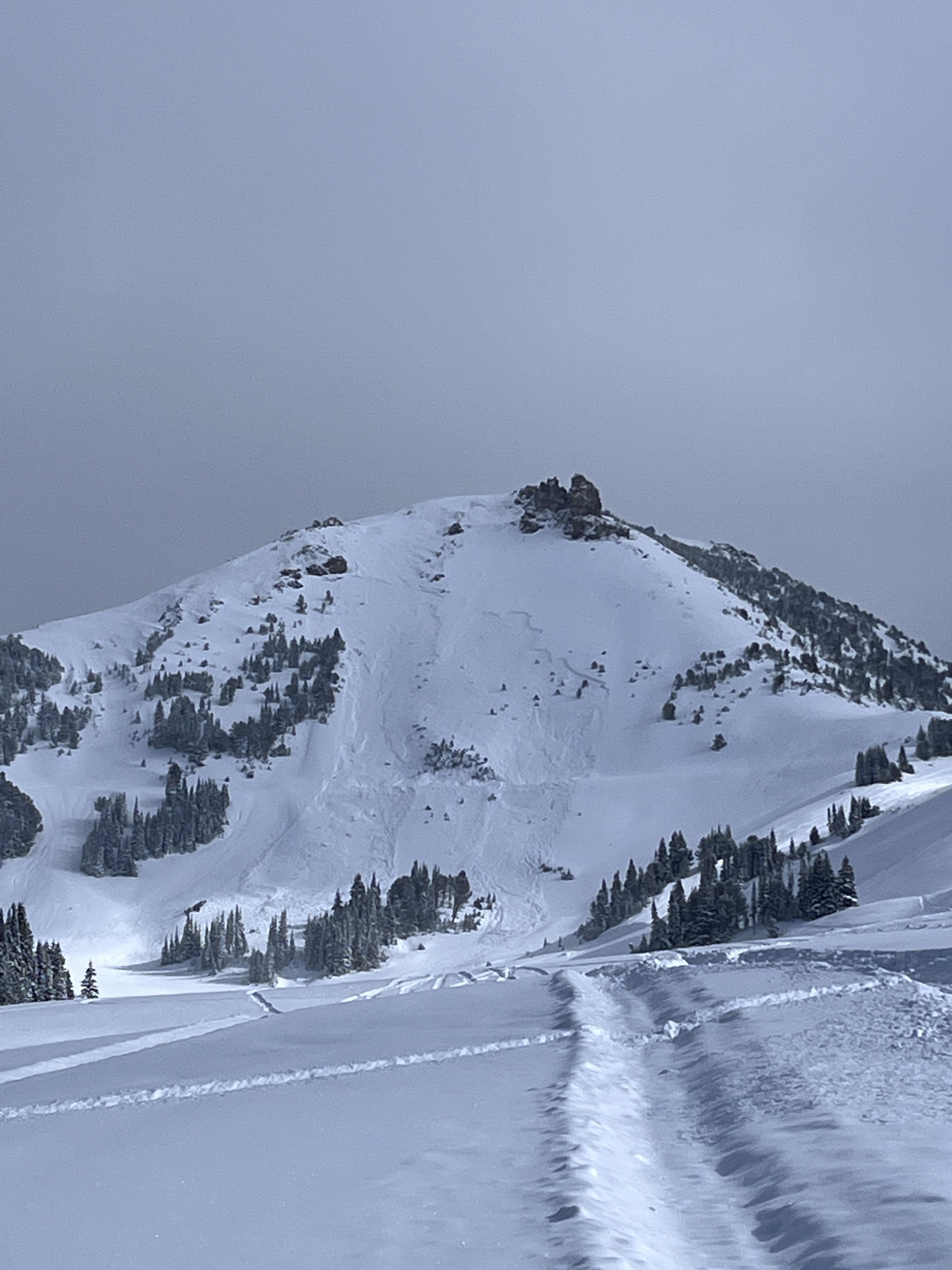
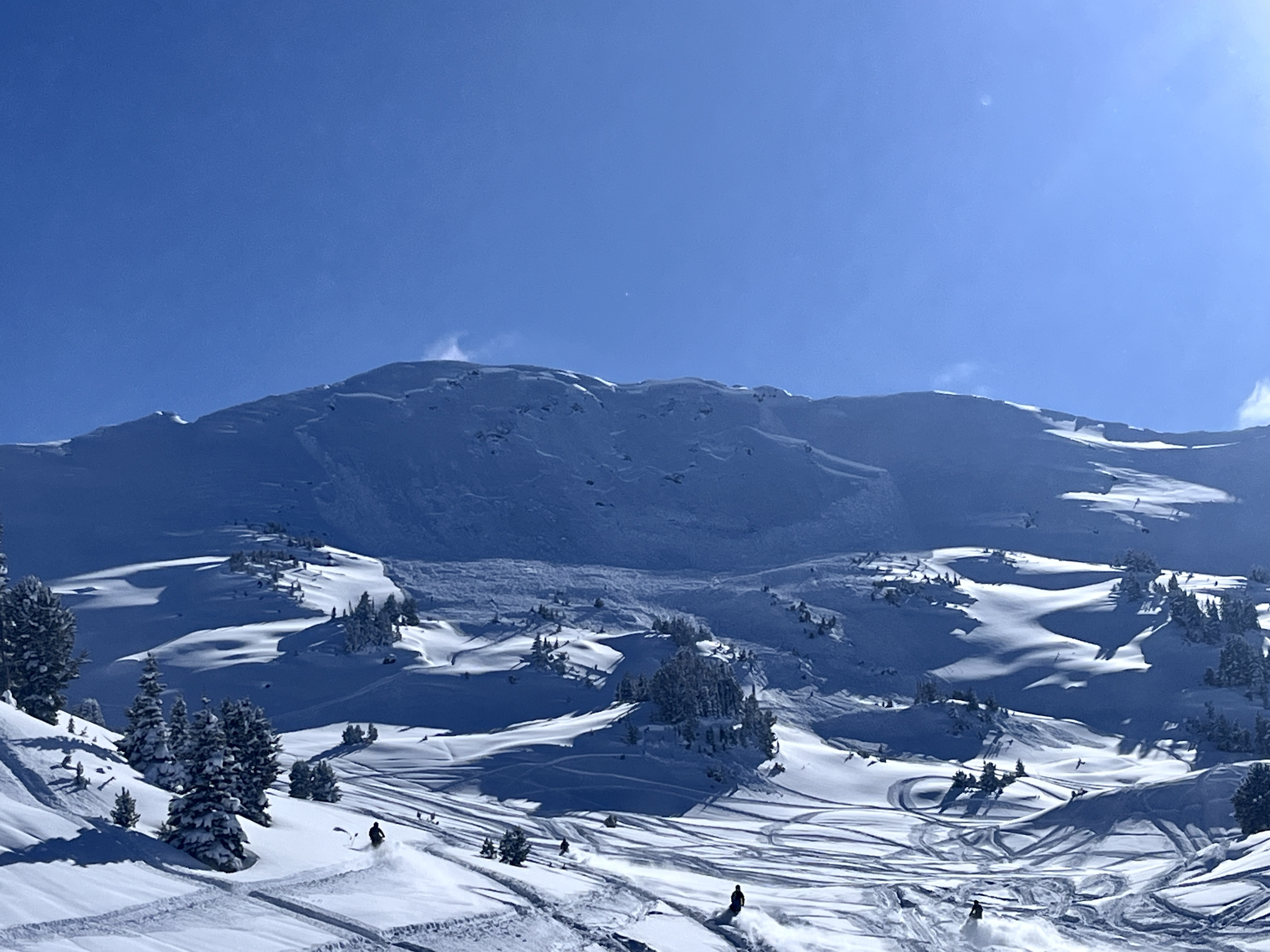
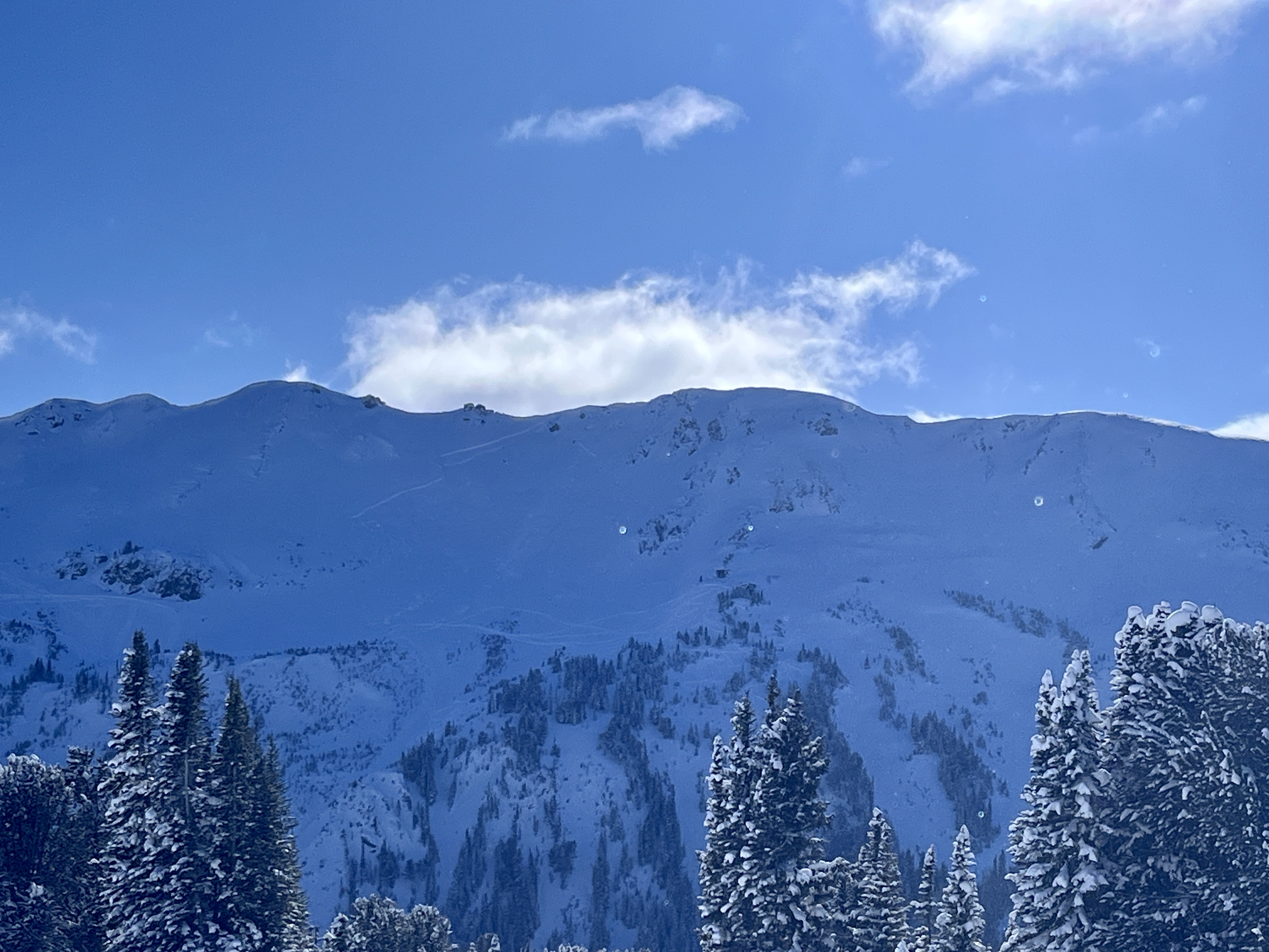
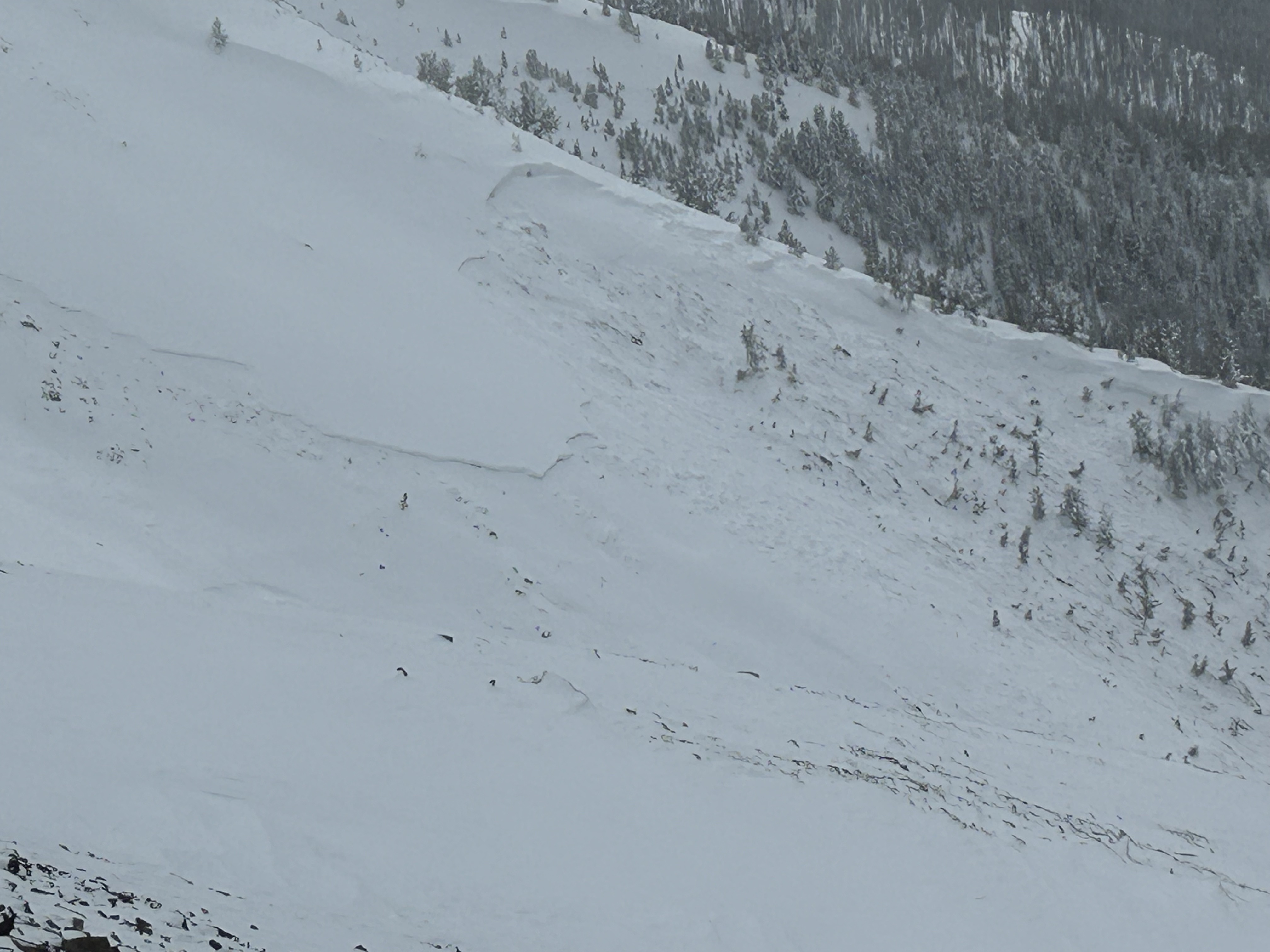
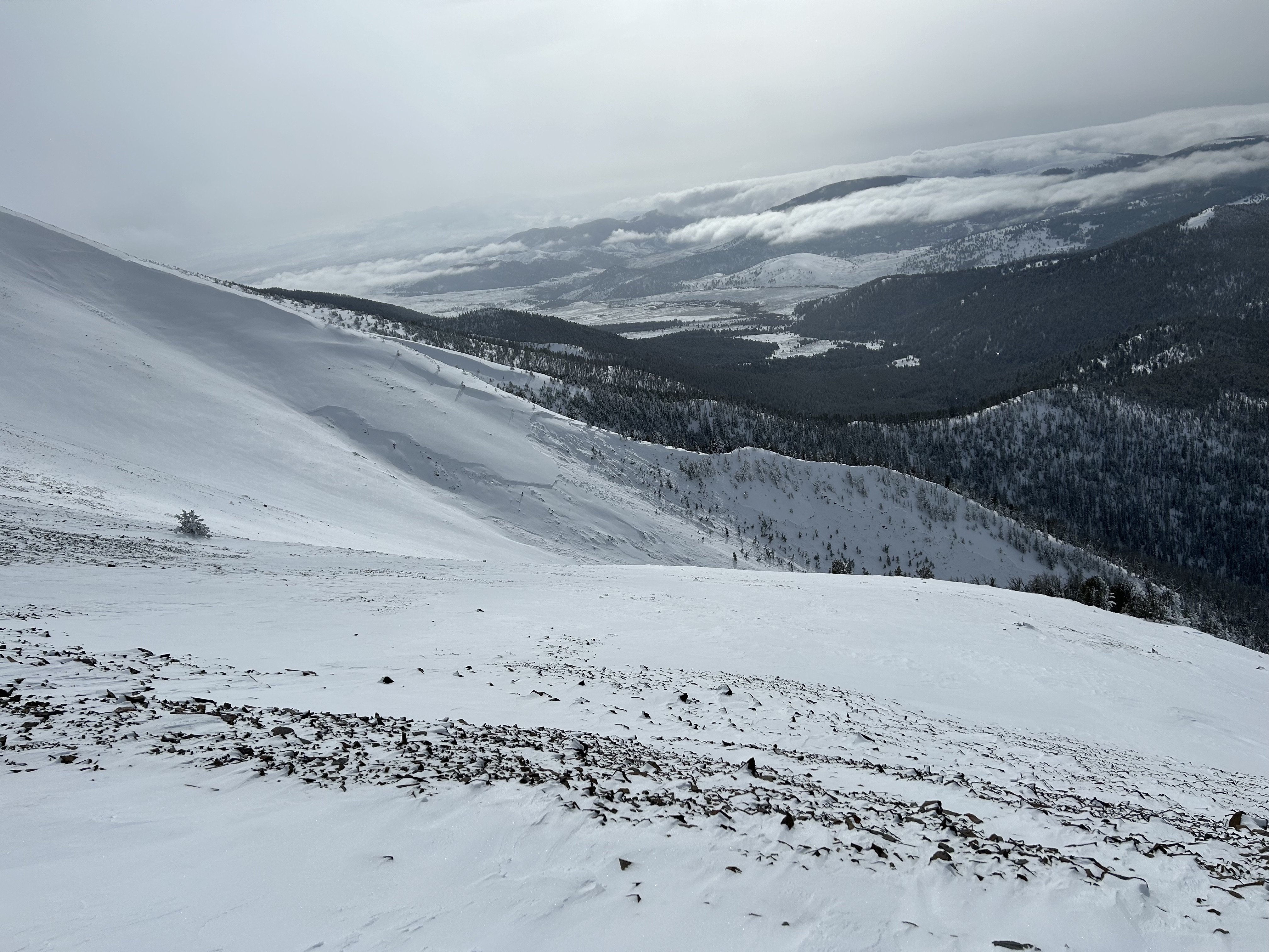
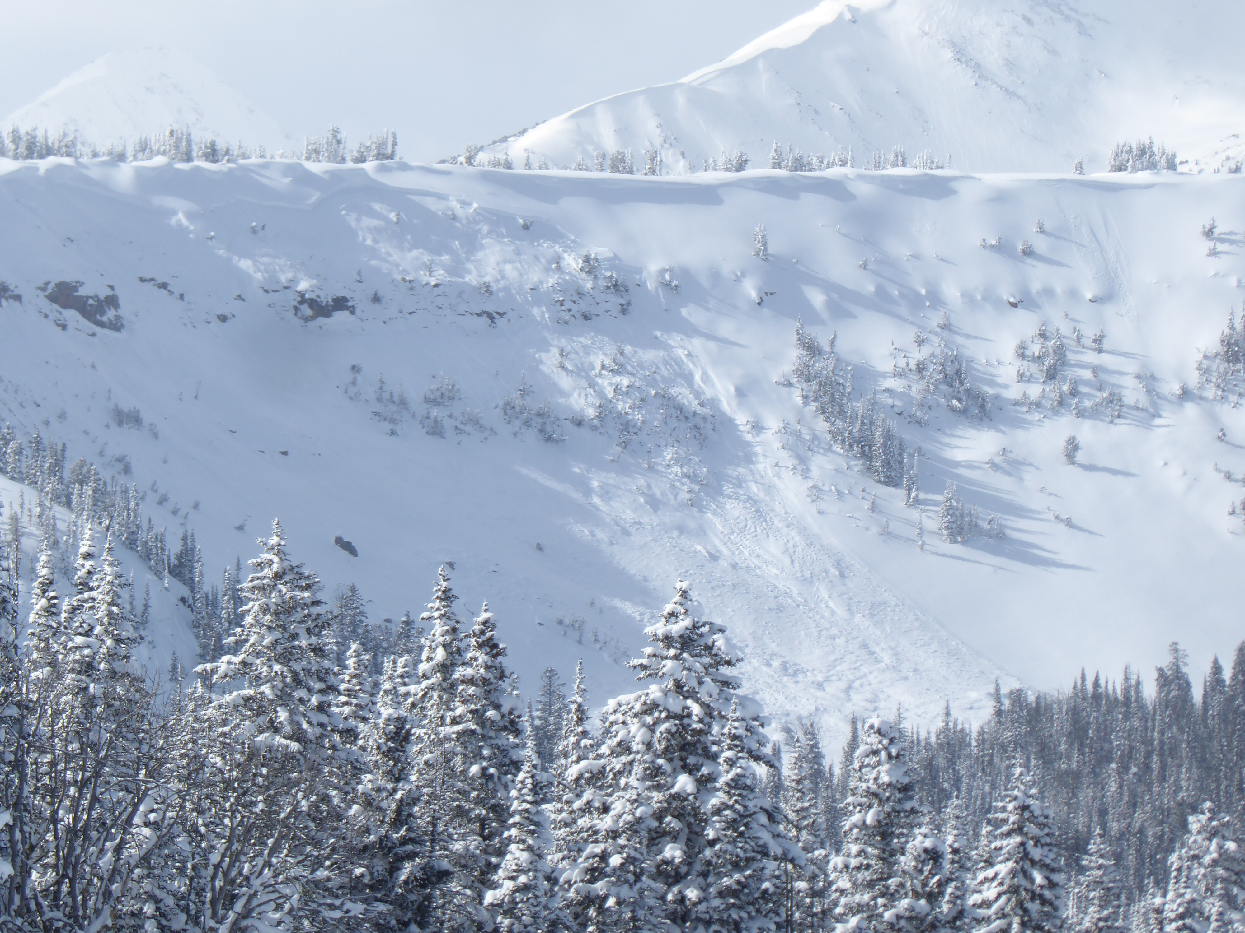
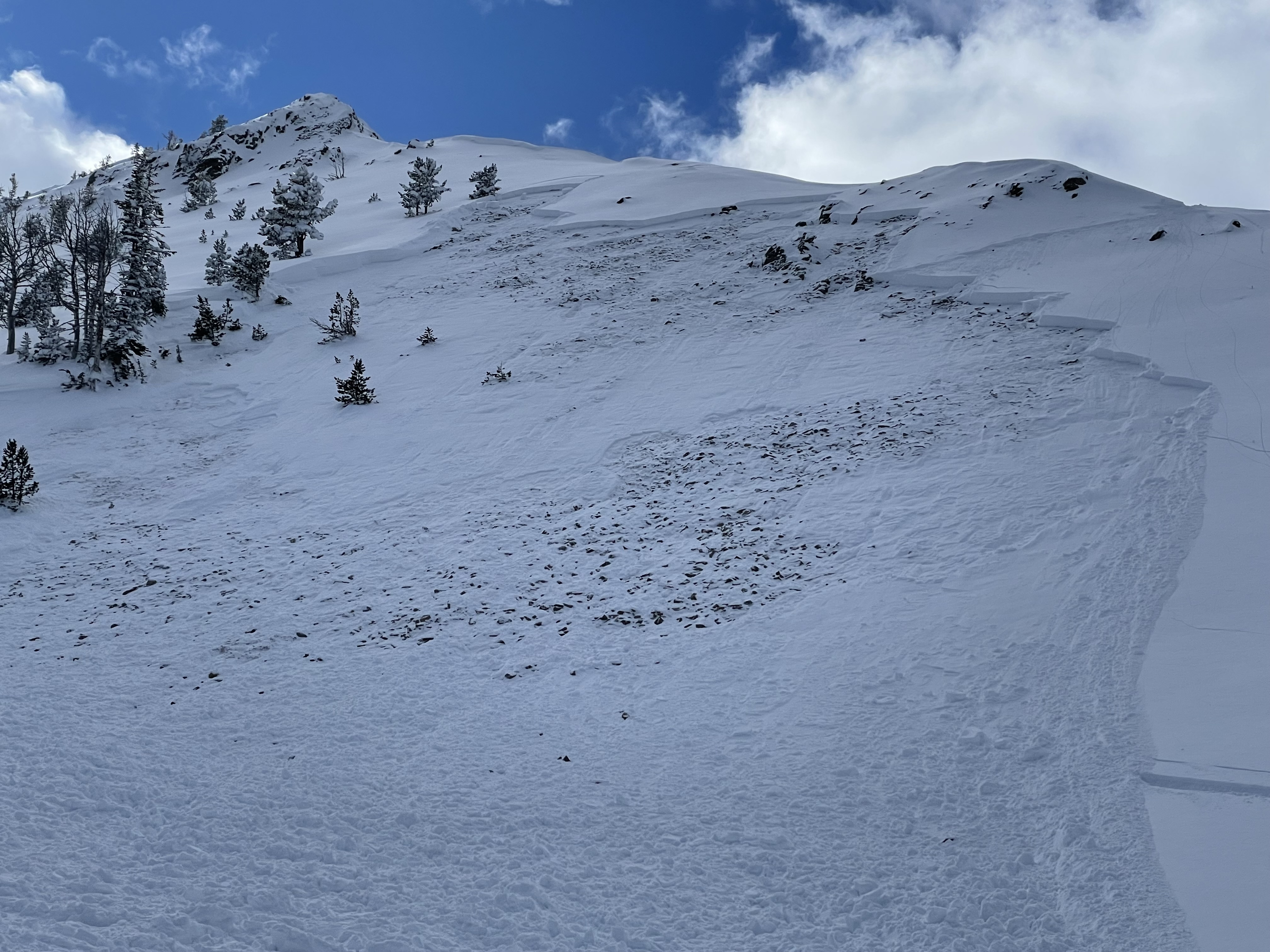
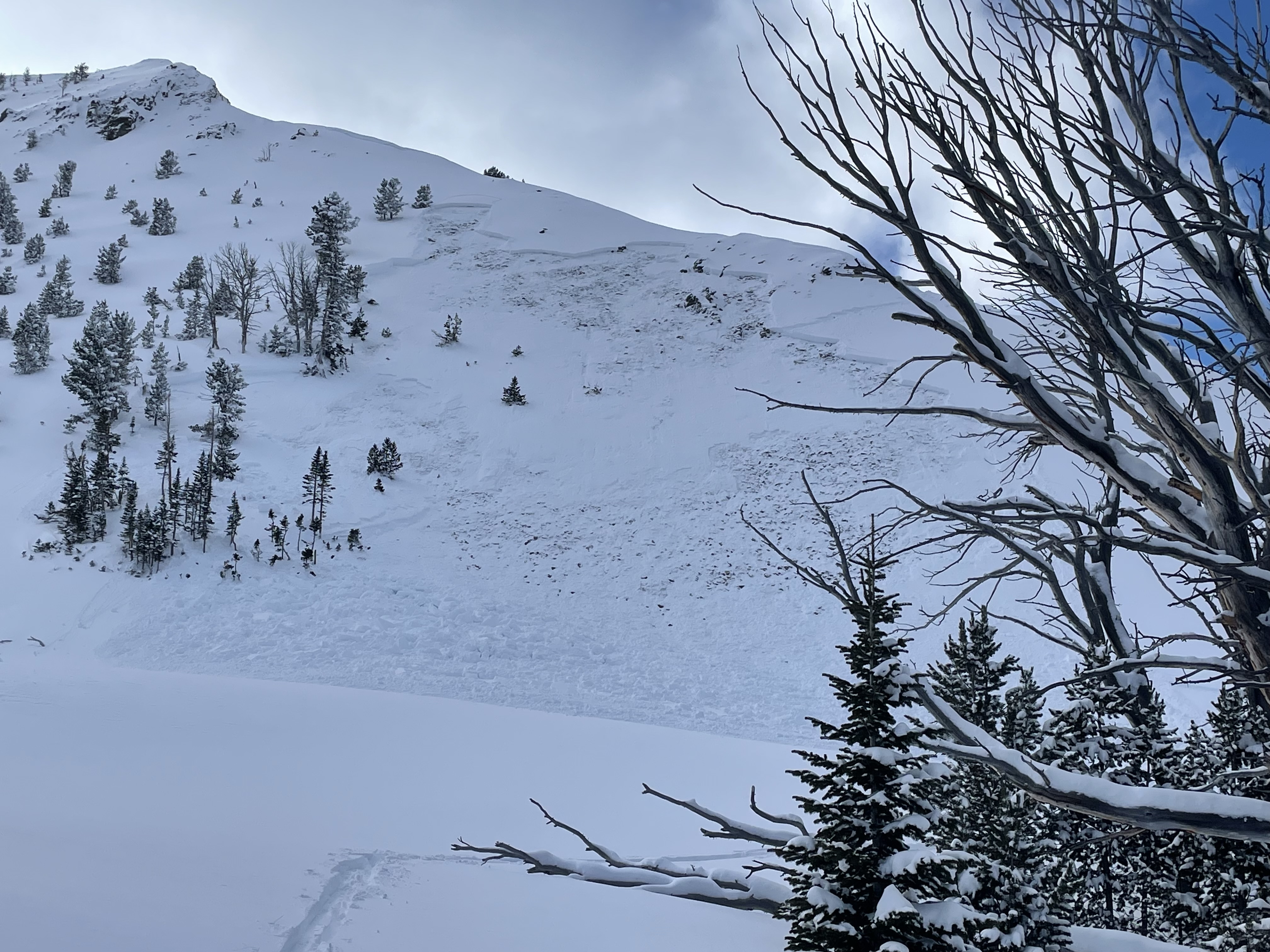
From instagram: "Just getting to the ridge by prayer flags in Beehive basin. 100 maybe 200 yards wide. Cracked all the way around the corner almost to a couple old tracks. Seemed to be a natural from last night or this morning.
We saw another big natural avalanche further up the ridge into middle that was a few days old. Propagated across multiple gullies. Crown was 2-3 ft."
Full Snow Observation Report
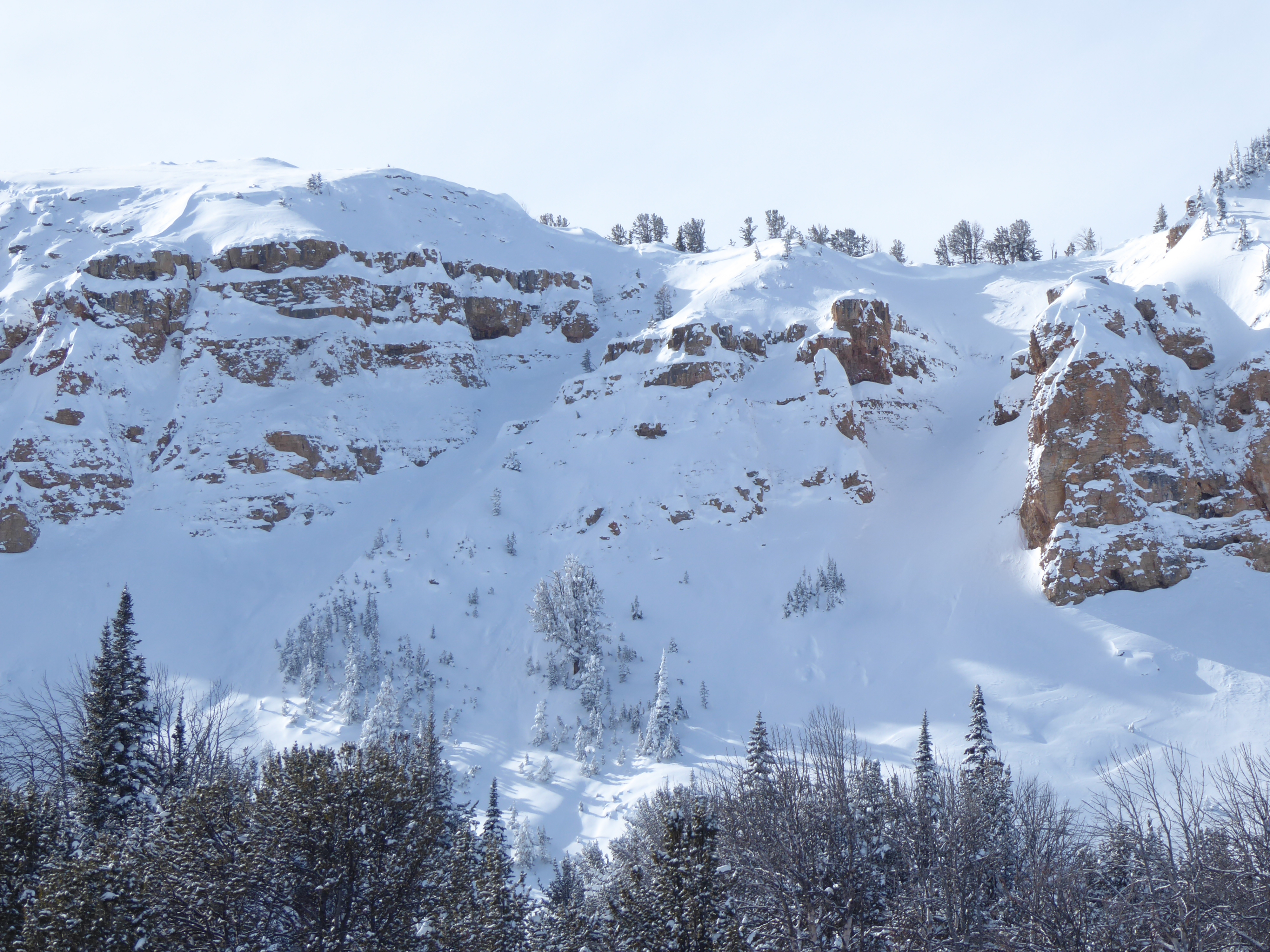
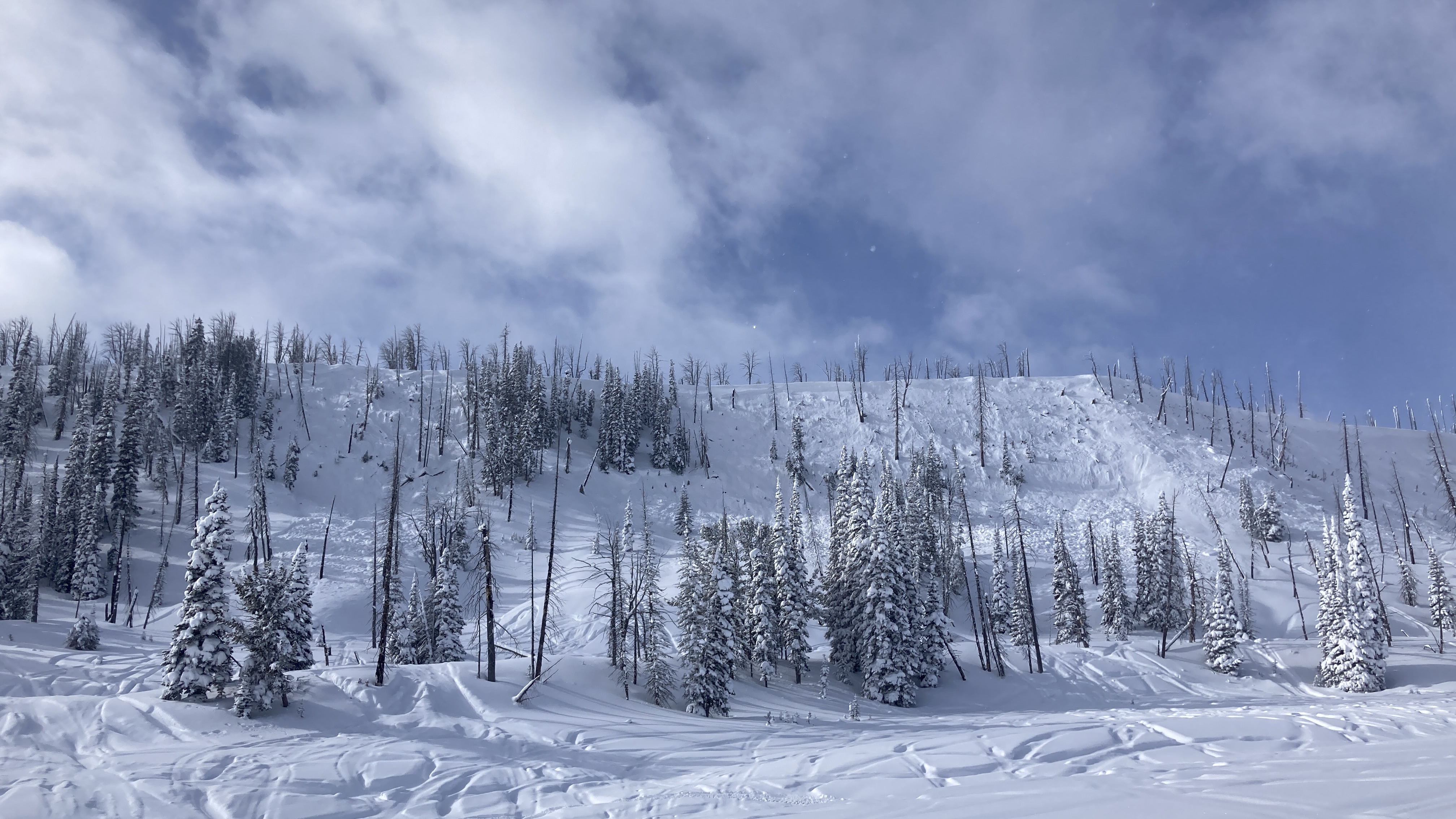
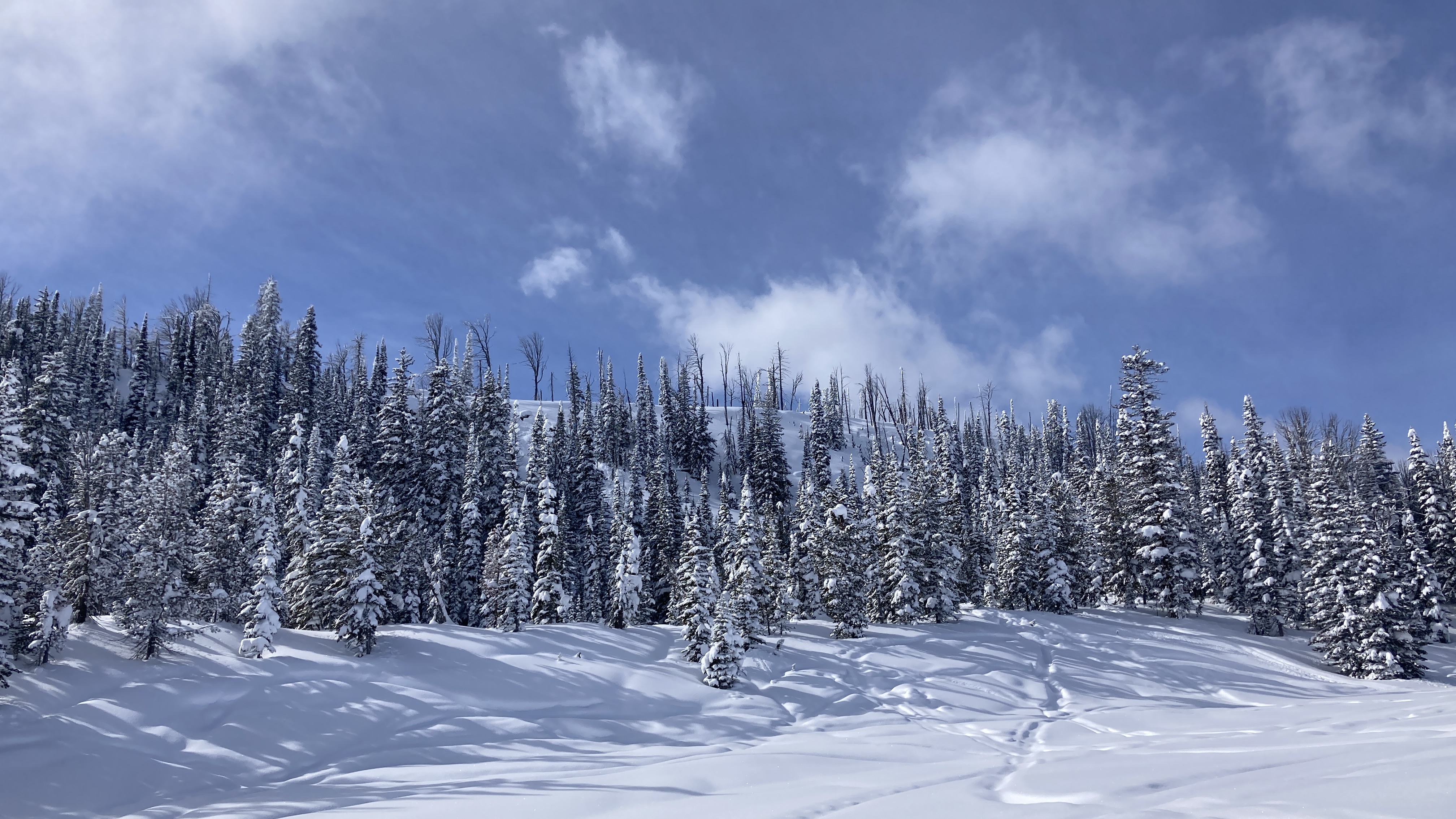
We rode up Denny Creek below Lionhead Ridge, then around to the north, through Watkins Creek and into the top of Targhee Creek. We saw a lot of old and recent avalanches that happened at various times over the last week, and in a wide variety of terrain. On lower elevation, generally non-wind-loaded terrain in the trees we saw at least 4 avalanches that were 2'+ deep and 100'+ wide. Near ridgelines there were many avalanches, harder slabs, 2'+ deep breaking hundreds of feet wide.
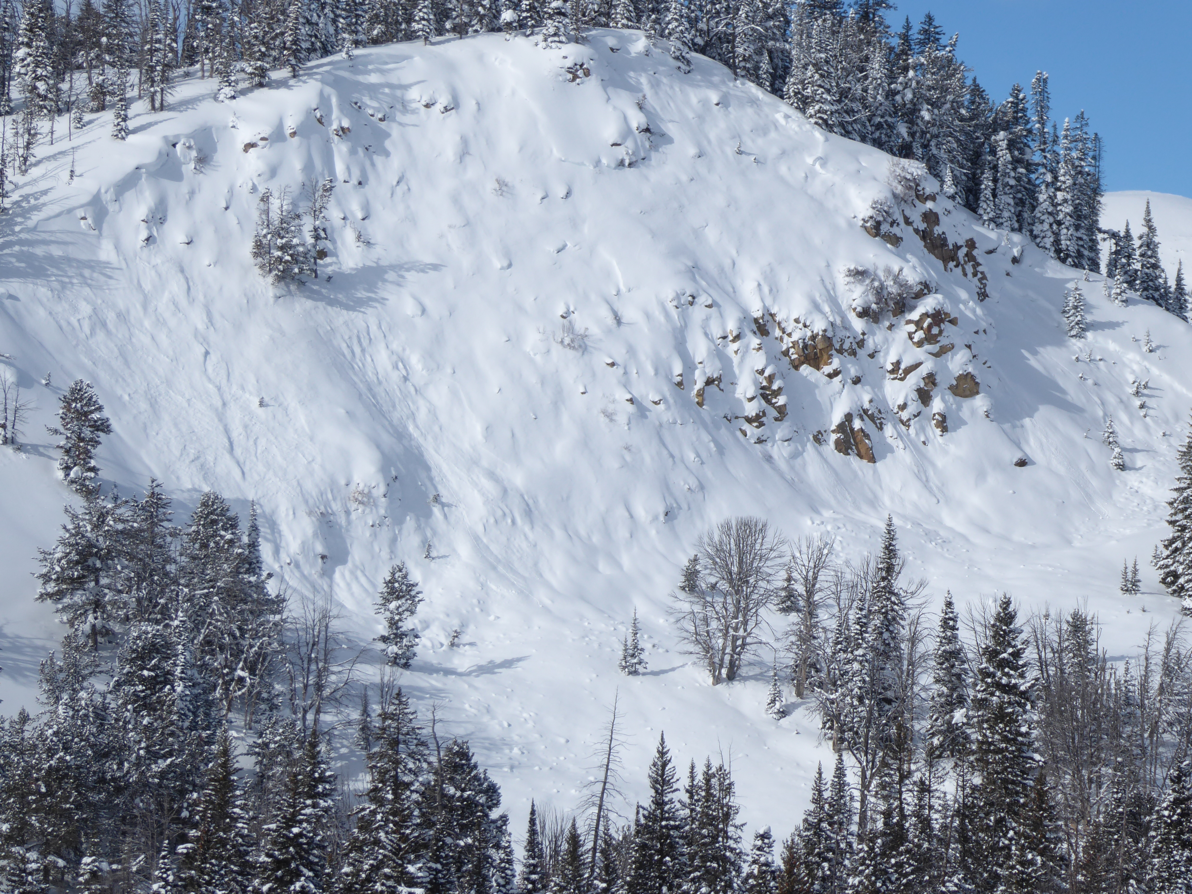
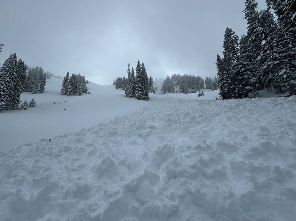
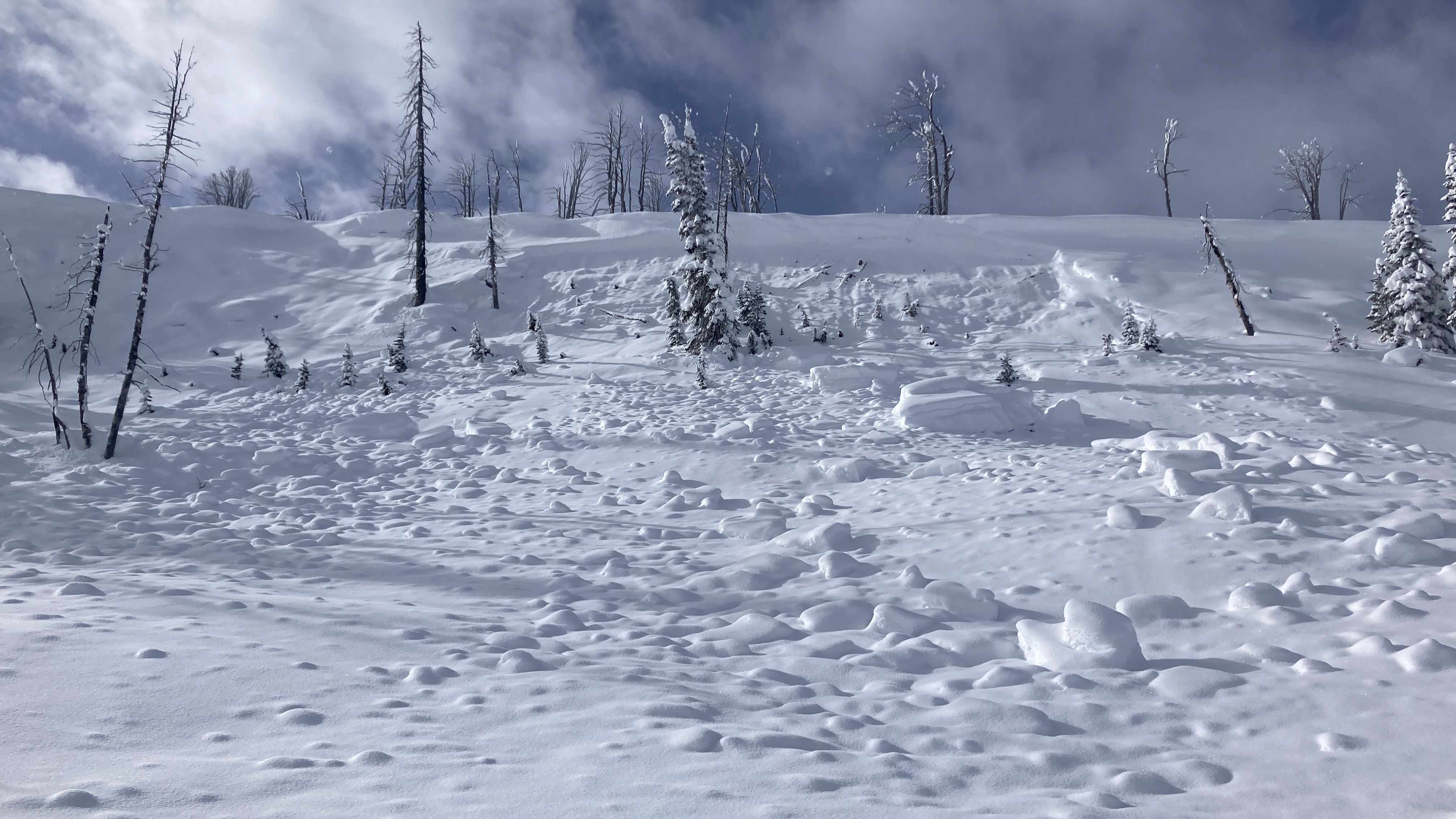
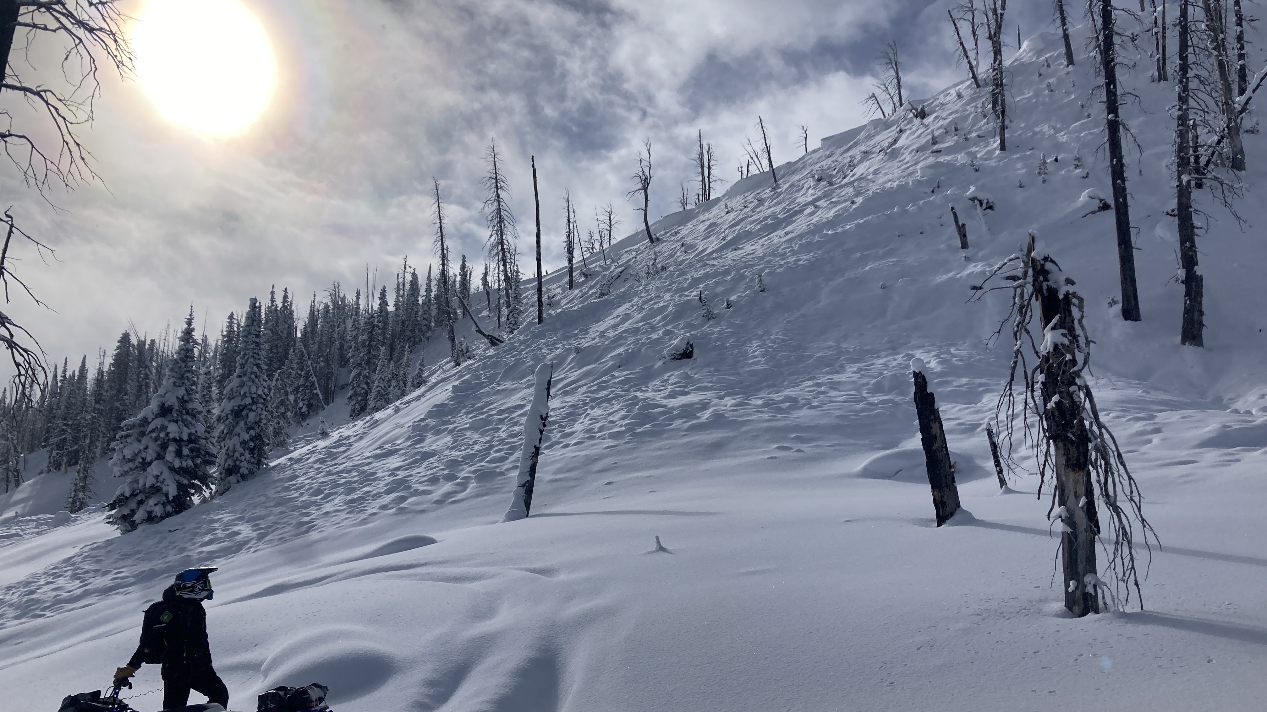
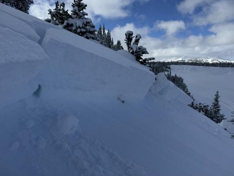
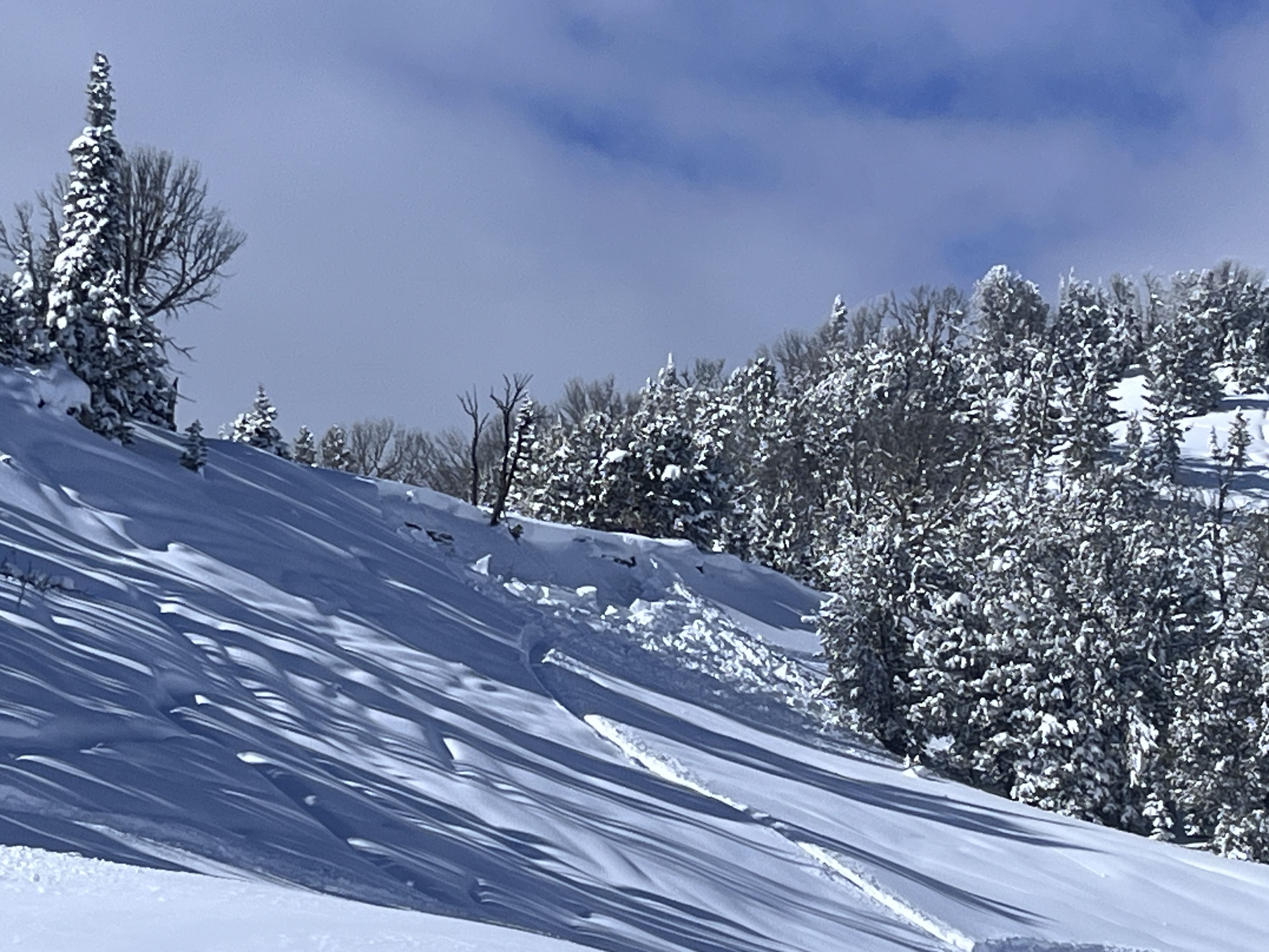
On our way out we saw a fresh avalanche in Watkins Creek that we think was triggered remotely during the day by a group that was riding in a flat meadow above, where we saw their tracks at least 150 feet away (photo). This slide was 2-3' deep and 100-150' feet wide, breaking on old sugary snow. HS-R3/4-D2-O. We rode along the flat terrain above the avalanche and could feel our sled tracks punch through the supportable slab into weak snow at the bottom of the snowpack.
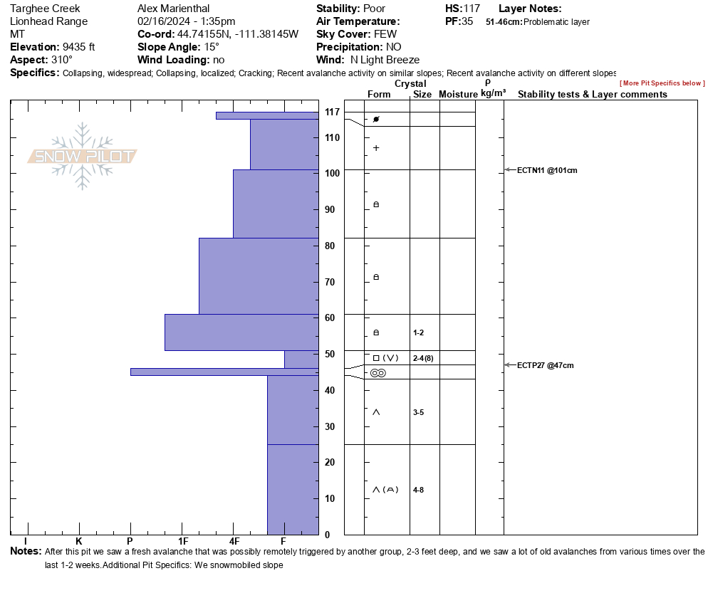
We felt a couple collapses while sitting on our sleds, and saw a couple long shooting cracks while riding. We dug a snowpit in Targhee creek on a northwest facing slope at 9,435'. We had an ECTP27 below a 2.5' deep slab, sitting on 1.5' of weak sugary snow.
Skies were mostly sunny with a light breeze out of the north.
Full Snow Observation ReportRecent high dangers and warnings were appropriate given the extent of activity. Danger was a solid considerable+ today, and given the large fresh avalanche and collapses, considerable will be appropriate for at least the weekend.
From email: "Was in round lake was visiting with a guy in the warm up shack. He said he caused a decent size avalanche on the sheep mountain side.
It was roughly 100 feet wide, he was hit by the avalanche but didn’t get buried."
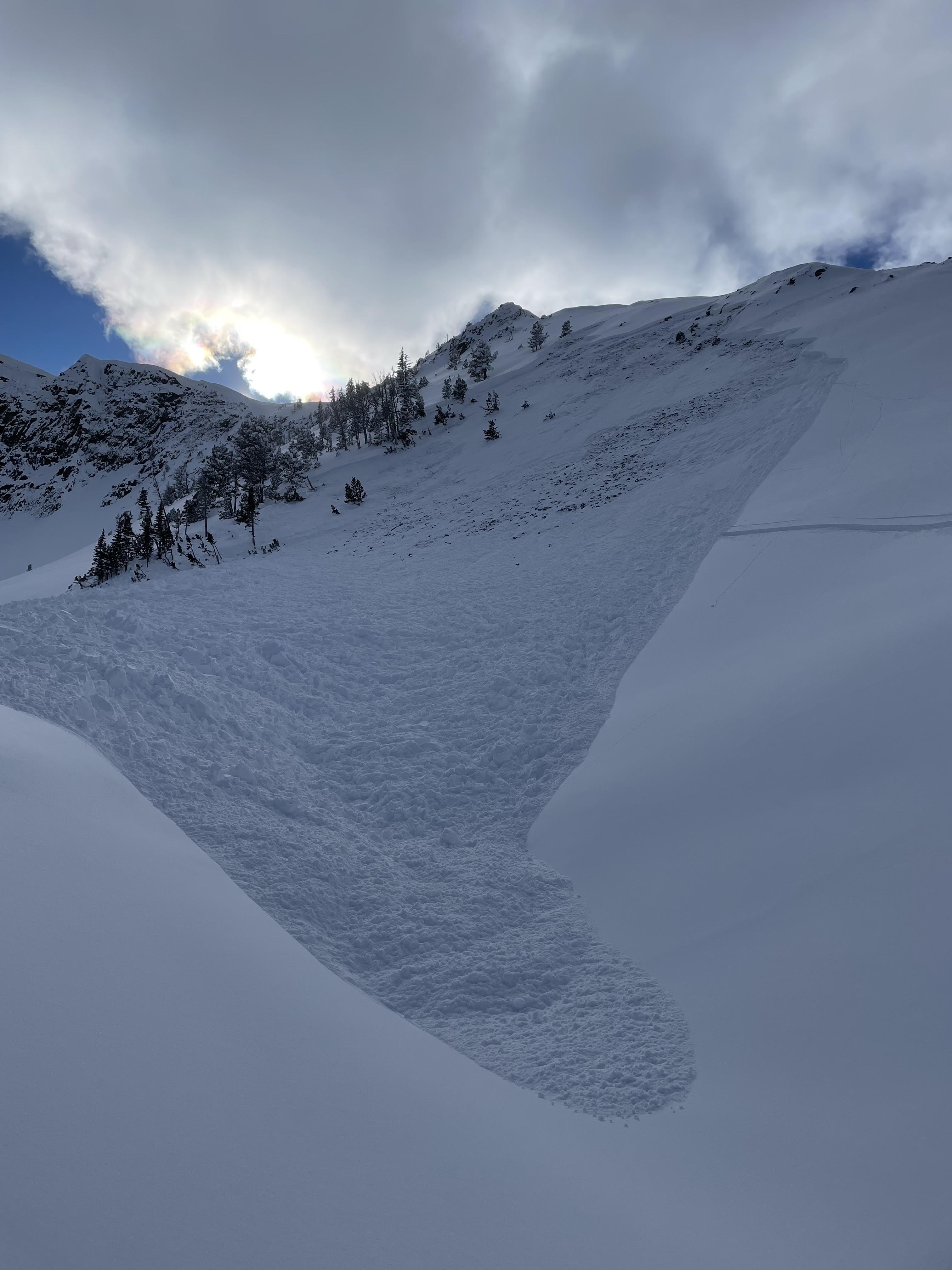
Full Snow Observation ReportLarge slide. Snowmobile triggered. North side Scotch Bonnet Mtn.
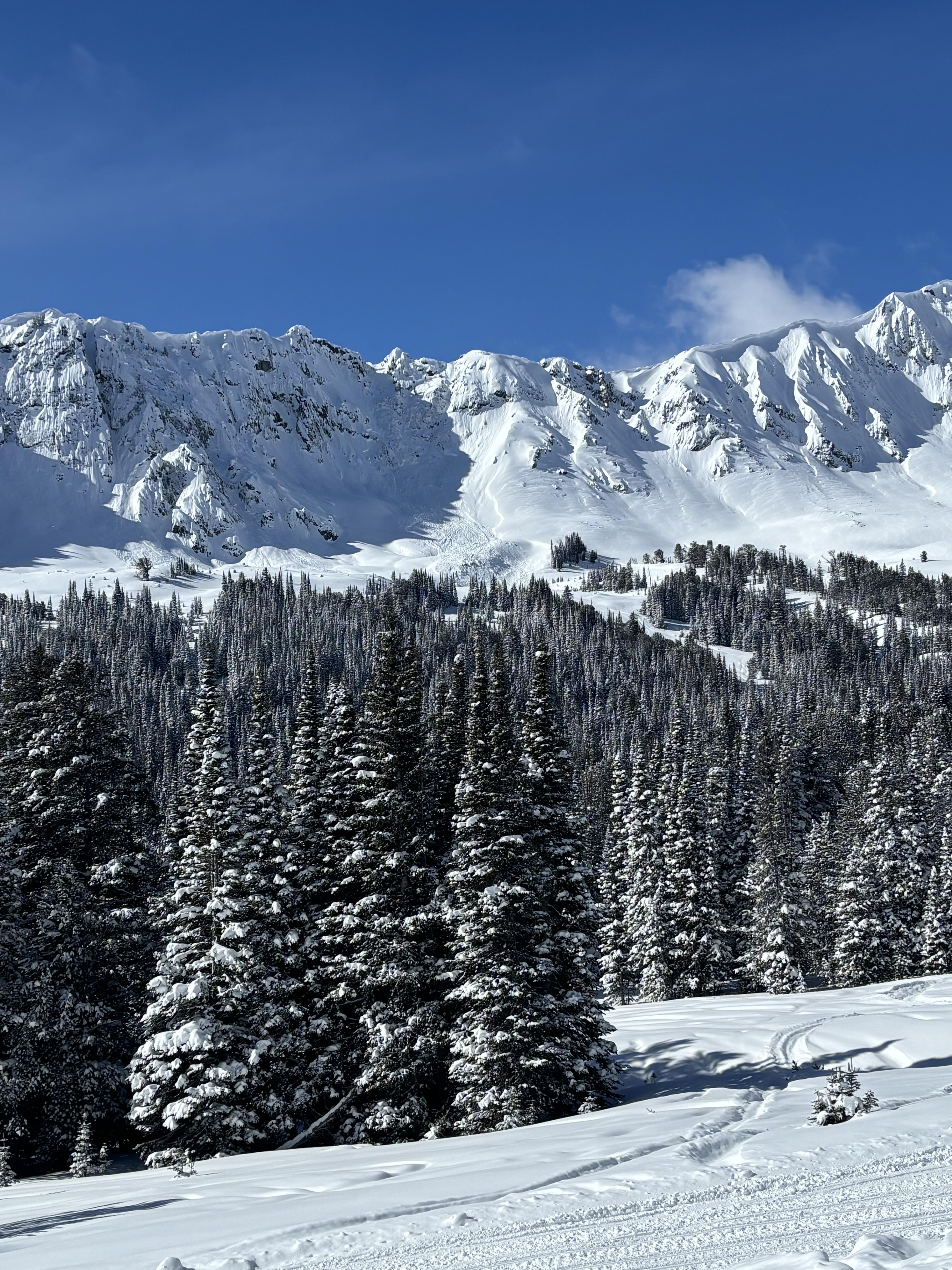
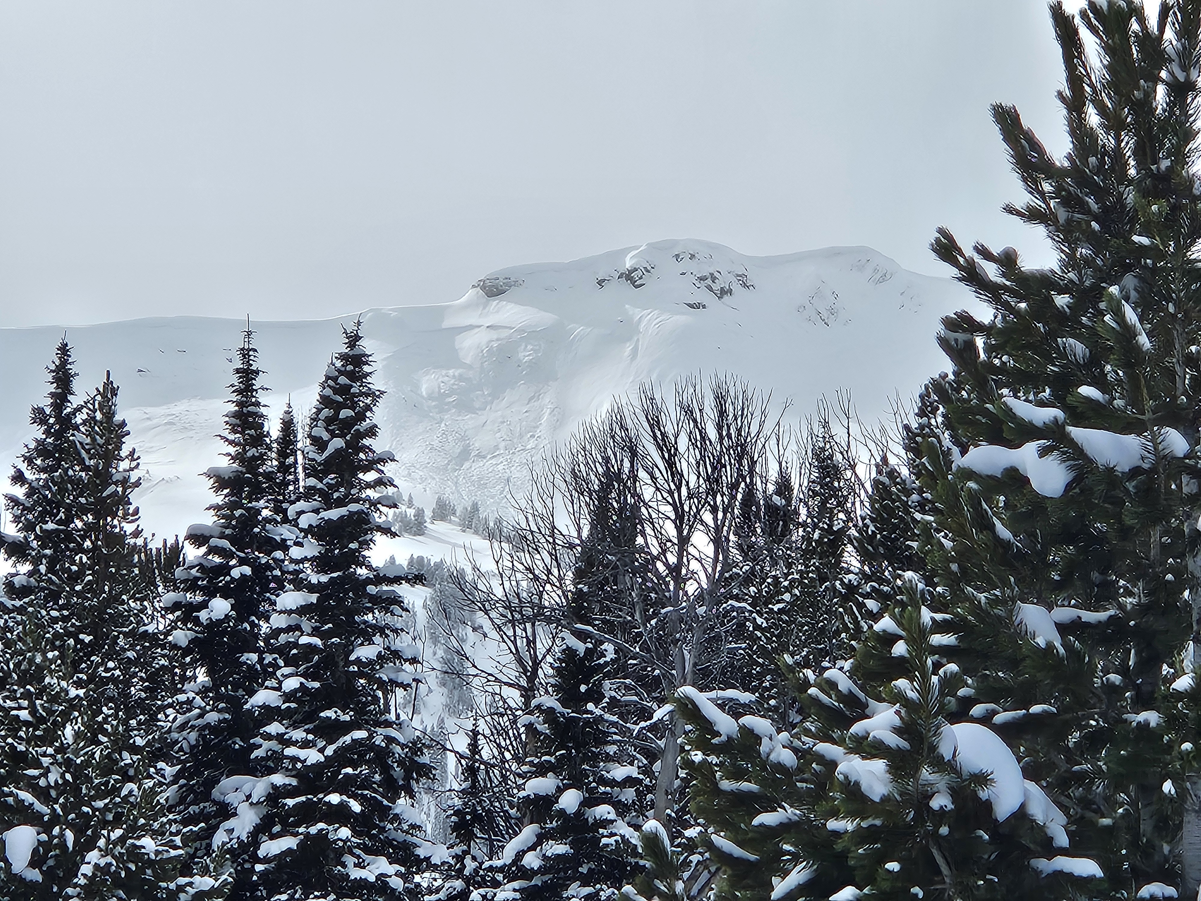
Full Snow Observation ReportMultiple avalanches north of Cooke City today. On the north side of Chimney Rock a large natural avalanche happened either this morning or late last night, 400' wide and 1-2' deep. I saw several other natural avalanches on the east side of Wolverine Peak and Miller Ridge, the north side of Bull of the Woods Pass and Miller Mountain. These avalanches happened sometime just before or near the beginning of this recent storm.
Most notably I saw a very large rider-triggered avalanche on Scotch Bonnet that was triggered today, 800' wide, 3-4' deep. Skiers nearby confirmed that they saw riders below or on the slope, however, they did not see the avalanche happen. On the east side of Henderson, I saw another rider-triggered avalanche that happened today, 200' wide, 1-2' deep.
Skiing / skinning on north facing areas above the Brackett Creek area with room many to remember big collapses sounding like distant thunder. One was large enough to shake snow off nearby trees.
Full Snow Observation ReportSaw this avalanche today off miller ridge. Looks to be natural, soft slab
Full Snow Observation ReportBurnt trees just south of Bacon Rind. Elevation approx. 7600, eastern face, 30-35 deg. slope. I stopped skiing near the top of the steep section. Warning my 3 partners not to descend and to traverse to their left (north). When I attempt to also exit to the left there was a very noticeable whomp and settling, a crack appeared across and up slope running 50+ ft. I continued exiting to the north with no further incidents.
Full Snow Observation ReportFrom facebook: "Rode up Portal creek today. Meadows were killer! We had first tracks all the way back to Windy Pass. We triggered 4 avalanches with the farthest one being 300 yards away. The one in the photo was the scariest one. We were playing below the windy pass hillclimb and the chute next to it let go. We had a sledder almost get caught in it, but thankfully everyone was ok. It's scary out there!"
Full Snow Observation ReportObserved cracking and whumping throughout the day. Towards the end of the day one of our riders remote triggered a massive avalanche on the North facing slope to the North of Yellow Mule cabin. The 3-4 ft crown propagated around 600 yards wide and slid on near ground facets to the bottom of the slope below depositing a very large debris pile well into the trees.
No riders were caught and we inspected the debris pile after. Some of the touchiest avalanche conditions we’ve ever been out in. The meadows were riding nice, I would suggest sticking to them and well away from any steep slopes.
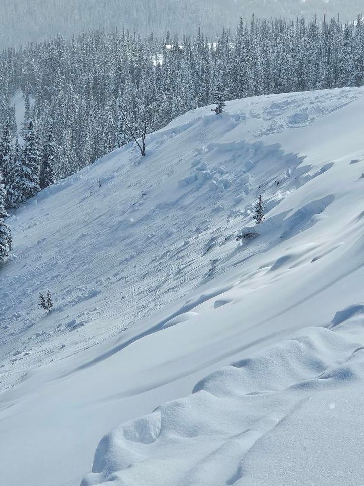
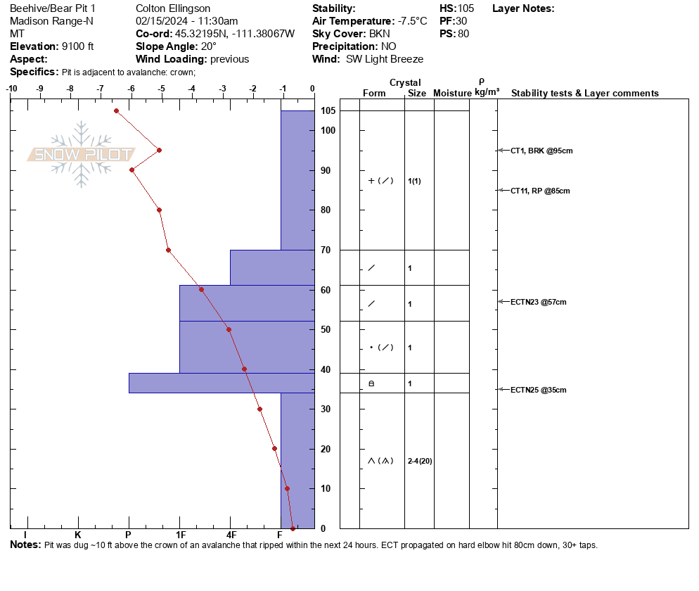
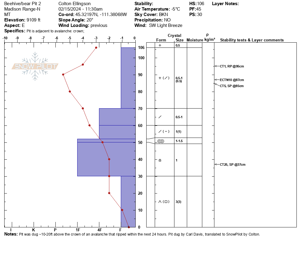
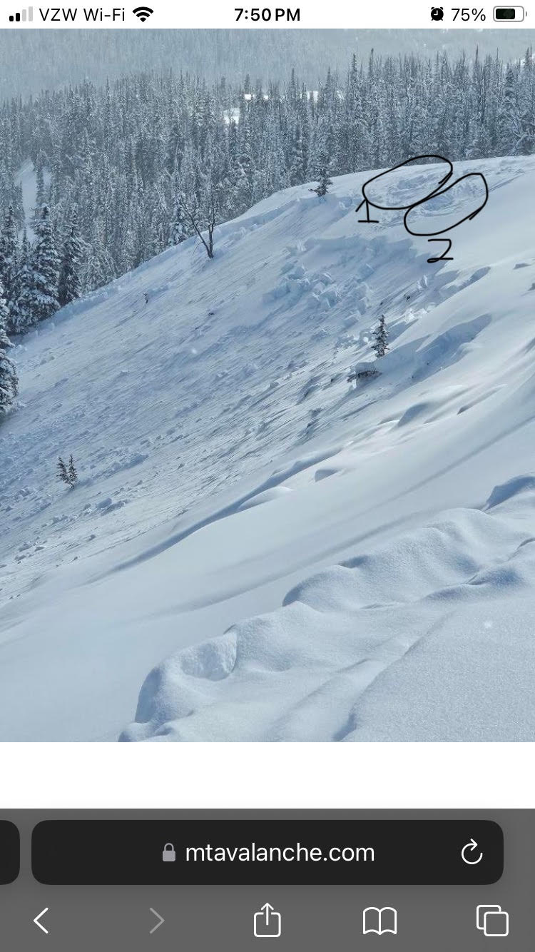
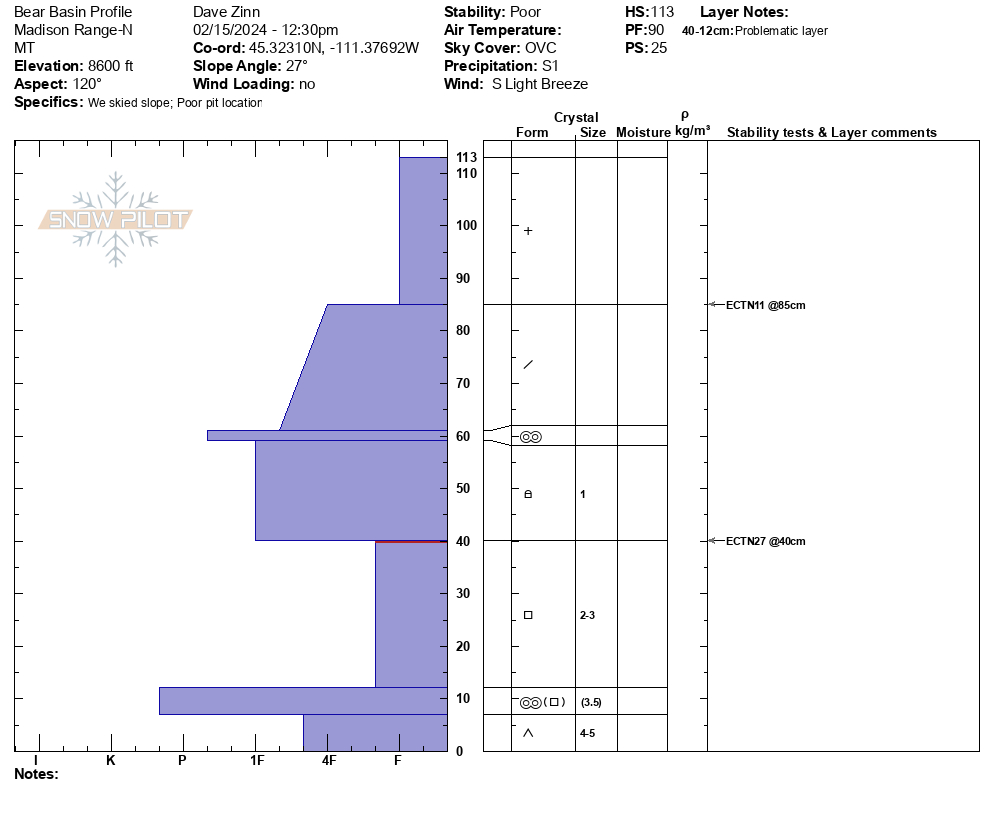
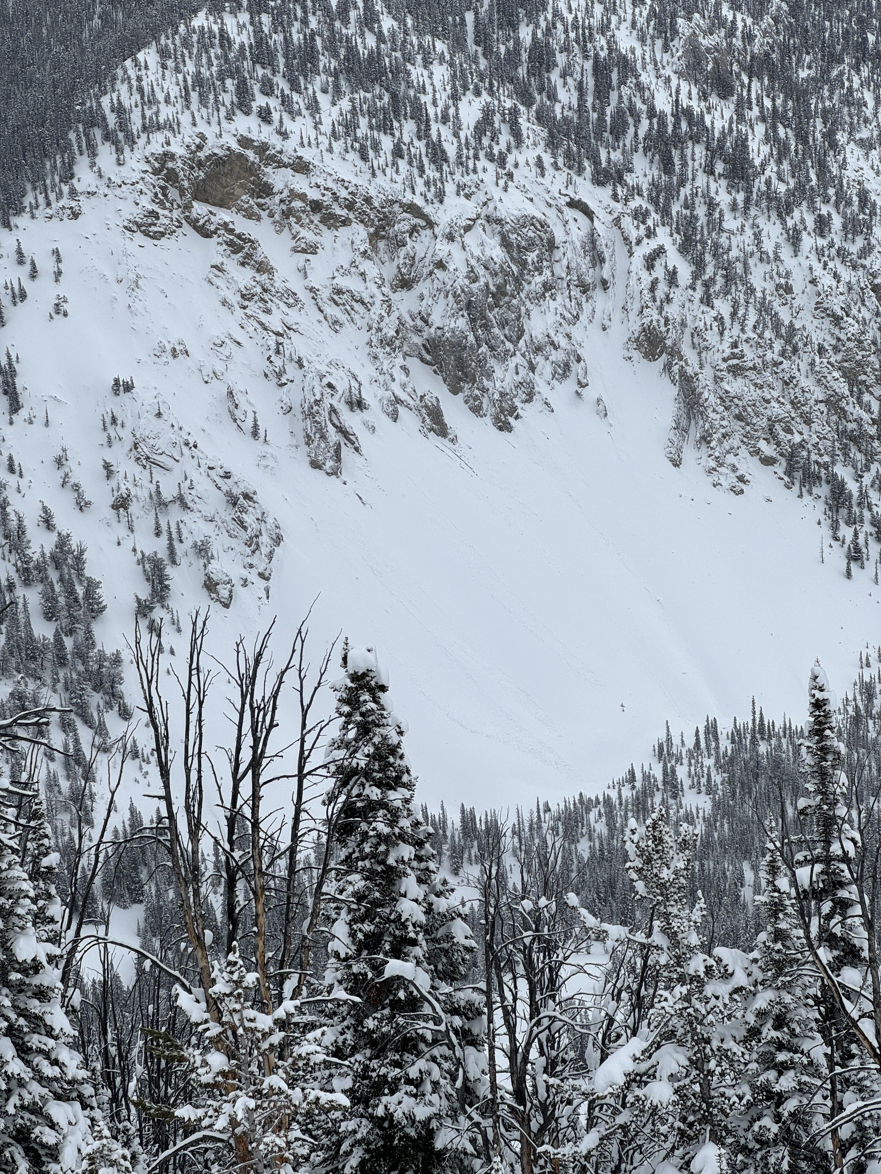
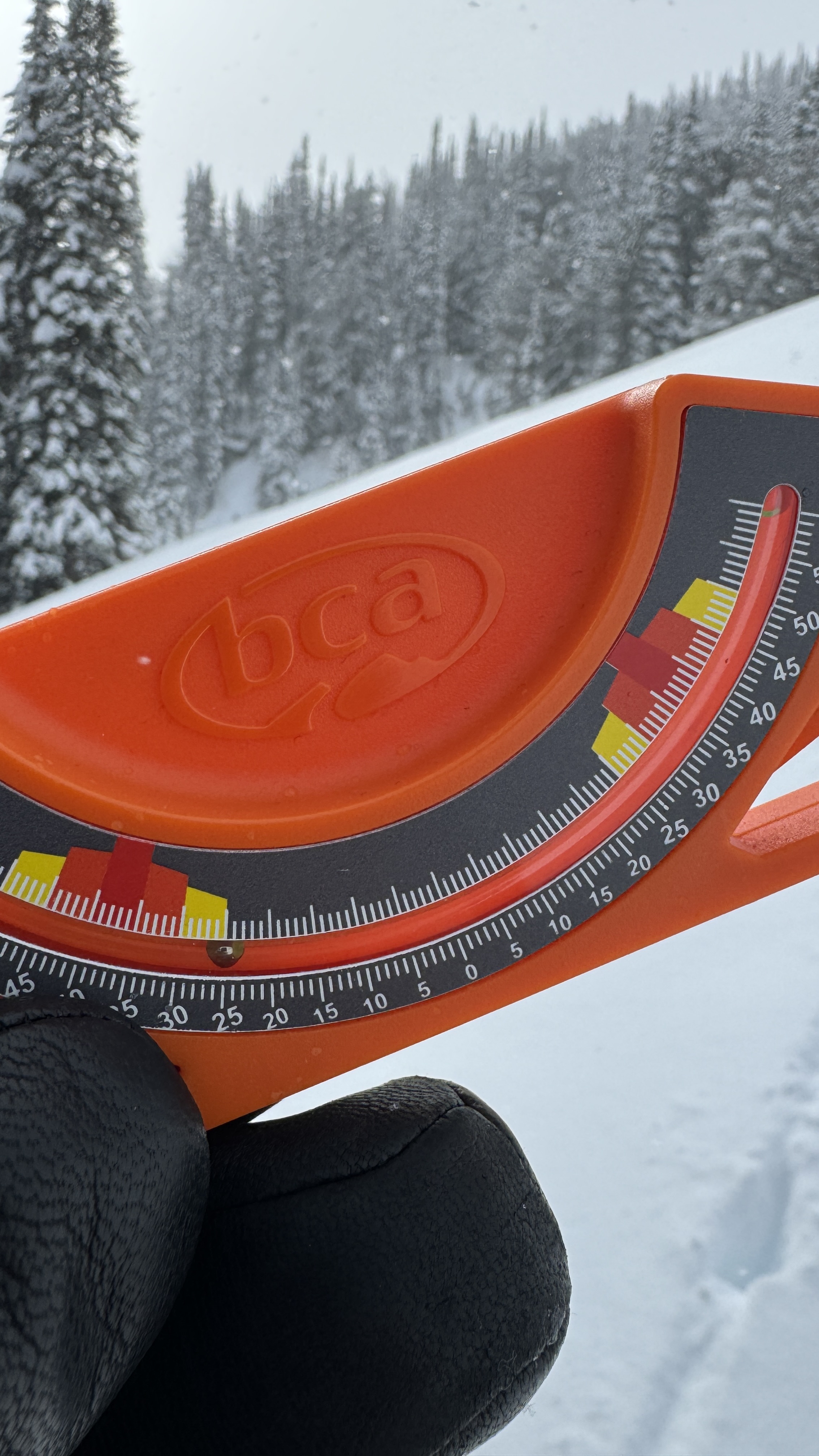
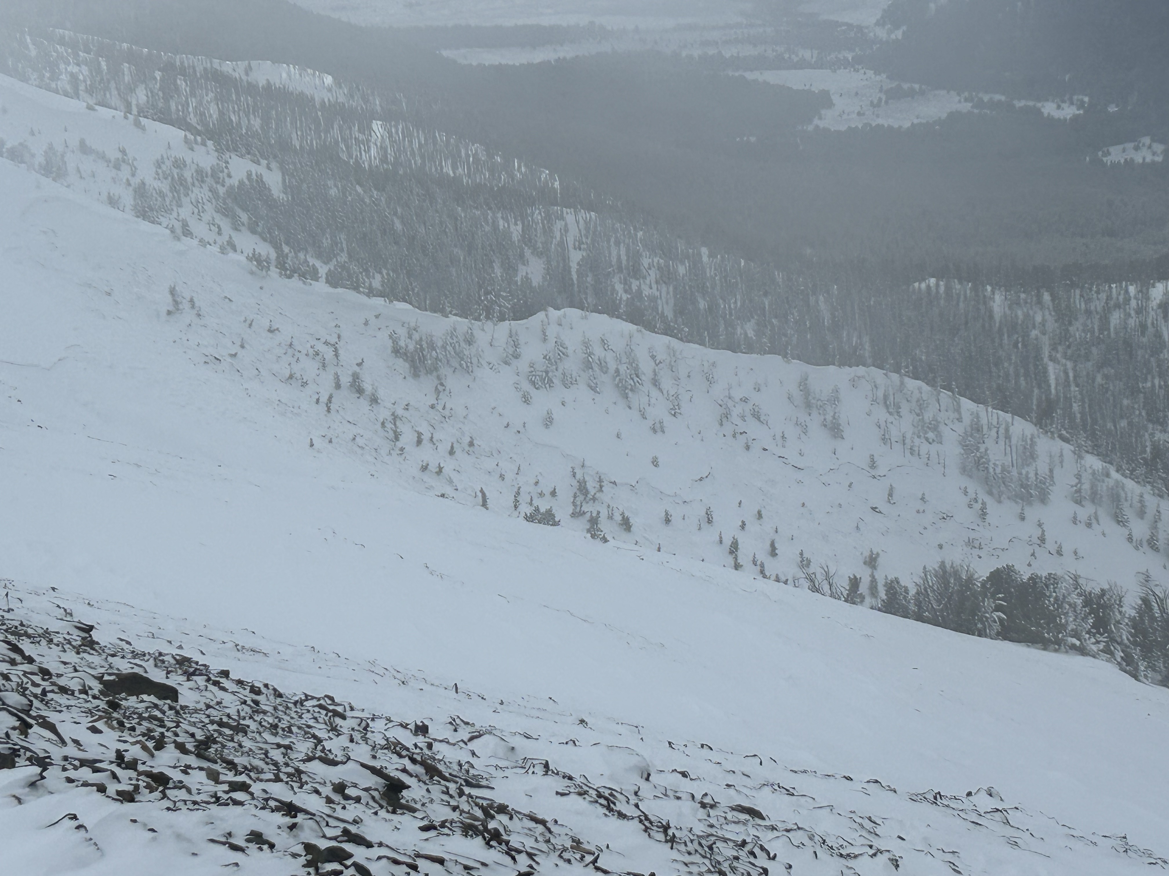
Full Snow Observation ReportFor longevity in the backcountry, base terrain selection decisions on indicators of instability rather than stability and consider the big picture rather than the small one. That is what we did in Beehive/ Bear Basins today (2/15). With an avalanche warning in place, a foot of new snow, a natural avalanche across the valley, and a snowpack that has proven to be reliably unstable this season, we ignored stable test results (ECTN teens and 20s) and absence of observed cracking/ collapsing. We executed our plan to avoid terrain over 30 degrees. Additionally, with the season's history of triggering avalanches from long distances away, we were cautious about traveling below steep slopes.
We met an avalanche class who were working on snowpits closer to the ridgeline. The group experienced one large collapse and had a number of test results that propagated on the weak faceted snow low in the snowpack.
Full Snow Observation ReportNorth facing, cross loaded, mid-mountain slope on an east to west running rib at around 9,600'. Typically this zone is scoured by W-SW winds. Mild to moderate winds and new snow of 10-12" sitting on an exceptionally weak base produced a natural release during the recent storm cycle, possibly early AM 2/15/24. The slide appeared to run full track, 800' +, taking out most of the north facing wall.
Full Snow Observation ReportSun came out for for a bit around 2pm when I was on top of Henderson Mountain. Got a good look at East facing Miller, South Face of Crown Butte, west side of Sheep Mountain and did not see any recent avalanche activity. 10-12" new snow in town and on the mountain as of 2pm today.
Full Snow Observation ReportWe took advantage of great visibility and rode in from Taylor Fork up to Sage Basin and then over the Beaver Slide and around Skyline Ridge into Cabin Creek. We saw three recent avalanches along the headwall of Sage Basin and one in Sunlight Basin. Two of the slides in Sage and the Sunlight slide looked to be naturals that broke a couple days ago. All of the slide looked to be 2-3 ft deep, breaking on the early season weak snow at the bottom of the pack. One of the slides in Sage broke ~700 ft wide. The other slide in Sage looked to have been remotely triggered by riders yesterday from ~100 ft away.
Beautiful sunny weather and riding conditions today. No cracking or collapsing observed today.
It's going to be heads up as it starts snowing again. Expect to easily trigger avalanches if you get on or near any steep slopes in the next few days.
Full Snow Observation ReportTrail is groomed. Huge improvement.
I skied above hebgen today, and was surprisingly the only one out there. The clouds opened up enough to see numerous 2-4’ deep slides that occurred over the past week, on slopes down to 29-30 degrees. Many started quite low on the mountain. There were several places where 27-28 degree slopes had shattered into cracks without sliding.
I dug a pit on an east aspect at about 8200’, and found 130 cm of snow. An ECT failed at ECTP 29 at the interface of the basal junk and newer snow, about 90 cm down. Normally I would see this as an encouraging sign, but my pit today was purely academic and I skied dad pow all day. I did not experience any collapsing today, in stark contrast to the 2-300 collapses I got Nordic skiing around the hebgen basin yesterday.
End of Forest Service Wall outside of Big Sky Resort boundary.
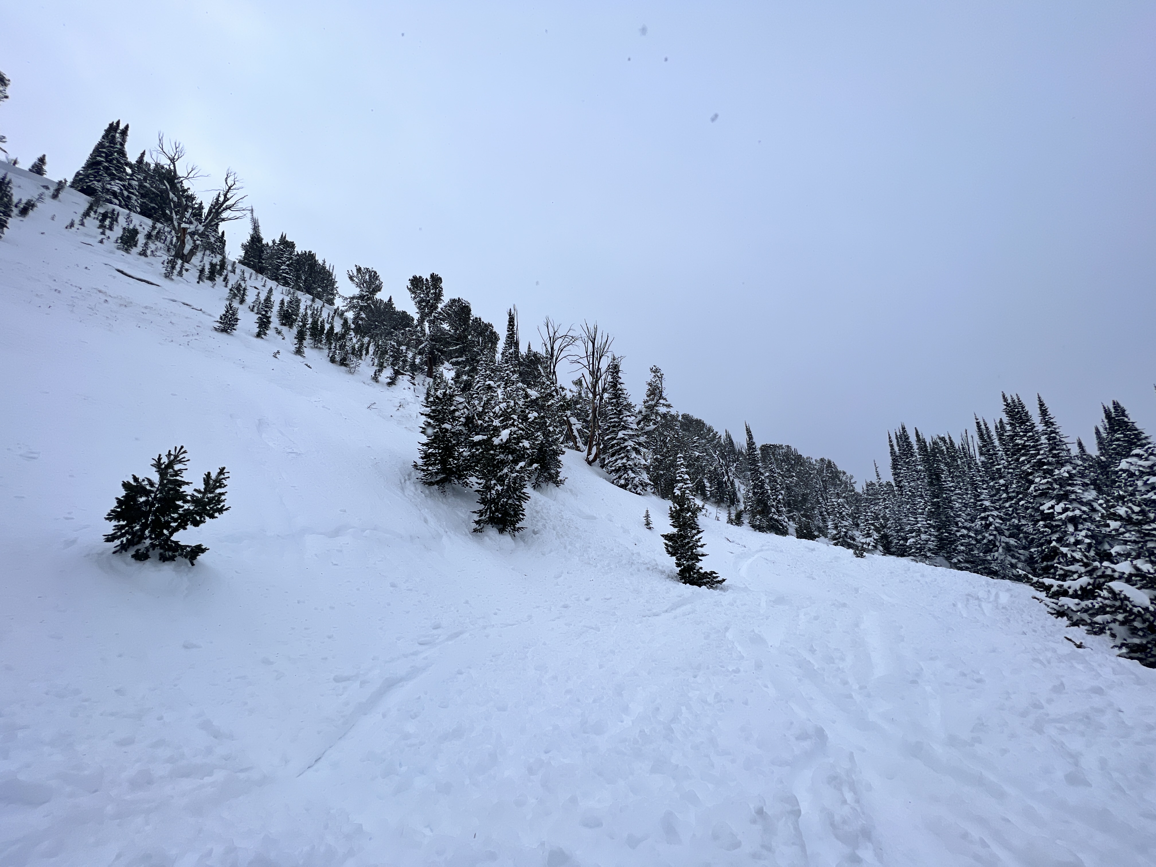
Full Snow Observation ReportWe rode into Buck Ridge today and in First Yellow Mule, we triggered an avalanche 100' away from a flat meadow below. This avalanche broke several hundred feet wide and 3' deep on weak faceted snow low in the snowpack. This was right next to a slope that we had remotely triggered weeks ago on January 22nd, observation here. We knew conditions were dangerous and chose not to travel on or near steep slopes, but triggering an avalanche in the first hour of riding didn't make us feel great. Similar to what Dave said in his video we left here feeling as though the danger was higher than we thought. From here we continued on towards Muddy Creek and along the way saw a few natural avalanches in McAtee Basin and a small recent rider triggered avalanche in Third Yellow Mule.
While signs of instability later in the afternoon were not obvious the glareing red flag from the morning had already set the tone for the day. Getting on or below terrain steeper than 30 degrees was not on the table and will remain off the table until conditions improve.
Full Snow Observation Report
In the crown, we got an ECTP 26 that broke below where the avalanche had broken.
Observed a recent avalanche on Henderson Mountain East aspect today.
Full Snow Observation ReportPro 1 class pits and field observations:
Bottom Line: Still isn't looking good.
We toured out in Beehive Basin, conducted stability tests representative of of adjoining terrain. In 5/6 test pits we found the persistent weak layer is still problematic if you are going to get your skis or sled underneath the upper melt-freeze crust. There was also dramatic spacial variability of layers and reactivity even within a 50m x 50m area. This led us to believe that although there are tracks on the mountain, the button is still hiding waiting to be pushed.
The new storm layers have very poor bonding and are also capable of propagation.
We observed two natural (assumption) slides one ridgeline back on lower Beehive Peak, leading us to conclude there is a possibility of small to medium size avalanches within the new snow layers in addition to the massive sleeping dragon at the bottom of the pack.
Full Snow Observation ReportGot a whumph descending the ridge from little Ellis on the ENE facing slope just below the ridge around 7000'.
Saw some small cornices but snow was soft below the ridge. Hopped on the flat ridge top adjacent to a wind lip and got no result.
Full Snow Observation Report
