Snow Observations List
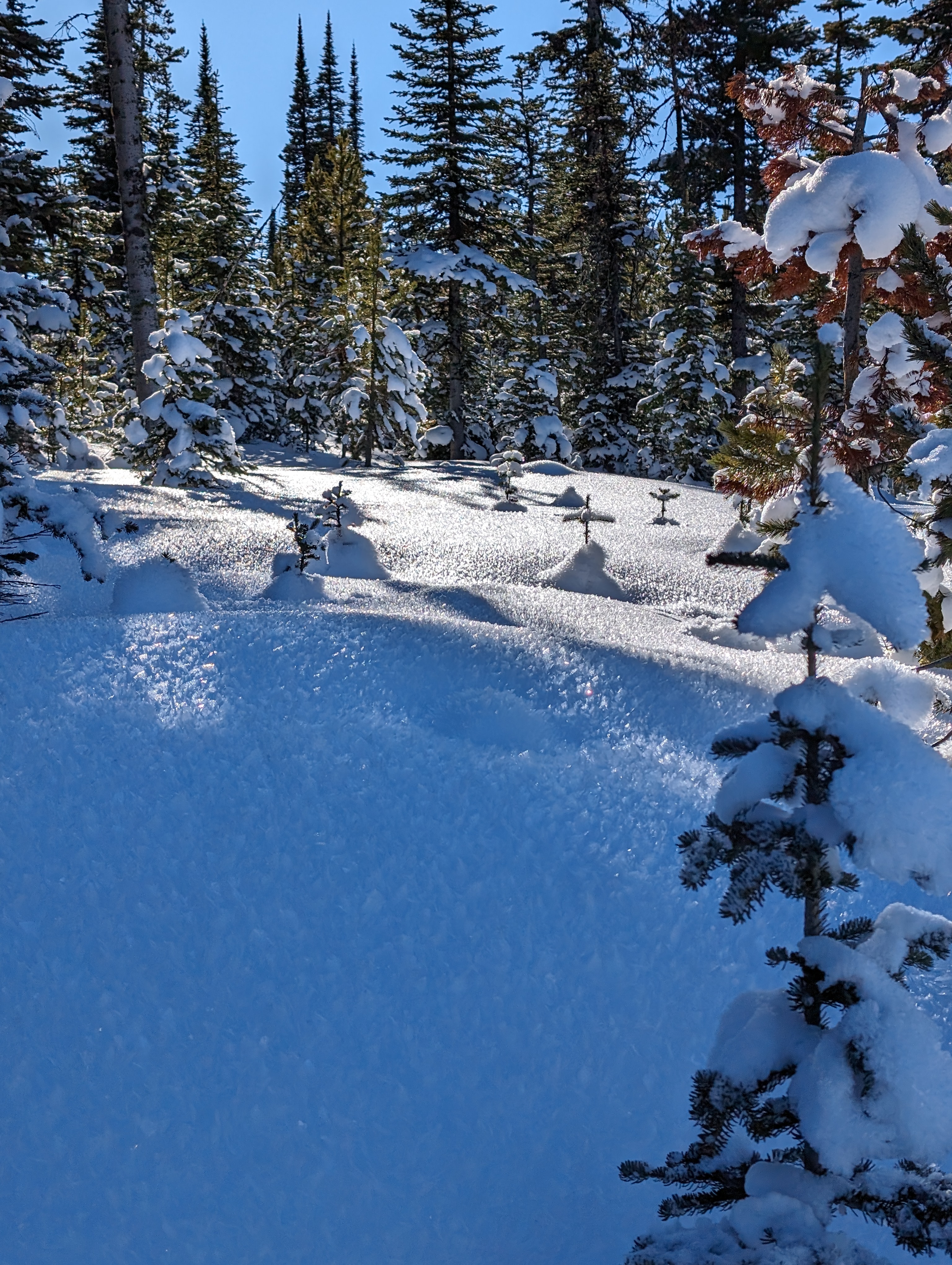
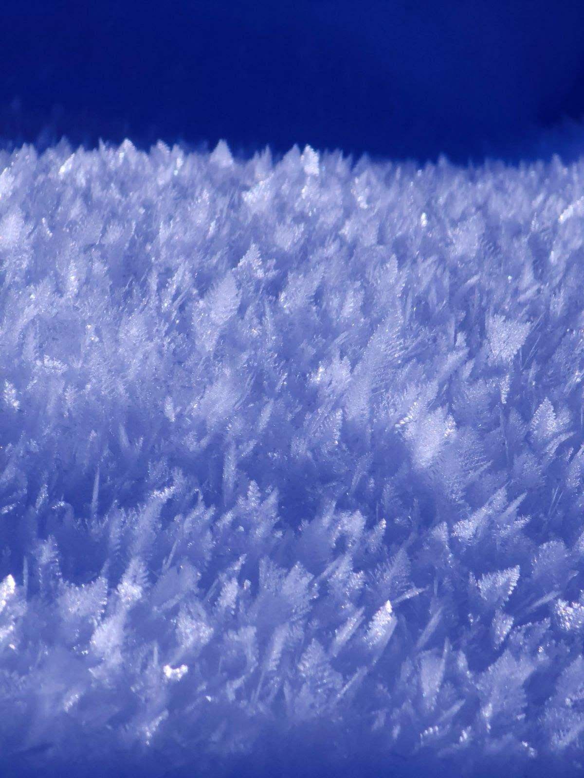
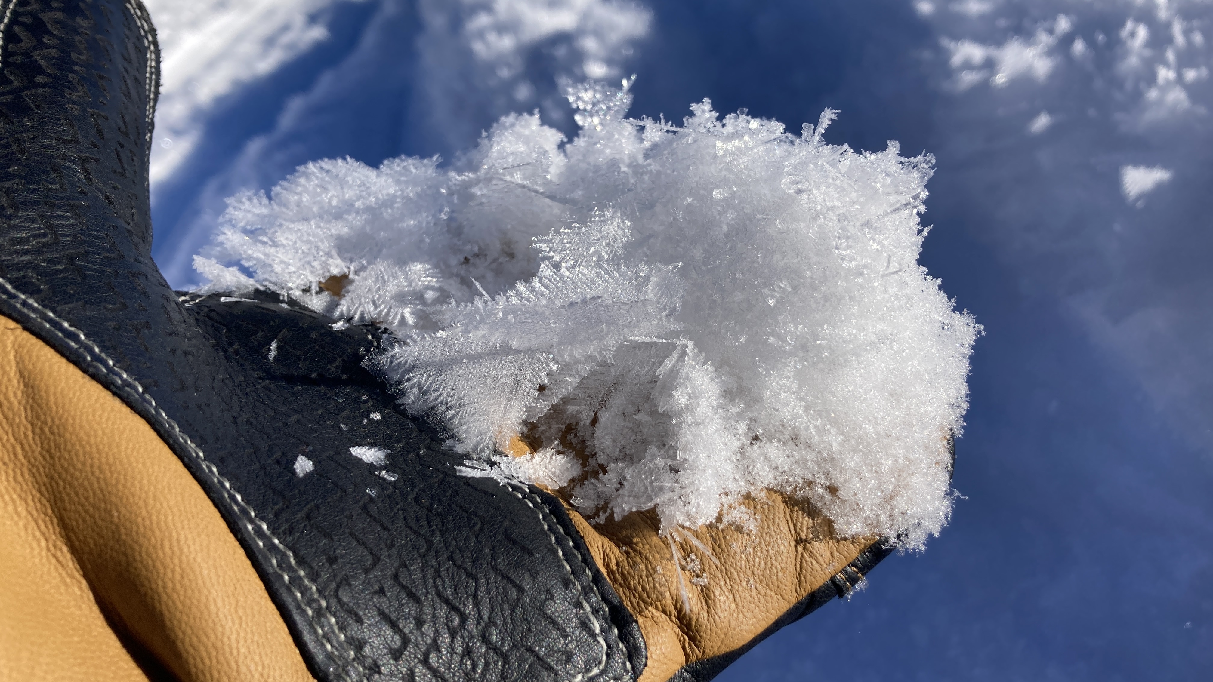
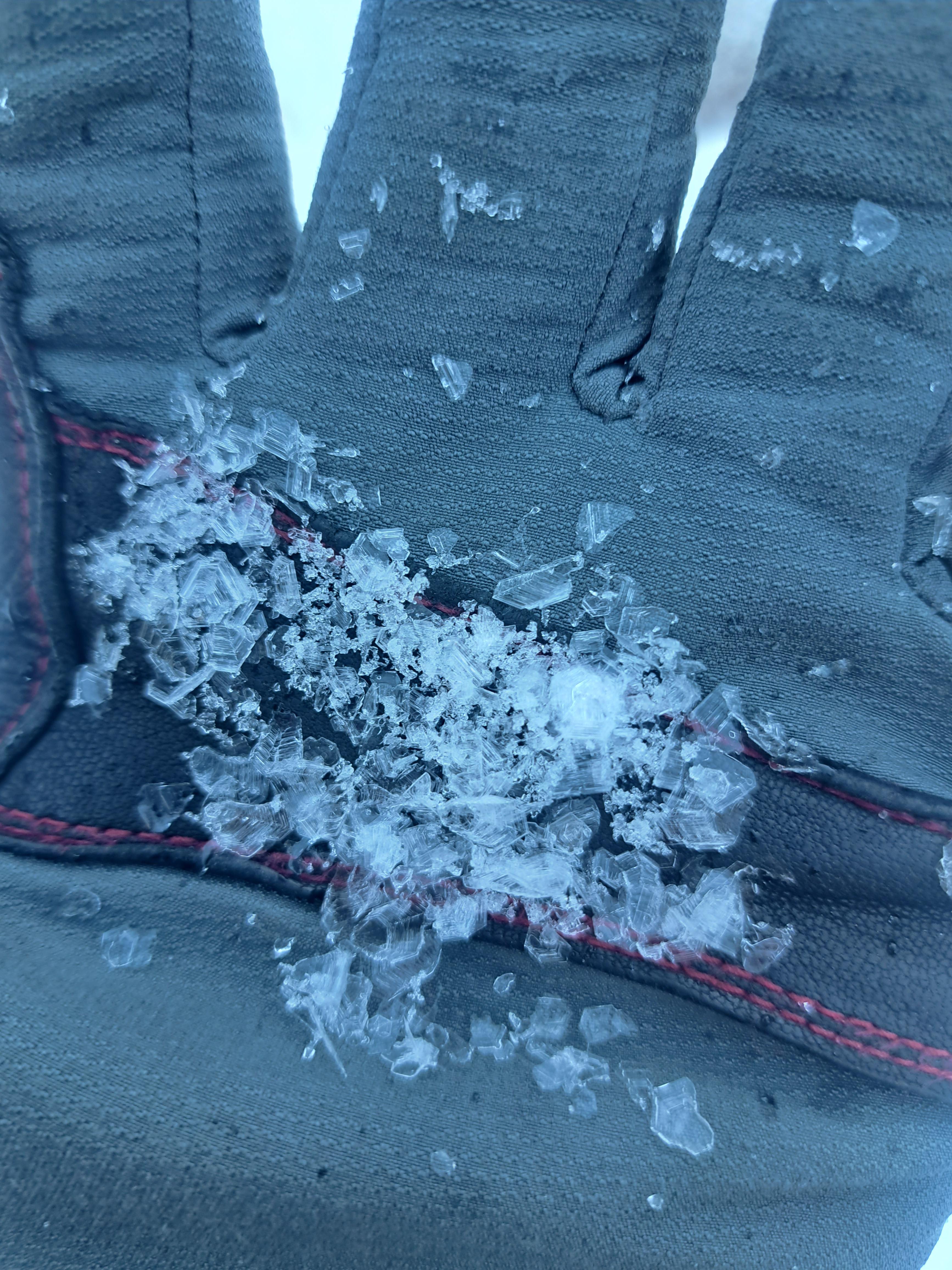
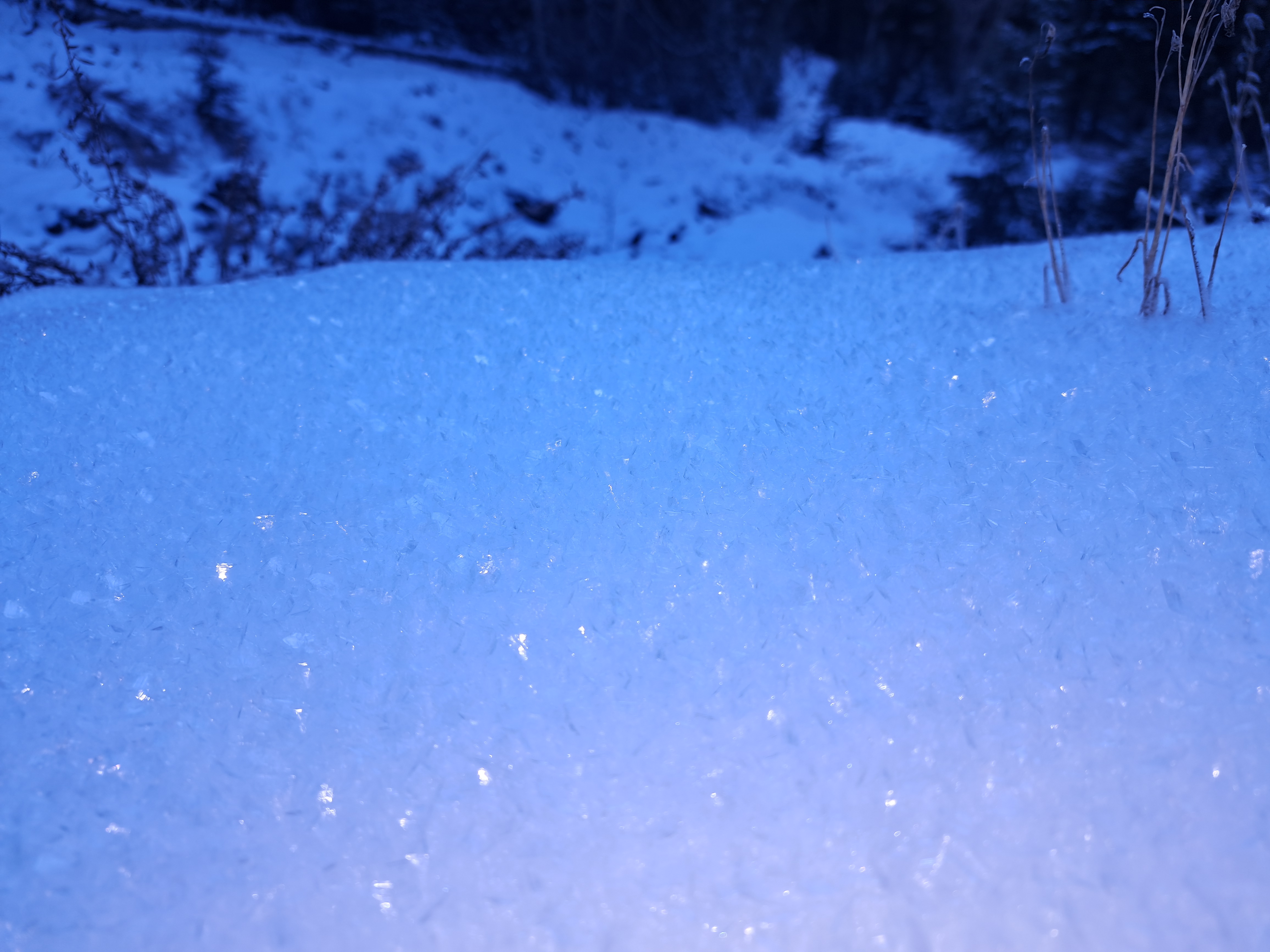
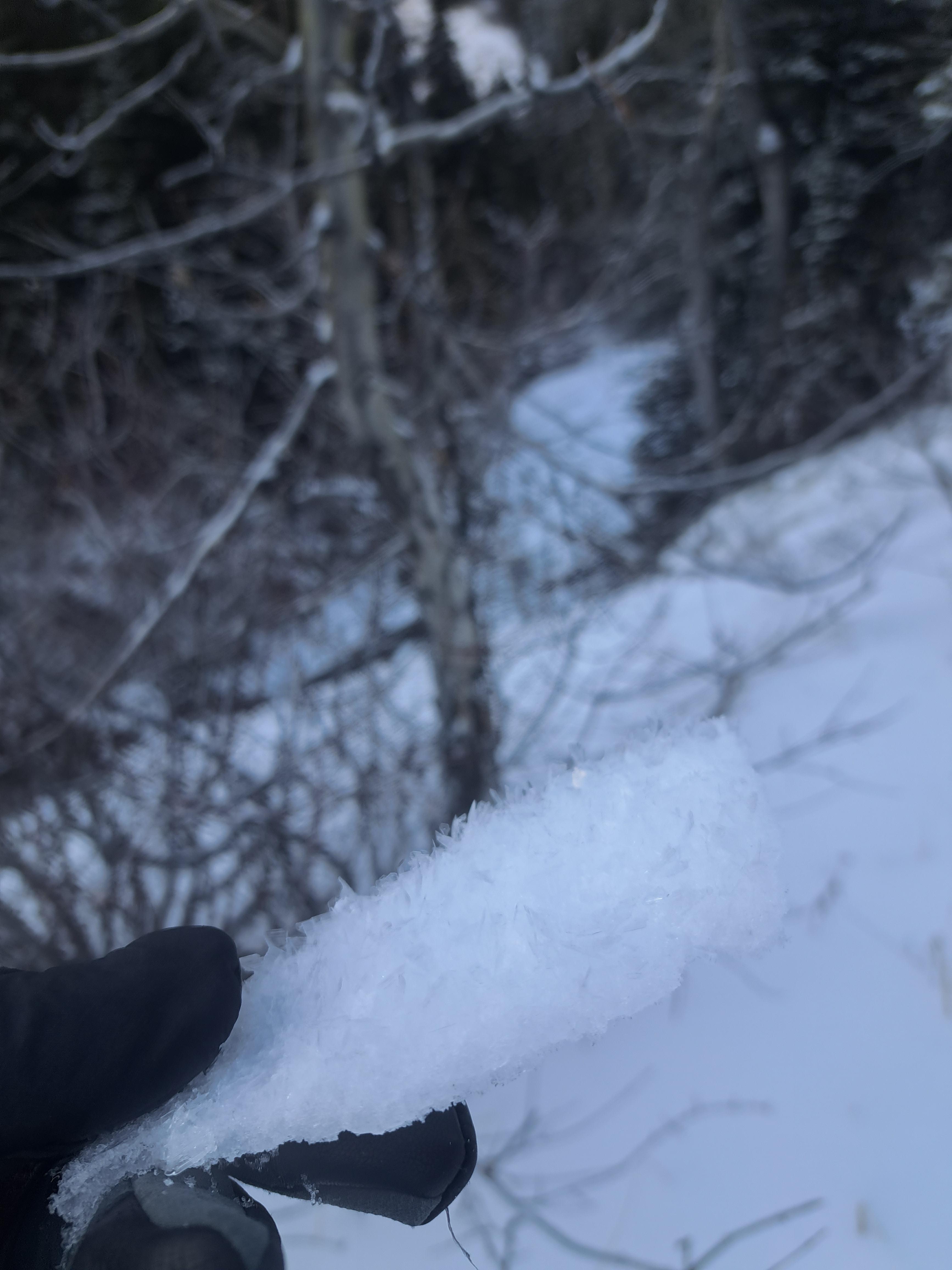
Traveled Hayden and Republic Creek last two days. Surface hoar throughout all elevations and aspects including ridge tops. Generally large crystal size.
Some settling, no whomphing observed. Old slab avalanche on west Republic Ridge nearing Republic pass. Snow pit off Woody Ridge on SE aspect towards Hayden found ~80cm snow depth at 9800’ with supportive upper snowpack (4f) above weak facets to ground. ECTP16 with propagation on this interface. Ski quality good. Southern aspects developed a thin solar crust through the wknd.
Full Snow Observation Report
From email: "Miller Ridge snowpit from today: 9300', NE Aspect. HS: 67cms. ECTP 11 at 36.
Then we toured over for some runs on SW Henderson. Obviously more supportable over there. Less collapsing.
Aside from the widespread SH that has been forming on all aspects and elevations this week, the shady aspects appear to be getting more faceted mid-snowpack, while the solar aspects appear to be gaining strength"
Full Snow Observation ReportRepublic creek tour snowpack observations:
Observed collapsing/cracking in lower Midway meadows. Snowpit tests produced unstable results - easy propagation and failure between old snow (Oct-Nov) and new snow (early December).
Noted one old natural avalanche on south Woody Ridge, west aspect ~9500'.
Significant surface hoar growth in Republic creek.
Full Snow Observation ReportHeight of Snow from 50-65. Traveled around Bradley Meadow area and down into Wolverine Basin. ECTP 19 @35 cm down (unstable result) 7500 ft east aspect. Experienced a large collapse below the N half of Bradley Meadows in a small meadow - 7400 ft east aspect.
Full Snow Observation ReportWidespread wumfing between 7,000 - 8,700ft. in Targhee Creek. (12/15)
No natural slides observed.
Crazy large surface hoar also observed on open, southerly clearings, measured 1+ cm. Very rotten snowpack otherwise.
Full Snow Observation ReportBig Sky Ski Patrol reported two natural avalanches, seen today (12/15) in closed terrain.
From email:
"It looks possible that they released at two different times during the day today.....It looks to be the storm snow, which was sitting on lower-density snow at the old snow interface. That interface likely had a layer of faceted snow on top of the old, crusty snow. "
Full Snow Observation ReportFrom email: "Skied into Sheep Creek yesterday. (12/14)
Warm and sunny day. Above freezing temps at 9500' on solar slopes. Crusts forming. Lots of Surface hoar otherwise.
Noted one recent large slab avalanche on a SE aspect of Miller Ridge. Estimated to be about 100' wide and 1-4' deep. It ran about 1/3 track or 600' vert. No fresh snow on the debris, so it likely ran at the end of the last snowfall event.
Less collapsing up there yesterday than what we've been experiencing all week, but there was one BIG collapse in one of the meadows in the valley bottom (estimated 300'+ diameter). Remote triggers are still a serious concern.
Snowpit from a S, SE aspect around 9300'. HS: 95, ECTP29 at 46."
Full Snow Observation Report9700’, W, 23 degrees, Hs 100cm
Ectp16 @60cm on .5-1.5mm facets
The average snow depth was around 70cm with slab depth being 25-40 cm. Widespread surface hoar on the surface, all elevations and aspects.
I didn’t feel any collapsing or see any cracking.
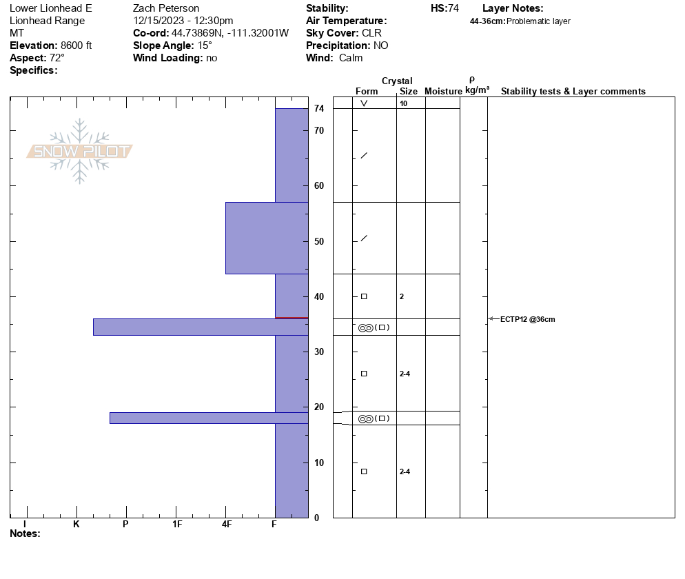
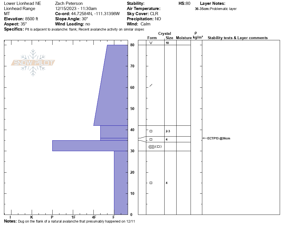
Full Snow Observation ReportWe rode up Denny Creek towards Watkins Creek and spent the day below the ridge where we saw two natural avalanches. These avalanches broke 12-18" deep on weak faceted snow above a stiff crust. The first avalanche presumably happened sometime near the end of the last storm cycle (12/11), as it had a few inches of snow on the debris. The second was more recent, in the last 24-36 hours. Both were at 8500' and were on NE and E-facing slopes.
We dug two snow pits near these avalanches and saw propagation in both on a layer of weak sugary snow buried about a foot deep (ECTP13 & ECTP12). Across the area surface hoar was easy to find on the snow surface.
Full Snow Observation ReportPerformed two ECTs and a PST on an E aspect at roughly 9000’. HS was about 50 cm and the old faceted snow below the new snow was obvious. We had two ECTX in adjacent pits and a PST result of 40/100 Arr on the interface of old and new snow. These results were surprising as the snowpack structure had 4/5 lemons and we experienced Whumpfing on the same slope just 100 feet away. We also experienced whumpfs in other locations throughout the basin.
Full Snow Observation Report
Toured up to the lake and dug at 9200ft west facing just up slope from the lake. Failure while trying to isolate the column for a etc on fist attempt. 2nd test was etcp1. Some collapsing while skiing across the flats. Three days ago in middle, had some huge surface hoar as well as big collapsing and cracking.
Full Snow Observation ReportToday I was skiing a south facing slope between 8500-9500 ft near Mt Henderson. I observed at least ten large collapses, some of which sent cracks 30 feet long. This slope had a shallow snowpack relative to the rest of the area.
Full Snow Observation ReportWe drove and then rode up Little Bear this morning on the 3138 road (also snowmobile route #900). Once 3138 splits off from 980 there was mostly enough snow for riding on the road without issues but little else. Snow depth varied from 4-6 inches, down to 2-3 inches in sun and wind exposed areas, to as much as 18 inches or so higher up (8400'). We also saw some spectacular surface hoar- probably 1-2" tall in places with extremely sugary snow underneath; often so sugary we weren't leaving well defined tracks behind our sleds. As with everywhere else, we heard some collapses while off of our machines.
Full Snow Observation ReportFrom email: 12/13: "Many slopes had half-inch to inch-sized surface hoar crystals on the surface, some of the largest I've ever seen!
Wind was light out of the north on the ridgeline. We noticed 2 natural avalanches on the east-facing slopes below Bald Peak. I lost count, but we experienced well over 30+ collapses while walking on the ridgeline. Many of these collapses were very large and we were able to watch the slopes 'sink' by upwards of an inch which made our hair stand on end.
We dug a pit near the saddle below Lionhead Peak at 9300' on an east-facing slope (HS ~85cm). We performed an ECT and our results indicated poor stability (ECTP 14 @ 50cm)."
Full Snow Observation ReportFrom email: "Over the last couple days, I’ve been seeing very large surface hoar formations on most of the snowpack from ~7000 ft+. They continue to grow day to day, I’ve measured crystals over 5mm tall. Hopefully the warm temperatures over the next week will melt these before our next storm cycle, but only time will tell."
Full Snow Observation ReportWe rode into Tepee Basin to look at an avalanche that was triggered by riders on Saturday (12/9) from the flats below the slope. On the way in we saw widespread and large surface hoar on the snow surface. We dug a snowpit next to the avalanche and we saw ECTN results (ECTN 13) on weak-faceted snow under early December snow. This was the same layer that the avalanche failed on. Recent avalanche activity and poor structure were more than enough to keep us from riding steep slopes.
Full Snow Observation ReportAspect was NNE 070 deg. 8100 ft.
85 cm snow depth
First 20 cm from the ground up was large facet, rotting snow.
Remaining 60 cm was consolidated.
No collapsing or shooting cracks noted.
No natural slides seen in the area.
Spoke with another party that was skiing S of The Throne. They heard large collapses while skinning over flat terrain.
Full Snow Observation ReportI walked up from Halfmoon this morning to see what is happening with the snowpack in the Crazies. I only went up to about 7000ft, temps were in the mid 20s and wind was very light out of the west. Not surprisingly, I found very minimal snow coverage, with the deepest snow I found around 3 in. South facing aspects were almost completely bare, and much above tree line appeared totally scoured. Where there was snow on the ground, on average 1-3 inches, there was a thick crust with large surface hoar crystals on top and very light density snow below. Didn't look great, I left my skis at the car!
Full Snow Observation ReportFrom email: "Skinned up to about 8600ft in Mill Creek area near Arrastra drainage. Frequent collapses heard/felt once above about 8k, where snow totals seemed to average 12-24 inches on E to N aspects, more up higher. Sparse/discontinuous snowpack below 8k. Lots of 1cm surface hoar in protected areas.
Saw a couple recent (<48 hours old) large crowns up higher in the E facing bowls around 9800ft, one of which appeared to be triggered by a cornice fall (not pictured). Lots of ridge top wind transport a few days ago in this area, none seen this morning"
Full Snow Observation ReportGot a view of the bowls behind maid of the mist and above twin falls today. Multiple natural wind slabs, up to size 2, on E and NE aspects, roughly 9500 ft. SS-N-R2D2-I. My guess is they are roughly 48 hrs old.
Full Snow Observation Report


