Good morning. This is Doug Chabot with the Gallatin National Forest Avalanche Forecast on Tuesday, April 9th, at 6:30 a.m. Today’s forecast is sponsored by Gallatin County Sheriff Search and Rescue and Idaho State Snowmobile Association - Avalanche Fund. This forecast does not apply to operating ski areas.
At 5 a.m. there is no new snow to report. Mountain temperatures are in the low 20s F with clouds and strong westerly wind at 15-40 mph. Snowfall today will amount to 1-2”, except in Cooke City where 3-4” may fall. Under cloudy skies, temperatures will reach the mid to upper 30s F and wind will remain strong from the west before decreasing overnight. Wednesday and Thursday look to be sunny and warm.

All Regions
The forecasted clouds and wind will keep the wet snow avalanche danger at bay for one more day. Although I do not expect sun today, if it shines, the snow surface will melt quickly and avalanche danger will rise. Stay out of avalanche terrain once you start seeing roller balls or start sinking into wet snow.
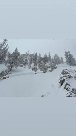
The dry snow avalanche danger is a larger concern, especially on wind-loaded slopes. Over 2 feet of snow fell in the Bridger Range over the weekend with 12” around Big Sky and 4-7” everywhere else. On Sunday, skiers triggered many avalanches in the Bridger Range in the new snow. Both Alex and Dave made videos of the instability to look out for The Ramp (video) and The Throne (video). This activity has subsided, but the current wind will keep the possibility of triggering slides alive. Wind is loading slopes at many elevations so be careful in gullies and near ridgelines where drifts can be thick. This new snow is sitting on a hard ice crust in many areas which may help avalanches propagate wide.
Deeper in the snowpack near the ground is a layer of facets that blanket our forecast area. This layer is weak and could avalanche, especially on higher elevation slopes that did not experience melting last week. We consider this risk low probability, high consequence. If getting up high is your jam today, then dig, assess and be aware of the possibility of a large avalanche.
The danger is rated MODERATE throughout our forecast area.
Our last daily forecast of the season is Sunday, April 14.
If you get out please submit an observation. It does not need to be technical. Did you see any avalanches? How much snow is on the ground? Was the wind moving snow? Simple observations are incredibly valuable. You can also contact us by email (mtavalanche@gmail.com), phone (406-587-6984), or Instagram (#gnfacobs).
Upcoming Avalanche Education and Events
Hyalite Road Closure: Hyalite road is closed to ALL MOTORIZED VEHICLES until the morning of May 16. This is a regular annual road closure to reduce road damage during the spring thaw. Bicycle and foot traffic are allowed. Contact the Bozeman FS Ranger District for more info.
Events and Education Calendar.
Loss in the Outdoors is a support group for those affected by loss and grief related to outdoor pursuits. Check out the link for more information.
Lorea Zabaleta wrote a great article in the Bozeman Daily Chronicle highlighting the work of the GNFAC. You can read it here.